


Coffey, MO
Advertisement
Coffey, MO Map
Coffey is a US city in Daviess County in the state of Missouri. Located at the longitude and latitude of -94.006100, 40.105800 and situated at an elevation of 287 meters. In the 2020 United States Census, Coffey, MO had a population of 151 people. Coffey is in the Central Standard Time timezone at Coordinated Universal Time (UTC) -6. Find directions to Coffey, MO, browse local businesses, landmarks, get current traffic estimates, road conditions, and more.
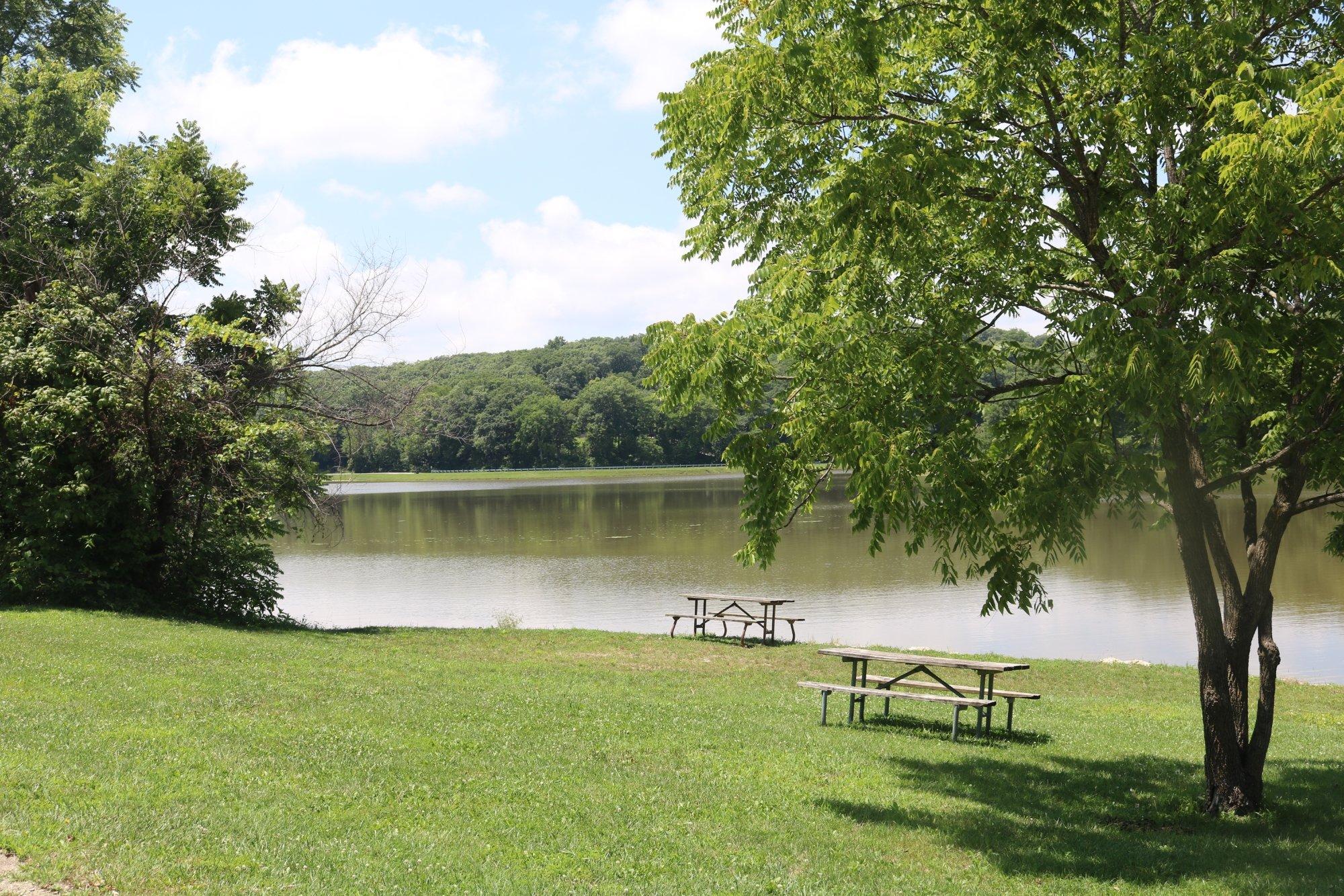
Coffey, Missouri is a small city that, while not widely known for grand tourist attractions, offers a quaint and authentic glimpse into rural American life. This city is characterized by its tight-knit community and the serene landscapes that surround it, making it an ideal spot for visitors seeking a peaceful retreat. Historically, Coffey has its roots in agriculture, providing a backdrop of rich farmland and open skies that have defined its culture and economy over the years.
Visitors to Coffey can explore a few local spots that capture the essence of the city. The area is perfect for those interested in outdoor activities, with ample opportunities for hiking and nature walks through the picturesque countryside. Additionally, local community events often bring residents together and offer a glimpse into the friendly, neighborly spirit that defines Coffey. While it may not boast the bustling attractions of larger cities, Coffey provides a unique charm and a taste of classic Midwestern hospitality.
Nearby cities include: Jameson, MO, Pattonsburg, MO, Gilman City, MO, Bethany, MO, McFall, MO, Gallatin, MO, Jamesport, MO, Brimson, MO, New Hampton, MO, Altamont, MO.
Places in Coffey
Dine and drink
Eat and drink your way through town.


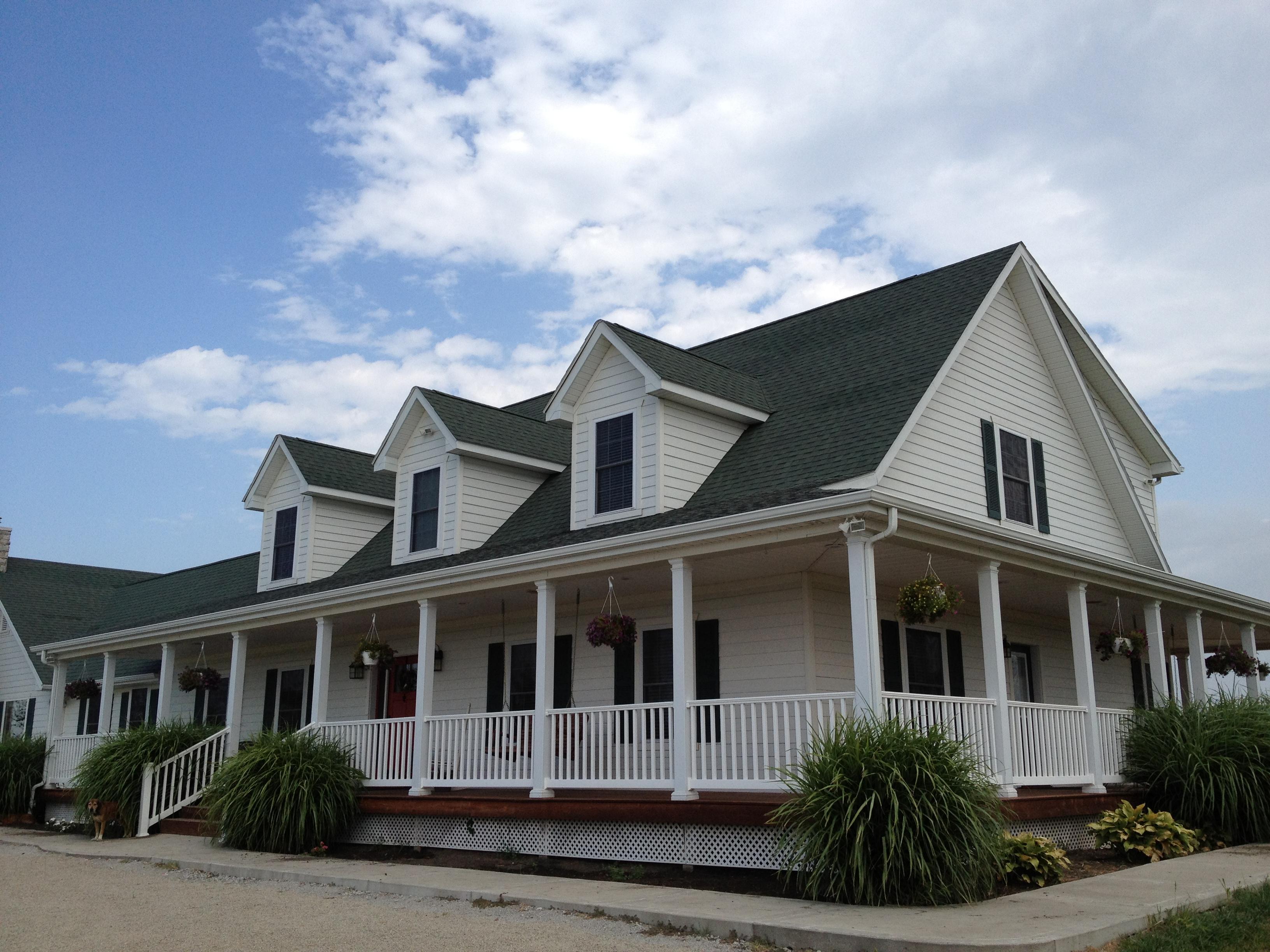
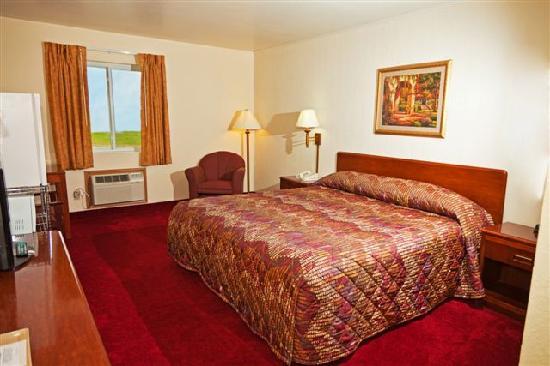
Places to stay
Hang your (vacation) hat in a place that’s just your style.


Advertisement