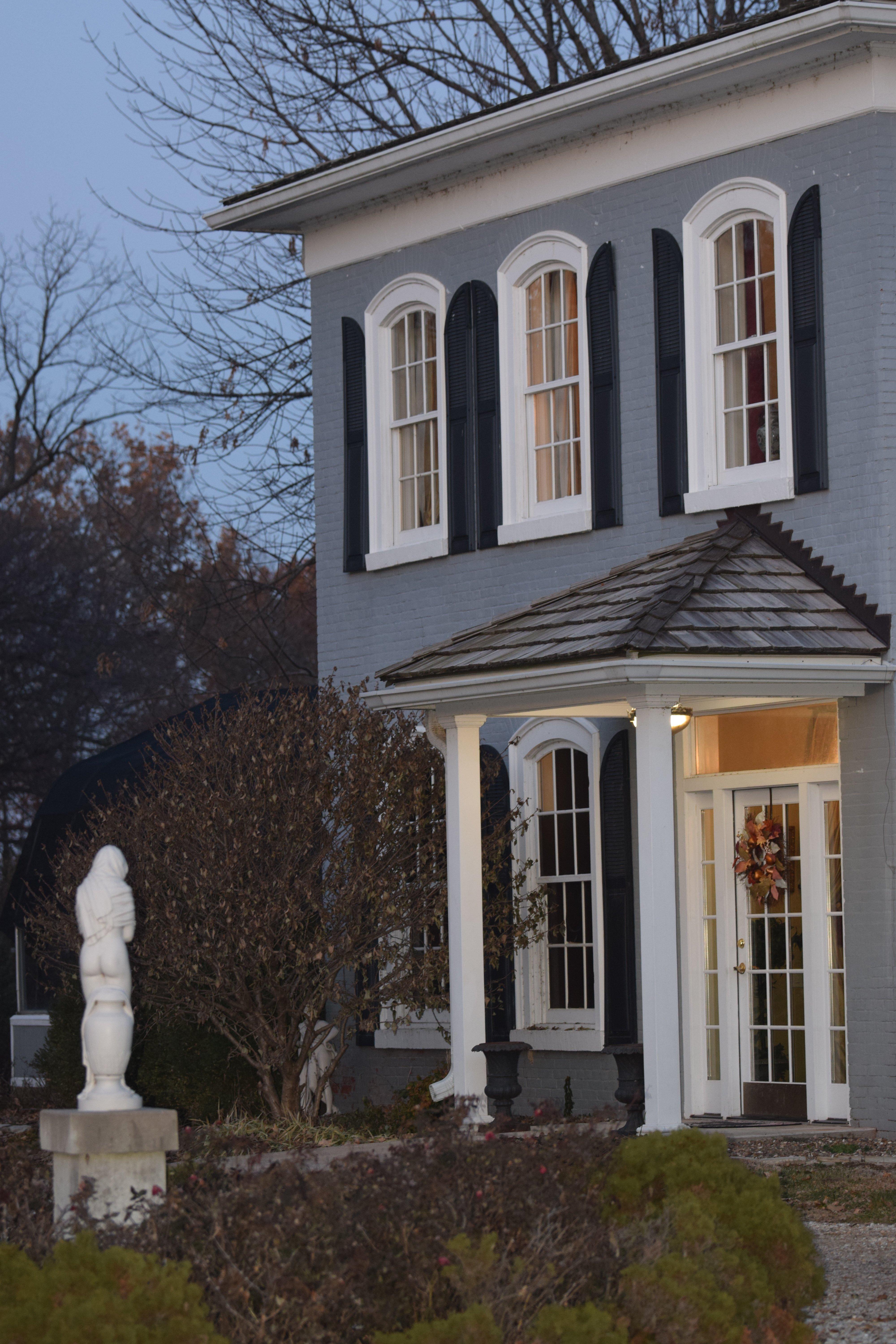
Annada, MO
Advertisement
Annada, MO Map
Annada is a US city in Pike County in the state of Missouri. Located at the longitude and latitude of -90.827780, 39.261390 and situated at an elevation of 137 meters. In the 2020 United States Census, Annada, MO had a population of 14 people. Annada is in the Central Standard Time timezone at Coordinated Universal Time (UTC) -6. Find directions to Annada, MO, browse local businesses, landmarks, get current traffic estimates, road conditions, and more.
Annada, Missouri, is a small and tranquil town that offers a glimpse into rural American life. Primarily known for its proximity to the Mississippi River, Annada is a destination for those interested in birdwatching and outdoor recreation. The nearby Clarence Cannon National Wildlife Refuge is a highlight for nature enthusiasts, offering a sanctuary for migratory birds and a variety of wildlife. This refuge is a key attraction, drawing visitors who appreciate the serenity and natural beauty of the wetlands.
Historically, Annada has been a part of the broader agricultural landscape of Missouri, with its roots tied to farming and river trade. While it may not boast a plethora of tourist attractions, its charm lies in its simplicity and the warm hospitality of its residents. Visitors often appreciate the peaceful atmosphere and the opportunity to experience a slower pace of life, making it a unique stop for those exploring the rural heart of Missouri.
Nearby cities include: Paynesville, MO, Hamburg, IL, Elsberry, MO, Clarksville, MO, Eolia, MO, Whiteside, MO, Kampsville, IL, Nebo, IL, Pleasant Hill, IL, Pleasant Hill, IL.
Places in Annada
Dine and drink
Eat and drink your way through town.
Places to stay
Hang your (vacation) hat in a place that’s just your style.
Advertisement


