Wuori, MN
Advertisement
Wuori Township, MN Map
Wuori Township is a US city in St. Louis County in the state of Minnesota. Located at the longitude and latitude of -92.524444, 47.613333 and situated at an elevation of 469 meters. In the 2020 United States Census, Wuori Township, MN had a population of 569 people. Wuori Township is in the Central Standard Time timezone at Coordinated Universal Time (UTC) -6. Find directions to Wuori Township, MN, browse local businesses, landmarks, get current traffic estimates, road conditions, and more.
Wuori Township, located in the state of Minnesota, is a serene and predominantly residential area known for its connection to the natural beauty of the North Star State. While not bustling with urban attractions, Wuori Township offers a tranquil escape for those looking to immerse themselves in the surrounding woodlands and lakes that Minnesota is famous for. Its landscape is ideal for outdoor enthusiasts interested in activities like hiking, fishing, and wildlife observation. The township serves as a gateway to exploring the broader natural offerings of the region, making it a peaceful retreat for nature lovers.
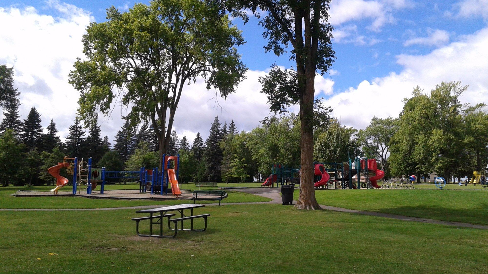
Historically, Wuori Township reflects the broader narrative of Minnesota's settlement and development, with its roots deeply linked to the expansion of logging and mining industries in the state. Although it might not boast a long list of conventional tourist sites, its charm lies in the simplicity and authenticity of rural Minnesotan life. Visitors can enjoy the township's quiet roads and local parks, offering a genuine escape from the hustle and bustle of city life. Wuori Township is a perfect spot for those seeking to experience the understated beauty and historical undercurrents of Minnesota's countryside.
Nearby cities include: Sandy, MN, Virginia, MN, Mountain Iron, MN, Pike, MN, McKinley, MN, Gilbert, MN, Biwabik, MN, Eveleth, MN, Leonidas, MN, Angora, MN.
Places in Wuori
Dine and drink
Eat and drink your way through town.
Can't-miss activities
Culture, natural beauty, and plain old fun.
Places to stay
Hang your (vacation) hat in a place that’s just your style.
Advertisement


