Leota, MN
Advertisement
Leota, MN Map
Leota is a US city in Nobles County in the state of Minnesota. Located at the longitude and latitude of -96.019722, 43.833333 and situated at an elevation of 525 meters. In the 2020 United States Census, Leota, MN had a population of 202 people. Leota is in the Central Standard Time timezone at Coordinated Universal Time (UTC) -6. Find directions to Leota, MN, browse local businesses, landmarks, get current traffic estimates, road conditions, and more.
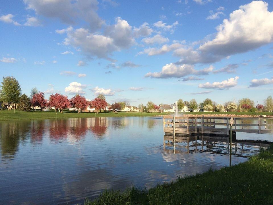
Leota, Minnesota, is a small but inviting community recognized for its tranquil rural charm and strong agricultural roots. This quaint city offers a glimpse into the serene lifestyle of the Midwest, characterized by expansive farmland and close-knit community values. Leota's history is deeply intertwined with the Dutch settlers who established the town, and this heritage is still palpable today in the community's culture and local events.
While Leota may not boast a plethora of tourist attractions, its appeal lies in its simplicity and the warmth of its residents. Visitors often enjoy exploring the surrounding countryside, which provides a scenic backdrop for leisurely drives or cycling routes. The town's local church and community center serve as focal points for gatherings and cultural events, offering a taste of the local lifestyle. Leota is a place where visitors are encouraged to slow down and appreciate the peacefulness of rural Minnesota.
Nearby cities include: Moulton, MN, Battle Plain, MN, Edgerton, MN, Kenneth, MN, Osborne, MN, Lismore, MN, Chandler, MN, Fenton, MN, Vienna, MN, Hardwick, MN.
Places in Leota
Can't-miss activities
Culture, natural beauty, and plain old fun.
Places to stay
Hang your (vacation) hat in a place that’s just your style.
Advertisement


