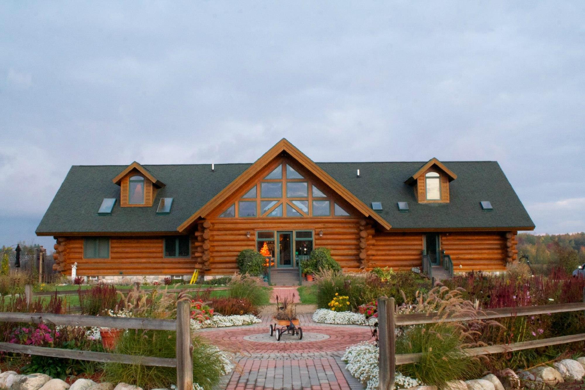
Snover, MI
Advertisement
Snover, MI Map
Snover is a US city in Sanilac County in the state of Michigan. Located at the longitude and latitude of -82.970770, 43.461130 and situated at an elevation of 774 meters. In the 2020 United States Census, Snover, MI had a population of 330 people. Snover is in the Eastern Standard Time timezone at Coordinated Universal Time (UTC) -5. Find directions to Snover, MI, browse local businesses, landmarks, get current traffic estimates, road conditions, and more.
Snover, situated in the state of Michigan, is a quaint and unassuming locale that offers a glimpse into the rural charm of America's Midwest. Known predominantly for its agricultural backdrop, Snover is a haven for those seeking tranquility away from bustling urban centers. The city is steeped in a history tied closely to farming and local craftsmanship, with a community that prides itself on its tight-knit relationships and traditional values.
Visitors to Snover can enjoy a leisurely exploration of its serene landscapes and small-town attractions. One notable spot is the local farmers' market, where fresh produce and homemade goods are abundant, providing a taste of the region's agricultural bounty. Additionally, the city hosts seasonal festivals that celebrate its farming heritage and community spirit, offering an authentic slice of life in rural Michigan. Snover's charm lies in its simplicity and the warm hospitality of its residents, making it a peaceful retreat for those looking to experience the heartland of America.
Nearby cities include: Moore, MI, Lamotte, MI, Argyle, MI, Elmer, MI, Sandusky, MI, Custer, MI, Watertown, MI, Wheatland, MI, Marlette, MI, Kingston, MI.
Places in Snover
Dine and drink
Eat and drink your way through town.
Can't-miss activities
Culture, natural beauty, and plain old fun.
Places to stay
Hang your (vacation) hat in a place that’s just your style.
Advertisement


