Amasa, MI
Advertisement
Amasa, MI Map
Amasa is a US city in Iron County in the state of Michigan. Located at the longitude and latitude of -88.450760, 46.232100 and situated at an elevation of 1,441 meters. In the 2020 United States Census, Amasa, MI had a population of 195 people. Amasa is in the Central Standard Time timezone at Coordinated Universal Time (UTC) -6. Find directions to Amasa, MI, browse local businesses, landmarks, get current traffic estimates, road conditions, and more.
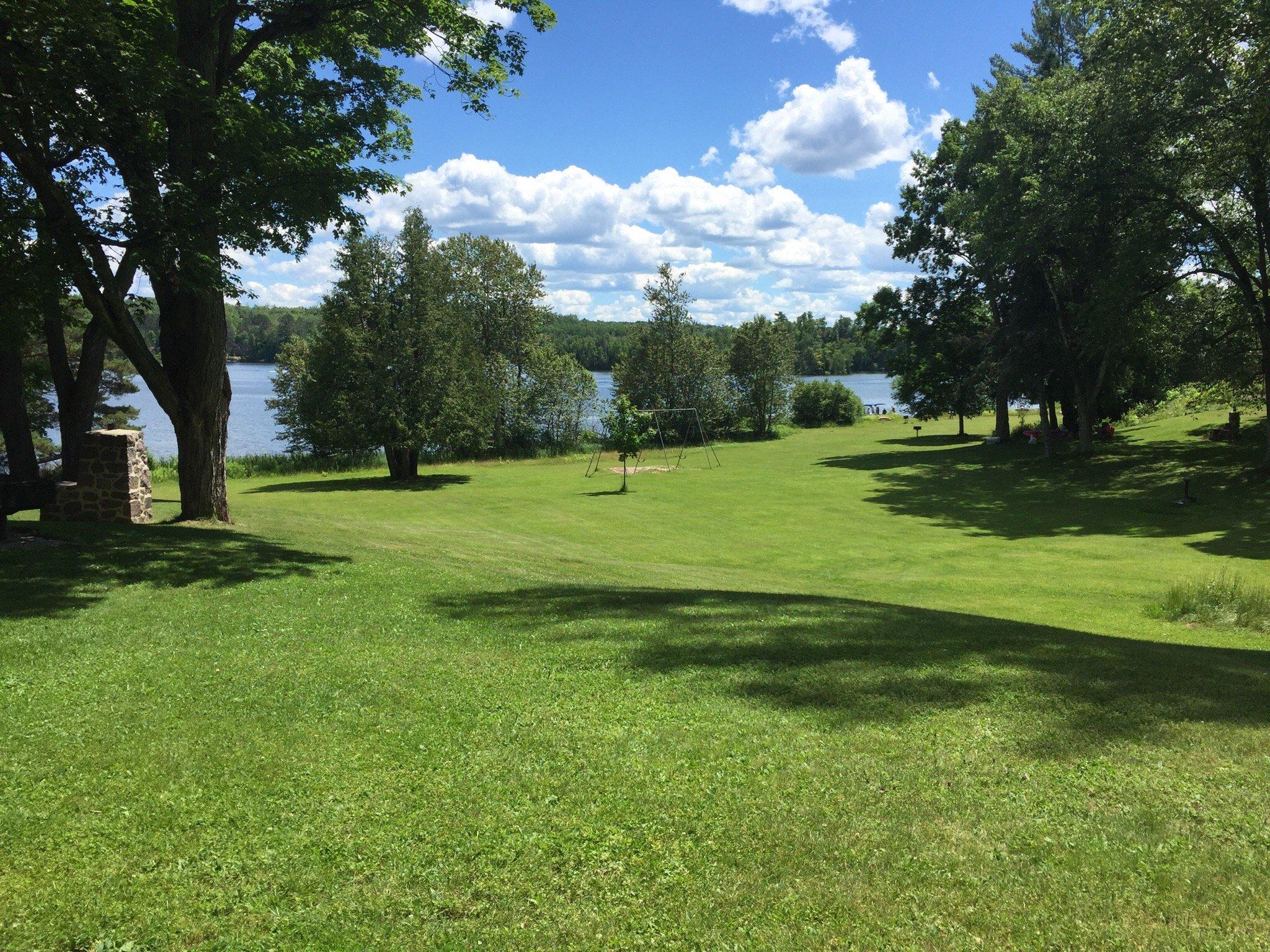
Amasa, located in the Upper Peninsula of Michigan, is a small unincorporated community known for its rich history in the iron mining industry. Established in the late 19th century, Amasa played a significant role during the mining boom, contributing to the region's economic growth. Today, it is recognized for its historical charm and natural beauty, drawing visitors who are interested in exploring its past and enjoying outdoor activities.
Popular attractions in Amasa include the Iron County Historical Museum, which provides insights into the area's mining heritage and local culture. For those who appreciate the outdoors, the nearby Ottawa National Forest offers a plethora of recreational opportunities such as hiking, fishing, and wildlife viewing. The scenic beauty of the forest, coupled with the serene atmosphere of Amasa, makes it a peaceful retreat for nature enthusiasts and history buffs alike.
Nearby cities include: Hematite, MI, Crystal Falls, MI, Mansfield, MI, Iron River, MI, Stambaugh, MI, Alpha, MI, Gaastra, MI, Caspian, MI, Iron River, MI, Stambaugh, MI.
Places in Amasa
Dine and drink
Eat and drink your way through town.
Can't-miss activities
Culture, natural beauty, and plain old fun.
Places to stay
Hang your (vacation) hat in a place that’s just your style.
Advertisement


