


Whittemore, MI
Advertisement
Whittemore, MI Map
Whittemore is a US city in Iosco County in the state of Michigan. Located at the longitude and latitude of -83.803040, 44.233630 and situated at an elevation of 237 meters. In the 2020 United States Census, Whittemore, MI had a population of 414 people. Whittemore is in the Eastern Standard Time timezone at Coordinated Universal Time (UTC) -5. Find directions to Whittemore, MI, browse local businesses, landmarks, get current traffic estimates, road conditions, and more.
Whittemore, located in Michigan, is a quaint and small city that embodies the charm of rural America. Known for its tight-knit community and serene landscapes, it provides a peaceful retreat from the bustling urban life. The city is home to several parks and recreational areas, making it an ideal spot for outdoor enthusiasts. Among the popular places in Whittemore is the Whittemore Speedway, a local highlight that attracts racing fans with its exciting events throughout the racing season. The city's history is deeply rooted in its agricultural past, and it continues to celebrate this heritage through local festivals and events that bring the community together.
Visitors to Whittemore can enjoy the local dining options that offer a taste of home-cooked meals and friendly service. The city’s history is reflected in its architecture and the stories shared by its long-time residents, providing a glimpse into the evolution of this charming locale. While it may not boast grand attractions, Whittemore’s appeal lies in its simplicity and the genuine warmth of its residents, making it a delightful stop for those exploring the heart of Michigan.
Nearby cities include: Burleigh, MI, Reno, MI, Sherman, MI, Turner, MI, Prescott, MI, Mason, MI, Twining, MI, Clayton, MI, Plainfield, MI, Omer, MI.
Places in Whittemore
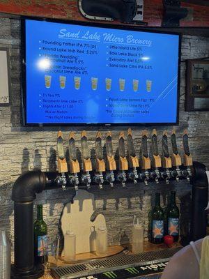
Dine and drink
Eat and drink your way through town.


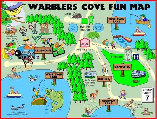
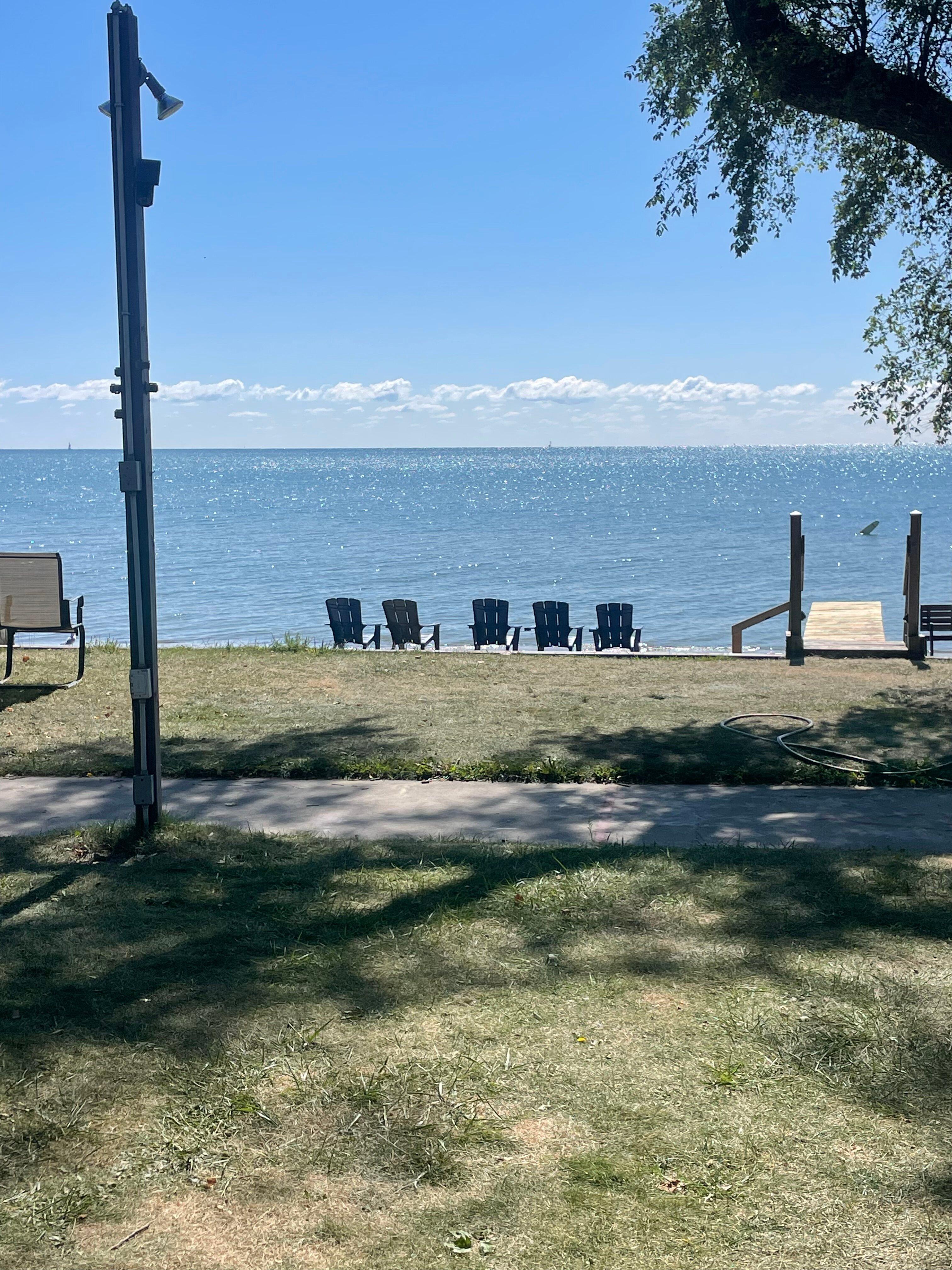
Can't-miss activities
Culture, natural beauty, and plain old fun.

Places to stay
Hang your (vacation) hat in a place that’s just your style.


Advertisement