Scottville, MI
Advertisement
Scottville, MI Map
Scottville is a US city in Mason County in the state of Michigan. Located at the longitude and latitude of -86.280080, 43.954730 and situated at an elevation of 211 meters. In the 2020 United States Census, Scottville, MI had a population of 1,356 people. Scottville is in the Eastern Standard Time timezone at Coordinated Universal Time (UTC) -5. Find directions to Scottville, MI, browse local businesses, landmarks, get current traffic estimates, road conditions, and more.
Scottville, Michigan, is a quaint city celebrated for its small-town charm and vibrant community spirit. Known for its annual Scottville Harvest Festival, the city draws visitors and residents alike to enjoy a variety of festivities, including parades, live music, and local food vendors. The heart of Scottville is its picturesque downtown area, where visitors can explore a selection of unique shops and eateries that reflect the city's welcoming atmosphere. The Scottville Clown Band, a beloved local institution, often performs during community events, adding a whimsical and joyful touch to the city's cultural tapestry.
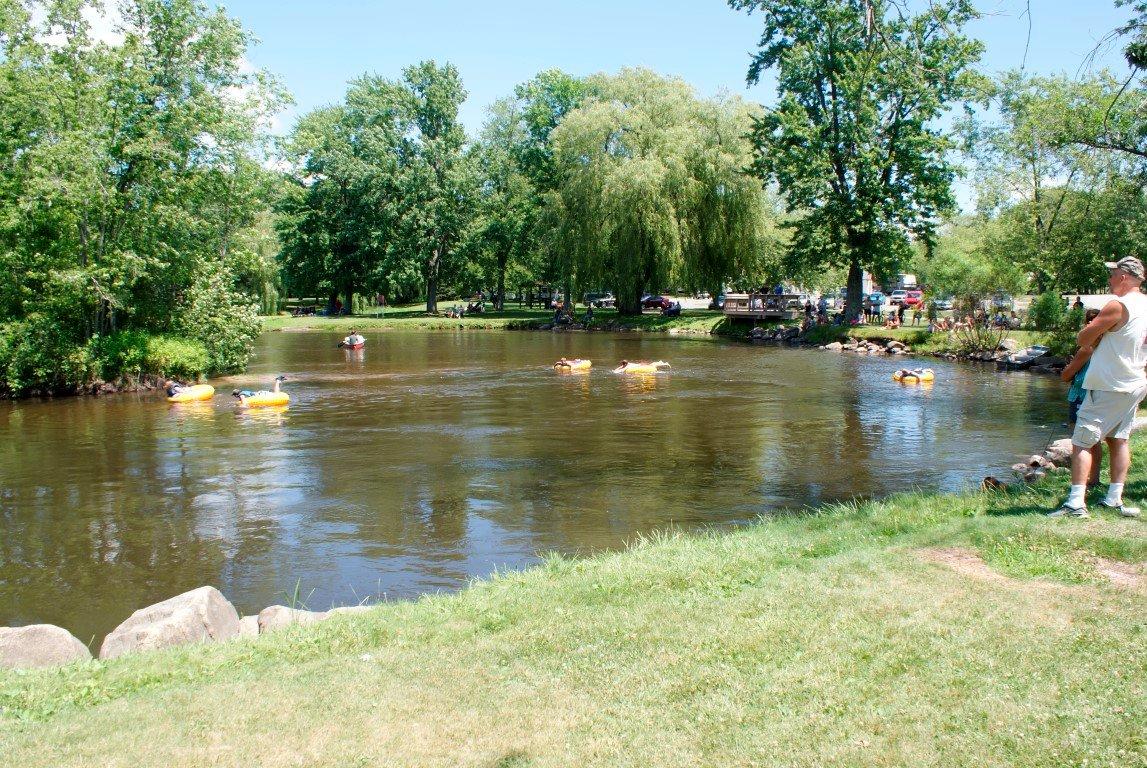
Historically, Scottville has roots dating back to the 19th century, with its development closely tied to the expansion of the railroad and lumber industries. For those interested in the city's past, the Mason County Historical Society provides insights into the area's rich history through various exhibits and archives. Additionally, Riverside Park offers a serene setting for outdoor enthusiasts, featuring walking trails, picnic areas, and access to the Pere Marquette River, making it a perfect spot for leisurely activities like fishing or kayaking. Overall, Scottville's combination of historical significance and community-centered attractions makes it a charming destination for travelers seeking a slice of Midwestern Americana.
Nearby cities include: Custer, MI, Custer, MI, Amber, MI, Riverton, MI, Eden, MI, Fountain, MI, Ludington, MI, Sheridan, MI, Summit, MI, Logan, MI.
Places in Scottville
Dine and drink
Eat and drink your way through town.
Can't-miss activities
Culture, natural beauty, and plain old fun.
Places to stay
Hang your (vacation) hat in a place that’s just your style.
Advertisement


