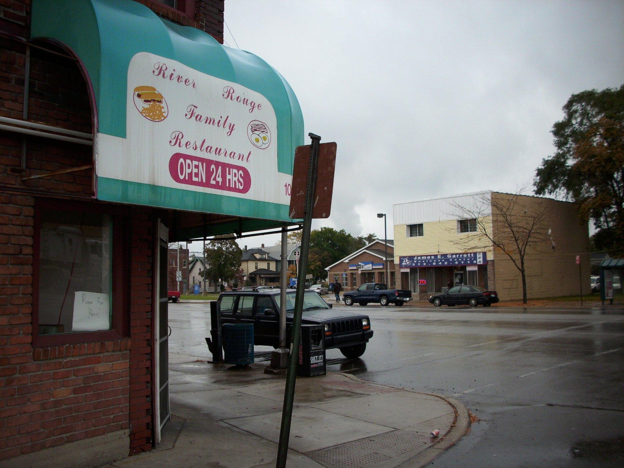
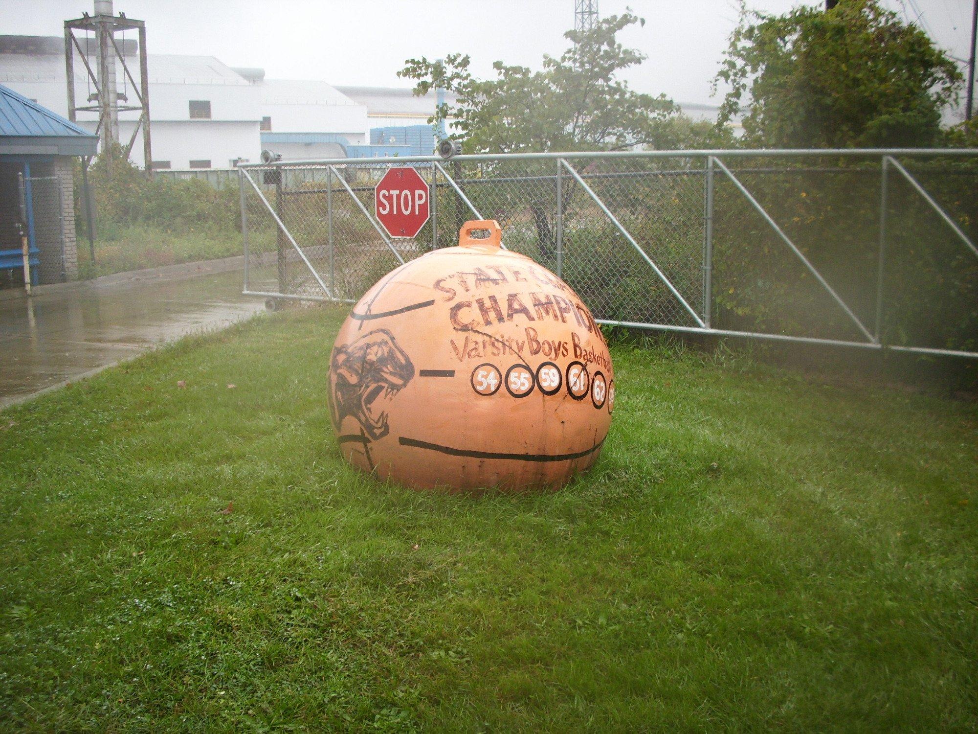
River Rouge, MI
Advertisement
River Rouge, MI Map
River Rouge is a US city in Wayne County in the state of Michigan. Located at the longitude and latitude of -83.134370, 42.273370 and situated at an elevation of 178 meters. In the 2020 United States Census, River Rouge, MI had a population of 7,224 people. River Rouge is in the Eastern Standard Time timezone at Coordinated Universal Time (UTC) -5. Find directions to River Rouge, MI, browse local businesses, landmarks, get current traffic estimates, road conditions, and more.
River Rouge, located in the state of Michigan, is a city with a rich industrial heritage and close ties to the automotive industry. Historically, River Rouge is known for its proximity to the Ford Rouge Complex, one of the largest integrated factory complexes in the world, which played a significant role in the growth of the American automotive industry. This industrial backdrop is a defining characteristic of the city, influencing its development and character over the years. The city's name is derived from the River Rouge, which flows through the area and has been central to its identity, providing both a natural resource and a transport route for industry.
Among the popular places to visit within River Rouge is Belanger Park, a waterfront park offering scenic views of the Detroit River and a peaceful environment for picnics, fishing, and leisurely walks. The park is a local favorite for its serene ambiance and the opportunity to observe freighters passing by. Additionally, River Rouge is home to several historical sites and community landmarks that reflect its industrial past and the hard-working spirit of its residents. The city continues to evolve, balancing its historical roots with modern developments, making it an interesting spot for those intrigued by industrial history and community resilience.
Nearby cities include: Ecorse, MI, Melvindale, MI, Lincoln Park, MI, Allen Park, MI, Wyandotte, MI, Dearborn, MI, Southgate, MI, Detroit, MI, Taylor, MI, Riverview, MI.
Places in River Rouge
Dine and drink
Eat and drink your way through town.
Places to stay
Hang your (vacation) hat in a place that’s just your style.
Advertisement


