Negaunee, MI
Advertisement
Negaunee, MI Map
Negaunee is a US city in Marquette County in the state of Michigan. Located at the longitude and latitude of -87.611800, 46.499100 and situated at an elevation of 418 meters. In the 2020 United States Census, Negaunee, MI had a population of 4,627 people. Negaunee is in the Eastern Standard Time timezone at Coordinated Universal Time (UTC) -5. Find directions to Negaunee, MI, browse local businesses, landmarks, get current traffic estimates, road conditions, and more.
Negaunee, located in Michigan's Upper Peninsula, is a city steeped in a rich mining heritage. Known primarily for its historical significance in the iron ore industry, Negaunee played a crucial role during the mining boom in the 19th and early 20th centuries. This legacy is preserved at the Michigan Iron Industry Museum, located nearby, which offers insights into the region's industrial past. The city is also famous for its connection to the annual Negaunee Pioneer Days, a celebration that honors the community's history with parades, fireworks, and various local events.
Visitors to Negaunee can enjoy the natural beauty of the surrounding landscapes, particularly at Teal Lake, a popular spot for fishing, kayaking, and picnicking. For those interested in outdoor recreation, the Iron Ore Heritage Trail provides a scenic route for biking, hiking, and snowmobiling, capturing the essence of the area's rugged terrain and historical significance. The downtown area, with its charming small-town atmosphere, offers a glimpse into the city's past with its quaint shops and eateries, making Negaunee a compelling destination for history enthusiasts and nature lovers alike.
Nearby cities include: Ishpeming, MI, Negaunee, MI, Palmer, MI, Tilden, MI, Ely, MI, Marquette, MI, K. I. Sawyer Air Force Base, MI, West Branch, MI, Gwinn, MI, Republic, MI.
Places in Negaunee
Dine and drink
Eat and drink your way through town.
Can't-miss activities
Culture, natural beauty, and plain old fun.
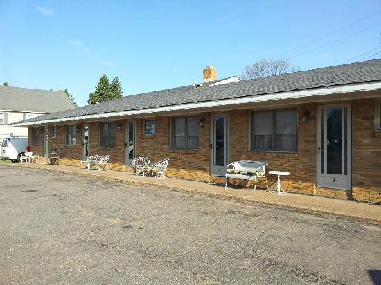
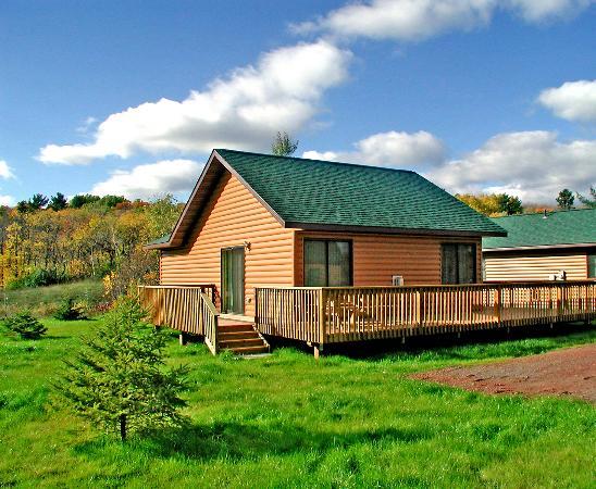
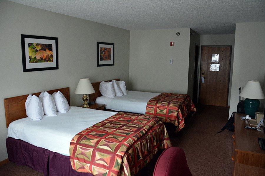
Places to stay
Hang your (vacation) hat in a place that’s just your style.
Advertisement


