Kalkaska, MI
Advertisement
Kalkaska, MI Map
Kalkaska is a US city in Kalkaska County in the state of Michigan. Located at the longitude and latitude of -85.175890, 44.734170 and situated at an elevation of 315 meters. In the 2020 United States Census, Kalkaska, MI had a population of 2,132 people. Kalkaska is in the Eastern Standard Time timezone at Coordinated Universal Time (UTC) -5. Find directions to Kalkaska, MI, browse local businesses, landmarks, get current traffic estimates, road conditions, and more.
Kalkaska, located in the heart of Michigan, is a charming destination known for its natural beauty and outdoor recreational opportunities. The city is particularly famous for the National Trout Festival, a beloved annual event that celebrates the area's rich fishing heritage. Nature enthusiasts flock to Kalkaska for its numerous trails and waterways, including the serene Kalkaska River, which offers excellent opportunities for fishing, kayaking, and canoeing. The surrounding forests and parks provide ideal settings for hiking, biking, and snowmobiling during the winter months.
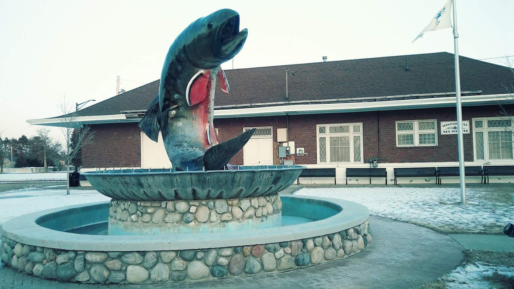
In addition to its outdoor attractions, Kalkaska boasts several local landmarks and points of interest. The Kalkaska County Historical Museum offers a glimpse into the area's past, showcasing artifacts and exhibits related to the region's history and culture. The iconic Trout Monument, located in the heart of the city, serves as a testament to Kalkaska's fishing legacy. Visitors can also explore the unique shops and eateries in the downtown area, offering a taste of local flavors and crafts. Overall, Kalkaska presents a quaint yet vibrant atmosphere, making it a delightful destination for those seeking both relaxation and adventure in a picturesque setting.
Nearby cities include: Rapid River, MI, Clearwater, MI, Boardman, MI, South Boardman, MI, Rapid City, MI, Oliver, MI, Alden, MI, Union, MI, Mancelona, MI, Springfield, MI.
Places in Kalkaska
Dine and drink
Eat and drink your way through town.
Can't-miss activities
Culture, natural beauty, and plain old fun.
Places to stay
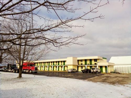
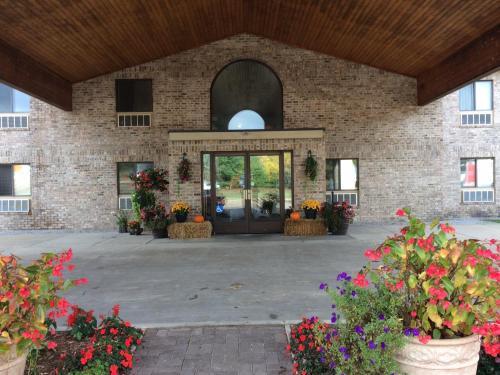
Hang your (vacation) hat in a place that’s just your style.
Advertisement


