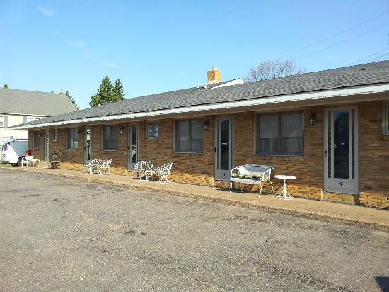
Ishpeming, MI
Advertisement
Ishpeming, MI Map
Ishpeming is a US city in Marquette County in the state of Michigan. Located at the longitude and latitude of -87.667640, 46.488550 and situated at an elevation of 429 meters. In the 2020 United States Census, Ishpeming, MI had a population of 6,140 people. Ishpeming is in the Eastern Standard Time timezone at Coordinated Universal Time (UTC) -5. Find directions to Ishpeming, MI, browse local businesses, landmarks, get current traffic estimates, road conditions, and more.
Ishpeming, located in Michigan's Upper Peninsula, is a city steeped in a rich mining heritage. Known primarily for its pivotal role in the iron ore industry, Ishpeming is often celebrated as the birthplace of organized skiing in the United States. This historical significance is commemorated at the U.S. National Ski and Snowboard Hall of Fame and Museum, a must-visit for enthusiasts of winter sports. The museum offers a comprehensive insight into the sport's history and its legendary figures. The city's mining legacy is further explored at the Cliffs Shaft Mine Museum, where visitors can delve into the area's iron mining past through exhibits and guided tours.
Surrounded by the natural beauty of the Upper Peninsula, Ishpeming is a haven for outdoor lovers. The city provides access to numerous trails, including the Iron Ore Heritage Trail, which is perfect for hiking and biking while offering scenic views and historical markers. Another popular site is the Al Quaal Recreation Area, which provides year-round recreational opportunities from cross-country skiing and snowshoeing in the winter to hiking and disc golf in the warmer months. Ishpeming's charming downtown area features a collection of local shops and eateries that reflect the city's welcoming community spirit and commitment to preserving its rich history and natural surroundings.
Nearby cities include: Negaunee, MI, Palmer, MI, Tilden, MI, Negaunee, MI, Ely, MI, Marquette, MI, Republic, MI, K. I. Sawyer Air Force Base, MI, Gwinn, MI, West Branch, MI.
Places in Ishpeming
Dine and drink
Eat and drink your way through town.
Can't-miss activities
Culture, natural beauty, and plain old fun.
Places to stay
Hang your (vacation) hat in a place that’s just your style.
Advertisement


