Hemlock, MI
Advertisement
Hemlock, MI Map
Hemlock is a US city in Saginaw County in the state of Michigan. Located at the longitude and latitude of -84.230556, 43.414722 and situated at an elevation of 198 meters. In the 2020 United States Census, Hemlock, MI had a population of 1,408 people. Hemlock is in the Eastern Standard Time timezone at Coordinated Universal Time (UTC) -5. Find directions to Hemlock, MI, browse local businesses, landmarks, get current traffic estimates, road conditions, and more.
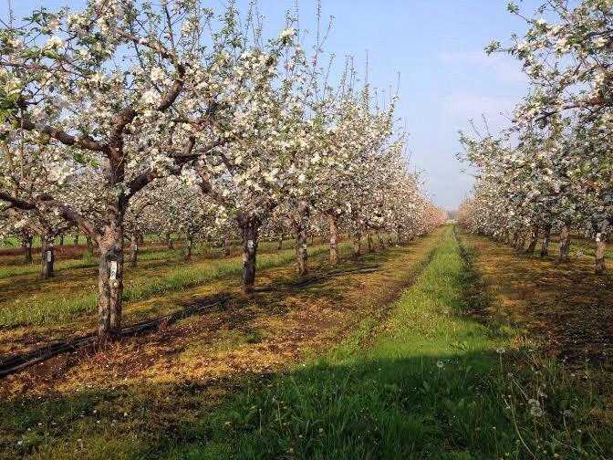
Hemlock, Michigan, is a small community that offers a quintessential slice of Midwestern charm. Known for its rich agricultural heritage and friendly atmosphere, Hemlock serves as a serene escape from the hustle and bustle of larger cities. The area is particularly celebrated for its vibrant local festivals and community events that highlight its rural roots and close-knit spirit. Visitors often enjoy exploring the scenic landscapes that surround the town, which are particularly stunning during the fall when the foliage transforms into a tapestry of warm colors.
A visit to Hemlock would not be complete without stopping by some of its popular local spots. The Hemlock Farmers Market is a must-visit, offering locally grown produce and handmade goods that reflect the area’s agricultural prowess. Additionally, the town's parks provide perfect settings for picnics and leisurely walks. While Hemlock may not boast grand historical landmarks, it carries a rich narrative of growth and community resilience that is evident in its well-preserved historical buildings and the local museum that pays homage to its past. The town’s welcoming nature and picturesque surroundings make it a quaint yet captivating destination.
Nearby cities include: Merrill, MI, Lakefield, MI, Ingersoll, MI, Mount Haley, MI, Freeland, MI, Brant, MI, Wheeler, MI, Lafayette, MI, Breckenridge, MI, Midland, MI.
Places in Hemlock
Dine and drink
Eat and drink your way through town.
Can't-miss activities
Culture, natural beauty, and plain old fun.
Places to stay
Hang your (vacation) hat in a place that’s just your style.
Advertisement


