Grayling, MI
Advertisement
Grayling, MI Map
Grayling is a US city in Crawford County in the state of Michigan. Located at the longitude and latitude of -84.714750, 44.661400 and situated at an elevation of 347 meters. In the 2020 United States Census, Grayling, MI had a population of 1,867 people. Grayling is in the Eastern Standard Time timezone at Coordinated Universal Time (UTC) -5. Find directions to Grayling, MI, browse local businesses, landmarks, get current traffic estimates, road conditions, and more.
Grayling, Michigan, is often celebrated as a haven for outdoor enthusiasts and is renowned for its connection to the natural beauty of the northern Lower Peninsula. The city is known for its proximity to the AuSable River, which is famous for fly fishing and canoeing. The AuSable River Festival and the AuSable River Canoe Marathon are significant annual events that attract visitors from far and wide, showcasing the city’s deep connection to its waterways. Additionally, Grayling is home to the Hartwick Pines State Park, one of the largest state parks in Michigan, where visitors can explore towering old-growth pine forests and learn about the region's logging history at the Logging Museum.
The city's history is deeply intertwined with the lumber industry, which was a significant economic driver in the late 19th and early 20th centuries. Today, Grayling's historic downtown area offers a glimpse into its past, with several preserved buildings that house local businesses and eateries. The city also serves as a gateway to the great outdoors, with numerous trails and opportunities for hunting, camping, and winter sports in the surrounding areas. Grayling's blend of historical charm and natural splendor makes it a unique destination for those looking to explore Michigan's rich heritage and scenic landscapes.
Nearby cities include: Frederic, MI, Roscommon, MI, Oliver, MI, Norwich, MI, Au Sable, MI, Chester, MI, Mancelona, MI, Bagley, MI, Kalkaska, MI, Mancelona, MI.
Places in Grayling
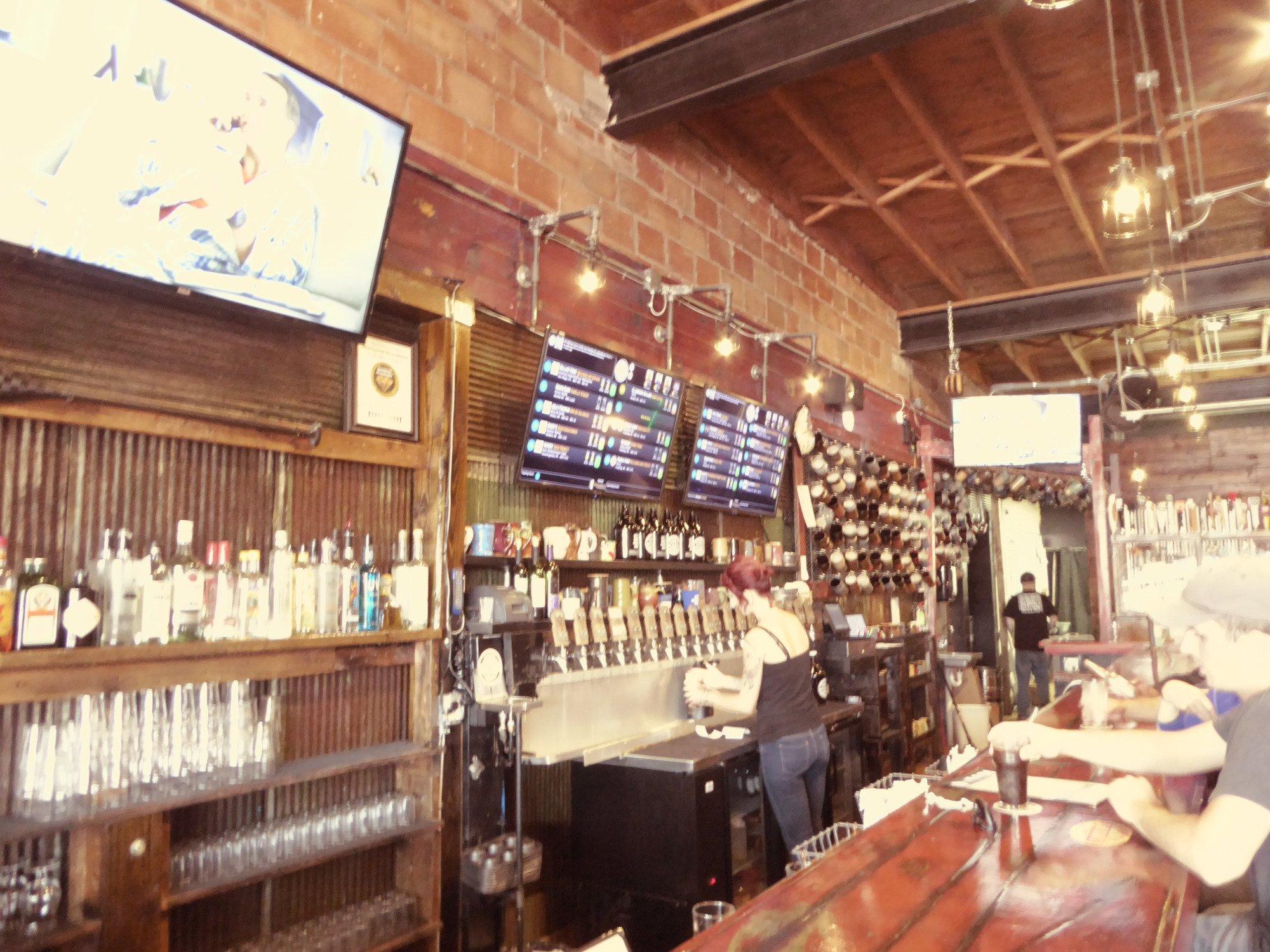
Dine and drink
Eat and drink your way through town.
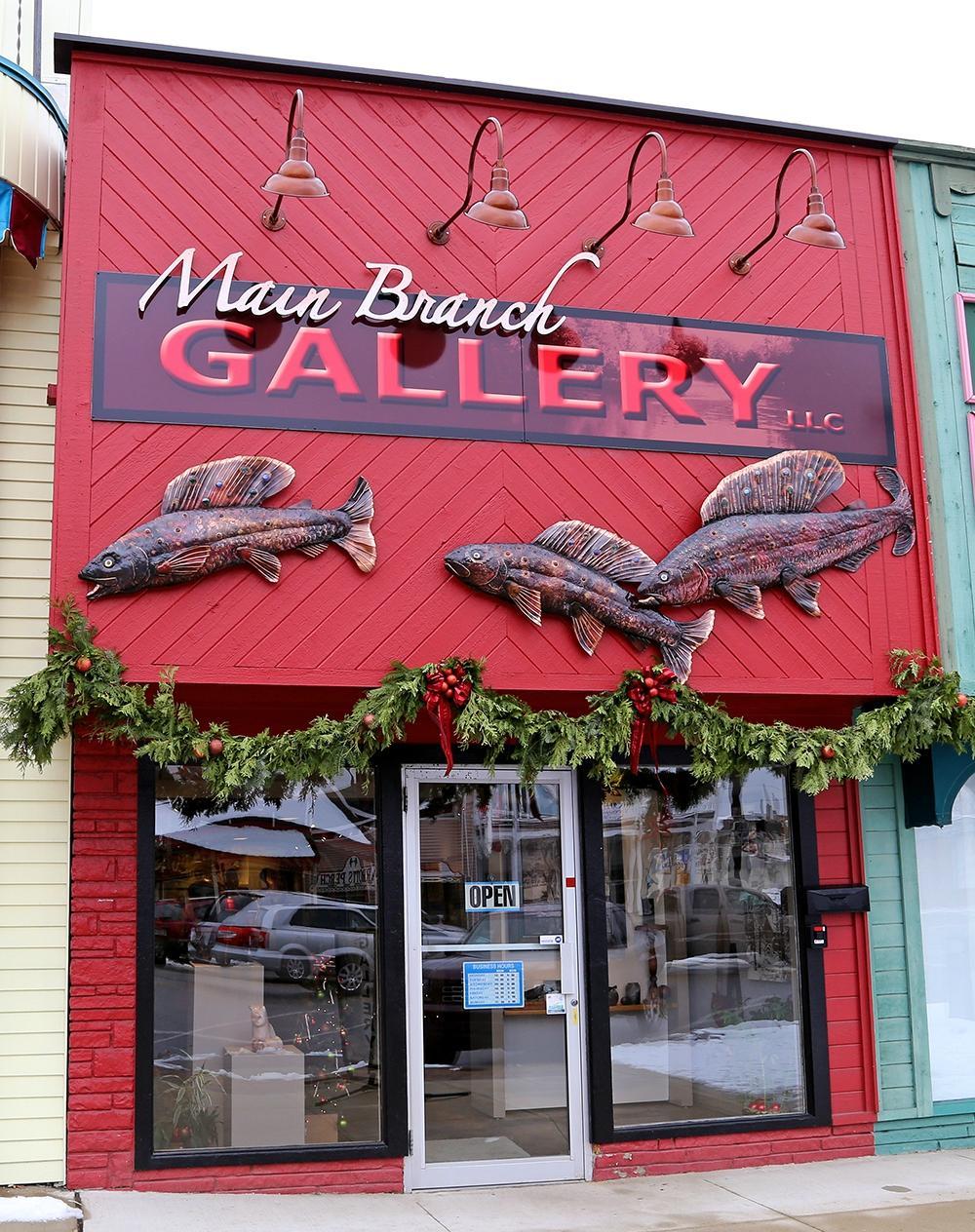
Can't-miss activities
Culture, natural beauty, and plain old fun.
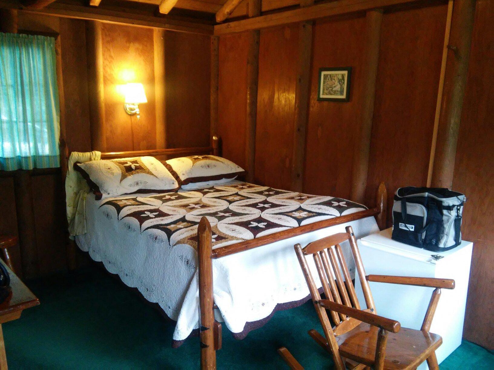
Places to stay
Hang your (vacation) hat in a place that’s just your style.
Advertisement


