Dowagiac, MI
Advertisement
Dowagiac, MI Map
Dowagiac is a US city in Cass County in the state of Michigan. Located at the longitude and latitude of -86.108620, 41.984210 and situated at an elevation of 232 meters. In the 2020 United States Census, Dowagiac, MI had a population of 5,721 people. Dowagiac is in the Eastern Standard Time timezone at Coordinated Universal Time (UTC) -5. Find directions to Dowagiac, MI, browse local businesses, landmarks, get current traffic estimates, road conditions, and more.
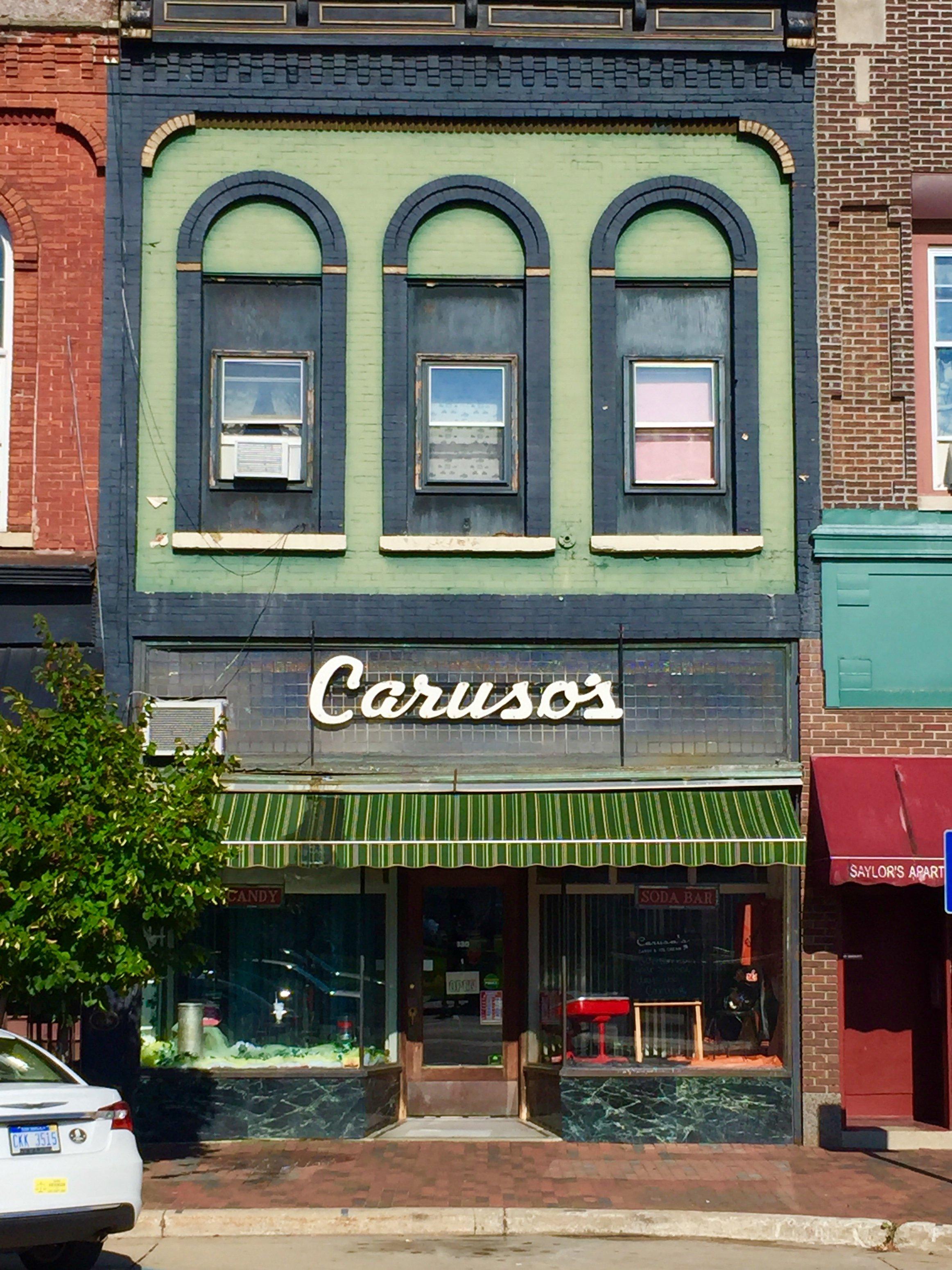
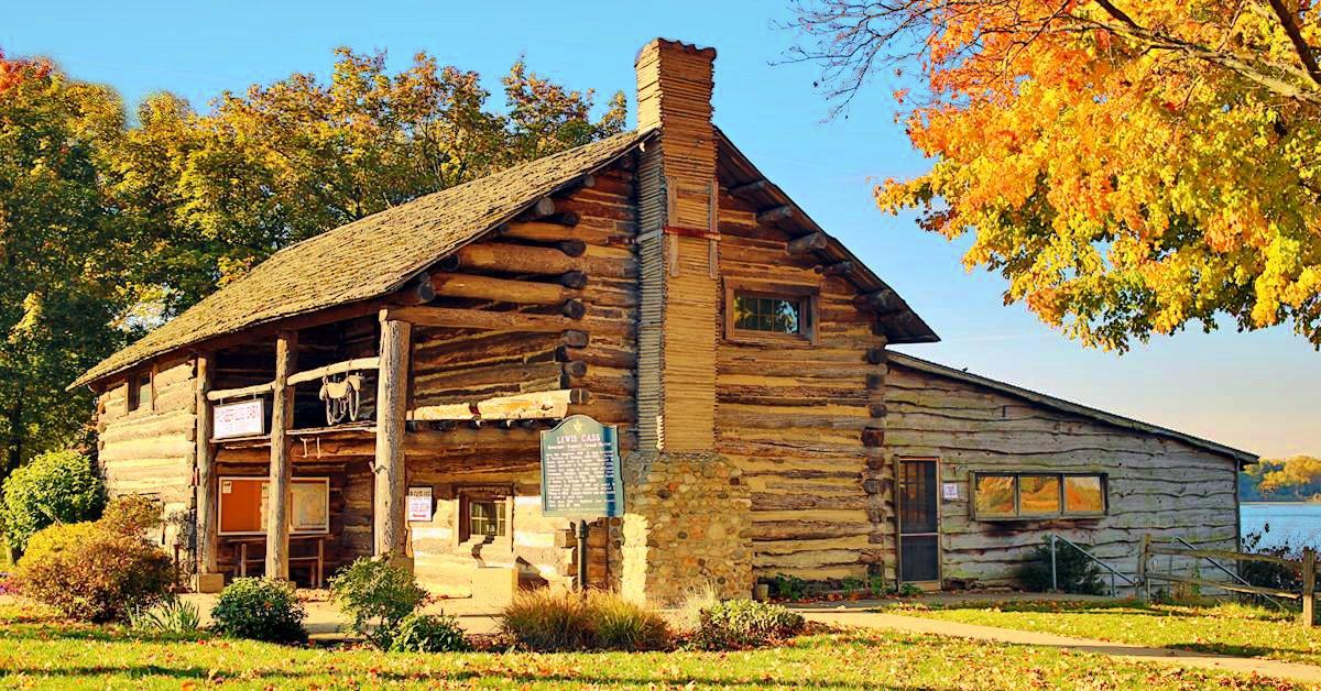
Dowagiac, located in the southwestern part of Michigan, is steeped in rich history and small-town charm. Known for its vibrant arts scene, the city hosts the annual Dogwood Fine Arts Festival, which celebrates literature, music, and visual arts, drawing visitors from across the region. The city's history is palpable in its well-preserved architecture, with the Beckwith Theatre Company being a notable landmark, offering a variety of theatrical performances throughout the year. Dowagiac's roots can be traced back to its founding in the 1840s, and it has managed to retain a sense of historical continuity while embracing modernity.
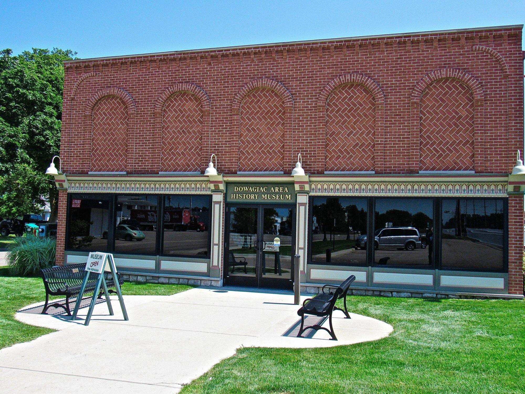
Visitors to Dowagiac can explore the Dowagiac Area History Museum, which showcases exhibits on local heritage and the Potawatomi tribe, whose influence is still evident in the area today. For outdoor enthusiasts, the Russom Park offers sprawling green spaces and walking trails, perfect for a leisurely day out. Additionally, the downtown area is dotted with unique shops and eateries, providing a quintessential small-town shopping experience. Whether you're interested in history, culture, or simply a peaceful retreat, Dowagiac offers a little something for everyone.
Nearby cities include: Silver Creek, MI, LaGrange, MI, Cassopolis, MI, Jefferson, MI, Eau Claire, MI, Pipestone, MI, Decatur, MI, Vandalia, MI, Berrien Springs, MI, Bainbridge, MI.
Places in Dowagiac
Dine and drink
Eat and drink your way through town.
Can't-miss activities
Culture, natural beauty, and plain old fun.
Places to stay
Hang your (vacation) hat in a place that’s just your style.
Advertisement


