Cheboygan, MI
Advertisement
Cheboygan, MI Map
Cheboygan is a US city in Cheboygan County in the state of Michigan. Located at the longitude and latitude of -84.474480, 45.646960 and situated at an elevation of 180 meters. In the 2020 United States Census, Cheboygan, MI had a population of 4,770 people. Cheboygan is in the Eastern Standard Time timezone at Coordinated Universal Time (UTC) -5. Find directions to Cheboygan, MI, browse local businesses, landmarks, get current traffic estimates, road conditions, and more.
Cheboygan, located in the northern reaches of Michigan's Lower Peninsula, is a city that offers a charming blend of natural beauty and historical intrigue. Known for its prime location along the shores of Lake Huron, it serves as a gateway to the famous Inland Waterway, a 38-mile chain of rivers and lakes perfect for boating enthusiasts. Cheboygan is also home to the Cheboygan State Park, where visitors can explore trails, enjoy birdwatching, or relax on the sandy beaches with views of the historic Fourteen Foot Shoal Light. The city's maritime history is celebrated at the Cheboygan County Historical Museum Complex, which houses artifacts and exhibits that highlight the area's rich past.
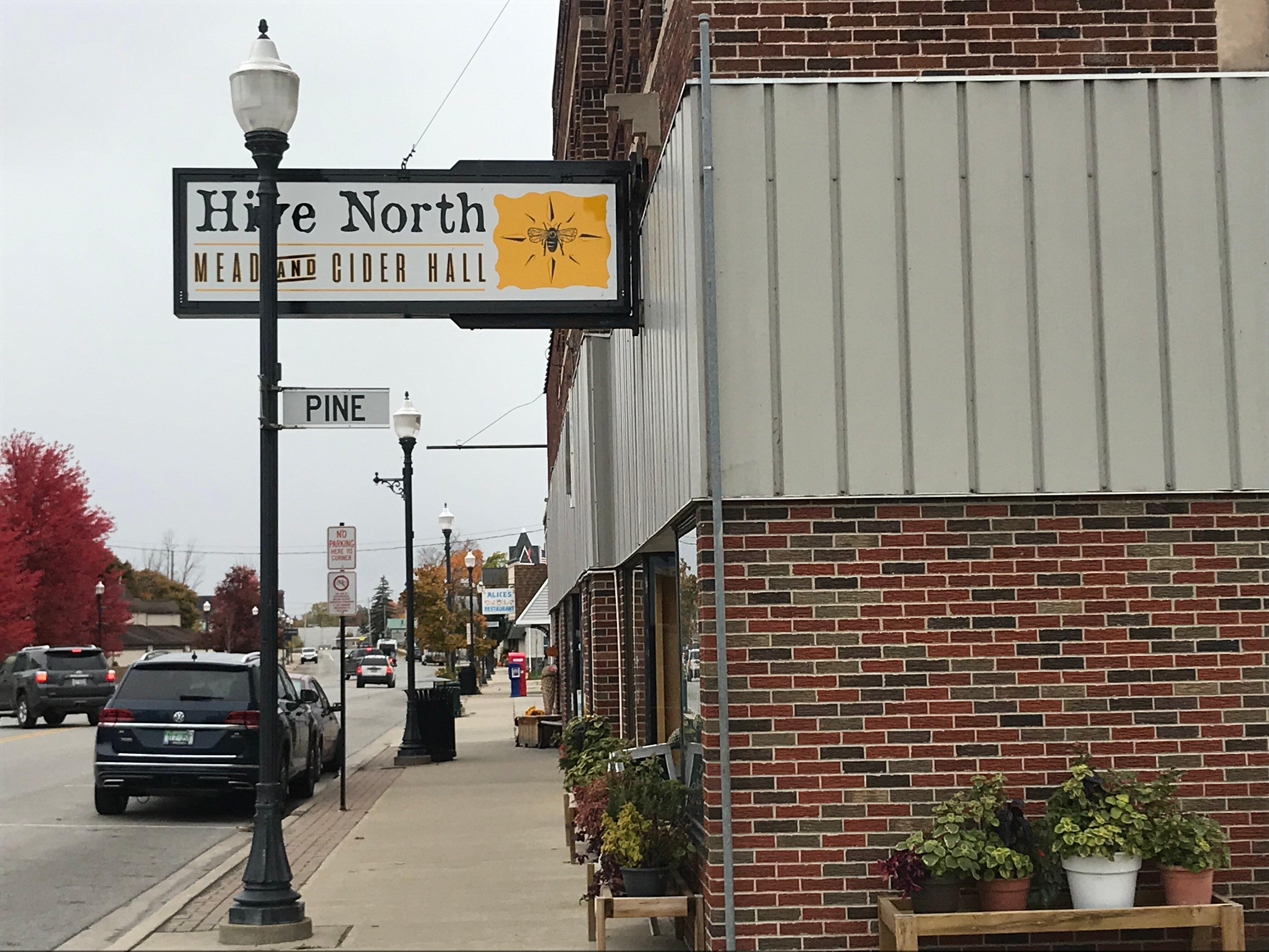
A key historical landmark in Cheboygan is the Opera House, a beautifully restored 19th-century theater that hosts a variety of performances throughout the year, maintaining its status as a cultural hub. The city’s downtown area features a selection of quaint shops and local eateries, offering a taste of the region's hospitality and charm. With its picturesque landscapes and deep-rooted history, Cheboygan provides a compelling destination for those looking to experience the tranquil yet vibrant atmosphere of northern Michigan.
Nearby cities include: Beaugrand, MI, Benton, MI, Inverness, MI, Bois Blanc, MI, Hebron, MI, Mullett, MI, Munro, MI, Grant, MI, Burt, MI, Mackinaw, MI.
Places in Cheboygan
Dine and drink
Eat and drink your way through town.
Can't-miss activities
Culture, natural beauty, and plain old fun.
Places to stay
Hang your (vacation) hat in a place that’s just your style.
Advertisement


