


Charlotte, MI
Advertisement
Charlotte Map
Charlotte is a city in the U.S. state of Michigan. As of the 2000 census, the city population was 8,389. It is the county seat of Eaton County.
Charlotte is in the central portion of the county, on the boundary between Eaton Township and Carmel Township, though politically independent of both. Interstate 69 serves the city, and connects it to the state capital of Lansing. It is located 21.5 miles (34.6 kilometers) from downtown Lansing.
According to the book "Michigan Place Names" by Walter Romig, the area that would become Charlotte was owned by the U.S. Government until 1832 when George Barnes purchased the land. Barnes in turn sold the land to Edmond B. Bostwick, a land speculator from New York City three years later in 1835. Bostwick then sold a portion of the land to H.I. Lawrence, Townsend Harris and Francis Cochran. These four men can be credited for developing the village which they named after Bostwick's wife, Charlotte. Jonathan Searles became the first postmaster on March 17, 1838.
Nearby cities include Vermontville, Dimondale, Bellevue, Nashville, Mulliken.
Places in Charlotte
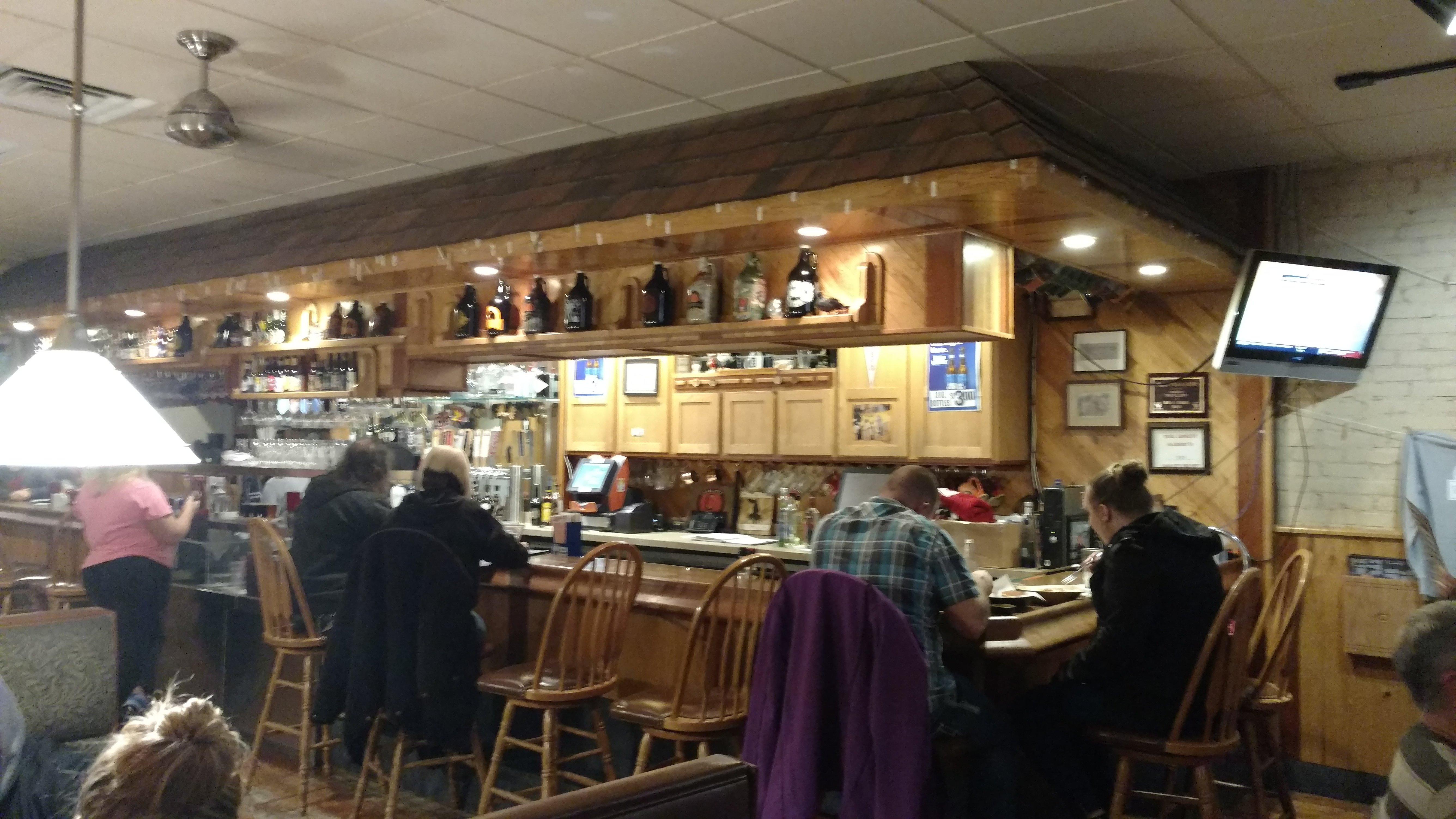
Dine and drink
Eat and drink your way through town.


Can't-miss activities
Culture, natural beauty, and plain old fun.


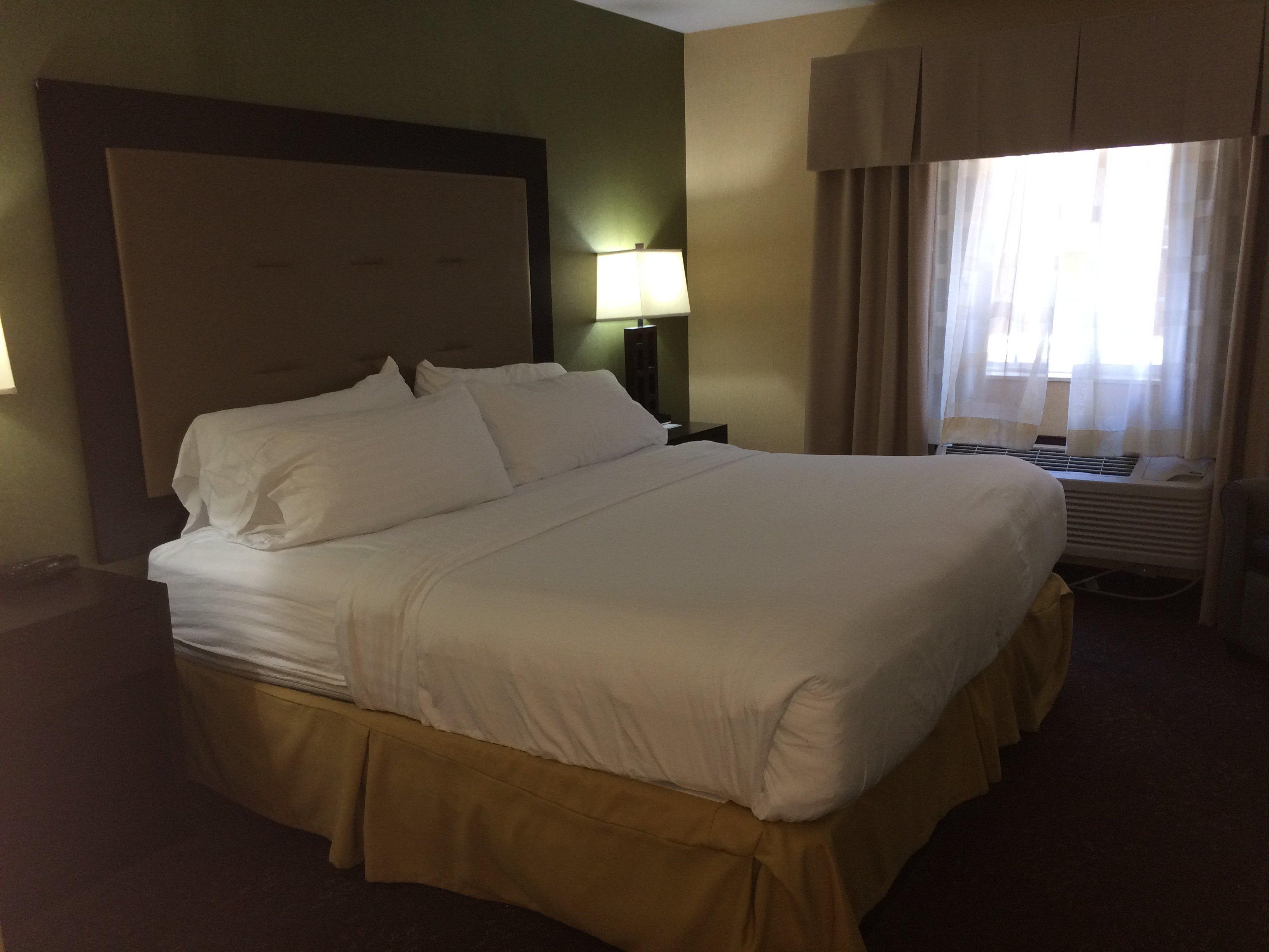
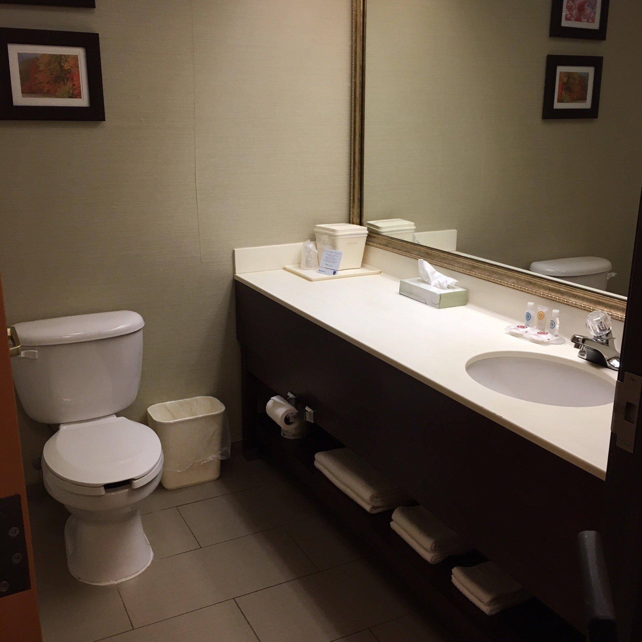
Places to stay
Hang your (vacation) hat in a place that’s just your style.


Advertisement