Wiscasset, ME
Advertisement
Wiscasset, ME Map
Wiscasset is a US city in Lincoln County in the state of Maine. Located at the longitude and latitude of -69.665864, 44.002808 and situated at an elevation of 58 meters. In the 2020 United States Census, Wiscasset, ME had a population of 3,742 people. Wiscasset is in the Eastern Standard Time timezone at Coordinated Universal Time (UTC) -5. Find directions to Wiscasset, ME, browse local businesses, landmarks, get current traffic estimates, road conditions, and more.
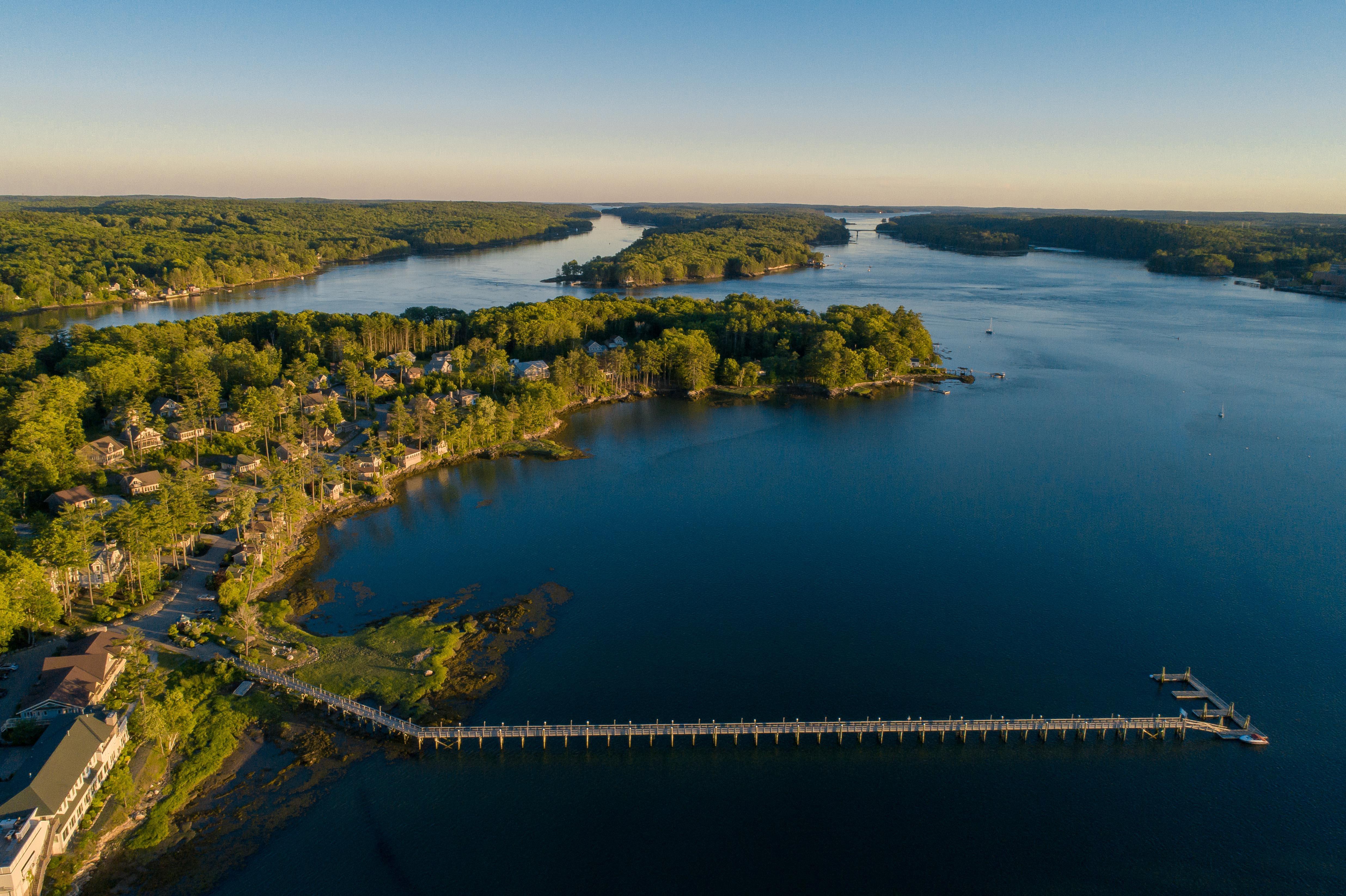
Wiscasset, often referred to as the "Prettiest Village in Maine," is a charming town known for its rich history and well-preserved 18th and 19th-century architecture. This coastal town boasts a picturesque harbor and is famous for its lobster shacks, particularly Red's Eats, a must-visit for seafood enthusiasts. Wiscasset's history is deeply rooted in its past as a bustling port and shipbuilding center in the 19th century, with many of its historic homes and buildings reflecting its prosperous maritime heritage.
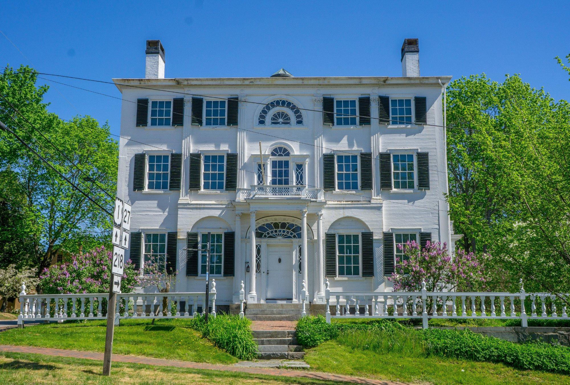
Visitors to Wiscasset can explore popular attractions such as the Nickels-Sortwell House, a stunning Federal-style mansion offering a glimpse into the opulent lifestyles of the early 1800s. The Castle Tucker, another historic site, provides a unique look at Victorian-era life with its original furnishings and panoramic views of the Sheepscot River. The town also draws art lovers to the Wiscasset Bay Gallery, which showcases a diverse collection of American and European paintings. With its blend of history, culture, and coastal charm, Wiscasset offers a quintessential New England experience.
Nearby cities include: Edgecomb, ME, Newcastle, ME, Damariscotta, ME, Westport Island, ME, Alna, ME, Bristol, ME, Boothbay, ME, Woolwich, ME, Bath, ME, Nobleboro, ME.
Places in Wiscasset
Dine and drink
Eat and drink your way through town.
Can't-miss activities
Culture, natural beauty, and plain old fun.
Places to stay
Hang your (vacation) hat in a place that’s just your style.
Advertisement


