Standish, ME
Advertisement
Standish Map
Standish is a town in Cumberland County, Maine, United States. The population was 9,874 at the 2010 census. It includes the villages of Standish Corner, Sebago Lake Village and Steep Falls, and the localities known as Richville, Standish Neck and Two Trails. Standish is part of the Portland-South Portland-Biddeford, Maine metropolitan statistical area.
This was once hunting and fishing territory of the Abenaki tribe whose main village was at Pequawket (now Fryeburg) up the Pequawket Trail (Route 113). In 1750, the Massachusetts General Court granted the township to Captain Moses Pearson and Captain Humphrey Hobbs, together with their respective companies, for services during the French and Indian Wars.
It was to be called Pearson and Hobbs Town, but Hobbs died and none of his company took possession. In 1752, the land was surveyed and divided into 30-acre (120,000 m2) lots, although some soldiers sold their rights for whatever they could get. Those that did settle found their cabins razed by Indians trying to drive them away. In response, the veterans built at Standish Corner a stockaded fort, which provided protection until Indian hostilities ceased in 1759 with the Fall of Quebec. Pearsontown Plantation was incorporated as Standish on November 30, 1785. The town is named in honor of Captain Myles Standish.
Nearby cities include Westbrook, Scarborough, South Portland, Gray, Portland.
Places in Standish
Dine and drink
Eat and drink your way through town.
Places to stay
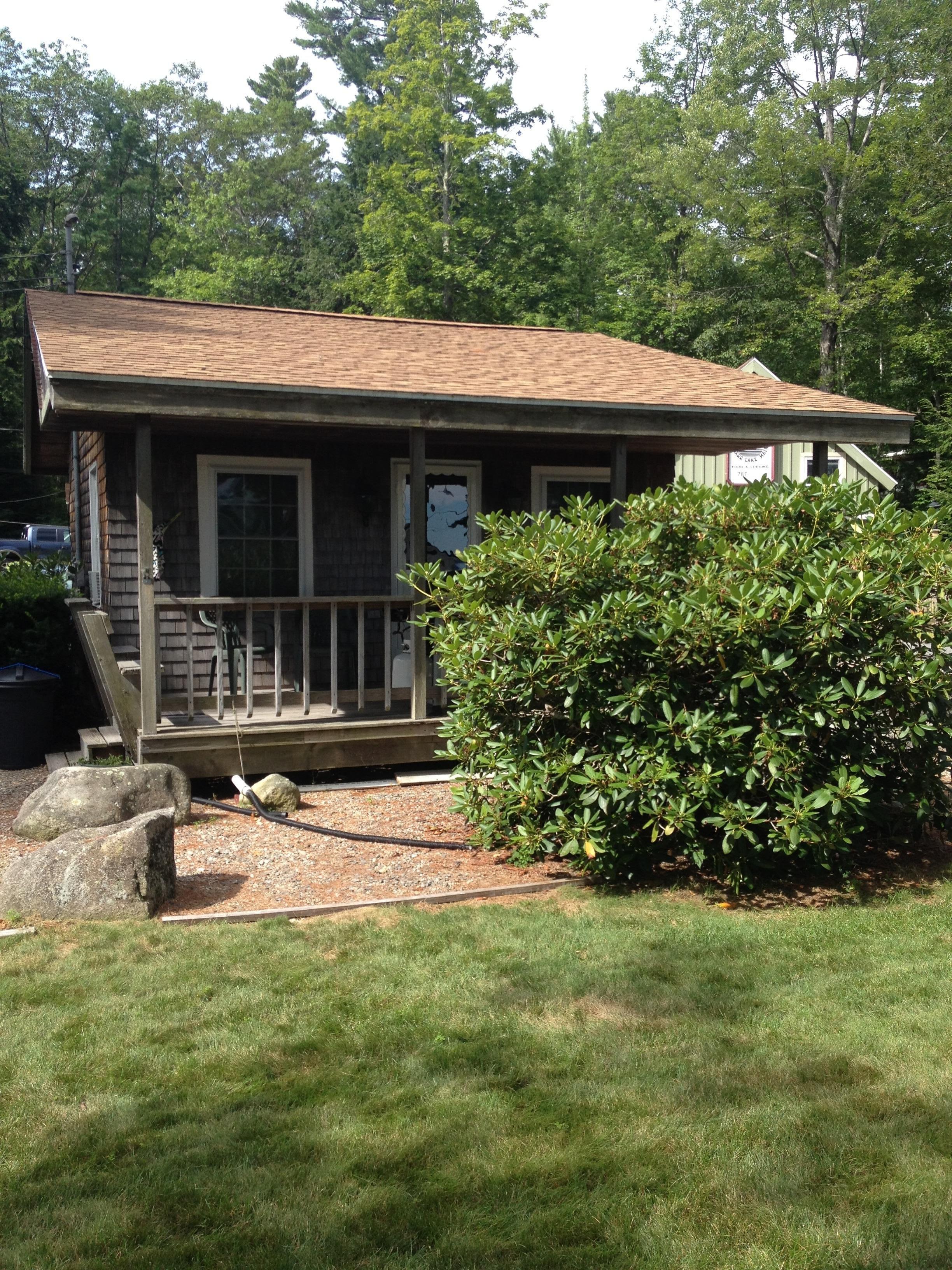
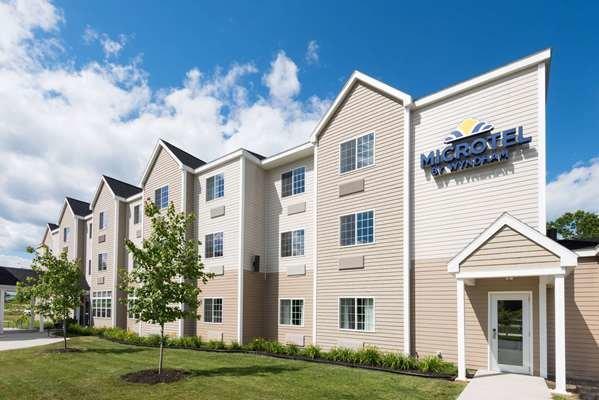
Hang your (vacation) hat in a place that’s just your style.
Advertisement


