Readfield, ME
Advertisement
Readfield, ME Map
Readfield is a US city in Kennebec County in the state of Maine. Located at the longitude and latitude of -69.966720, 44.387850 and situated at an elevation of 69 meters. In the 2020 United States Census, Readfield, ME had a population of 2,597 people. Readfield is in the Eastern Standard Time timezone at Coordinated Universal Time (UTC) -5. Find directions to Readfield, ME, browse local businesses, landmarks, get current traffic estimates, road conditions, and more.
Readfield, located in the state of Maine, is a charming town known for its picturesque landscapes and rich history. This New England town offers a quintessential rural experience with its scenic beauty and serene environment. One of the most notable historical landmarks is the Readfield Union Meeting House, a classic example of early 19th-century architecture that continues to be a focal point of the community. The town is also known for its outdoor recreational opportunities, with Maranacook Lake being a popular spot for boating, fishing, and swimming during the warmer months.
In addition to its natural attractions, Readfield is home to several trails and conservation areas, such as the Readfield Town Forest and the Torsey Pond Nature Preserve, which are ideal for hiking and exploring Maine's natural flora and fauna. The town's history dates back to the late 18th century, and it has maintained a strong sense of community and tradition over the years. Visitors and residents alike enjoy the blend of historical charm and natural beauty that makes Readfield a unique and inviting destination.
Nearby cities include: Fayette, ME, Winthrop, ME, Wayne, ME, Manchester, ME, Belgrade, ME, Mount Vernon, ME, Leeds, ME, Vienna, ME, Augusta, ME, Monmouth, ME.
Places in Readfield
Dine and drink
Eat and drink your way through town.
Can't-miss activities
Culture, natural beauty, and plain old fun.
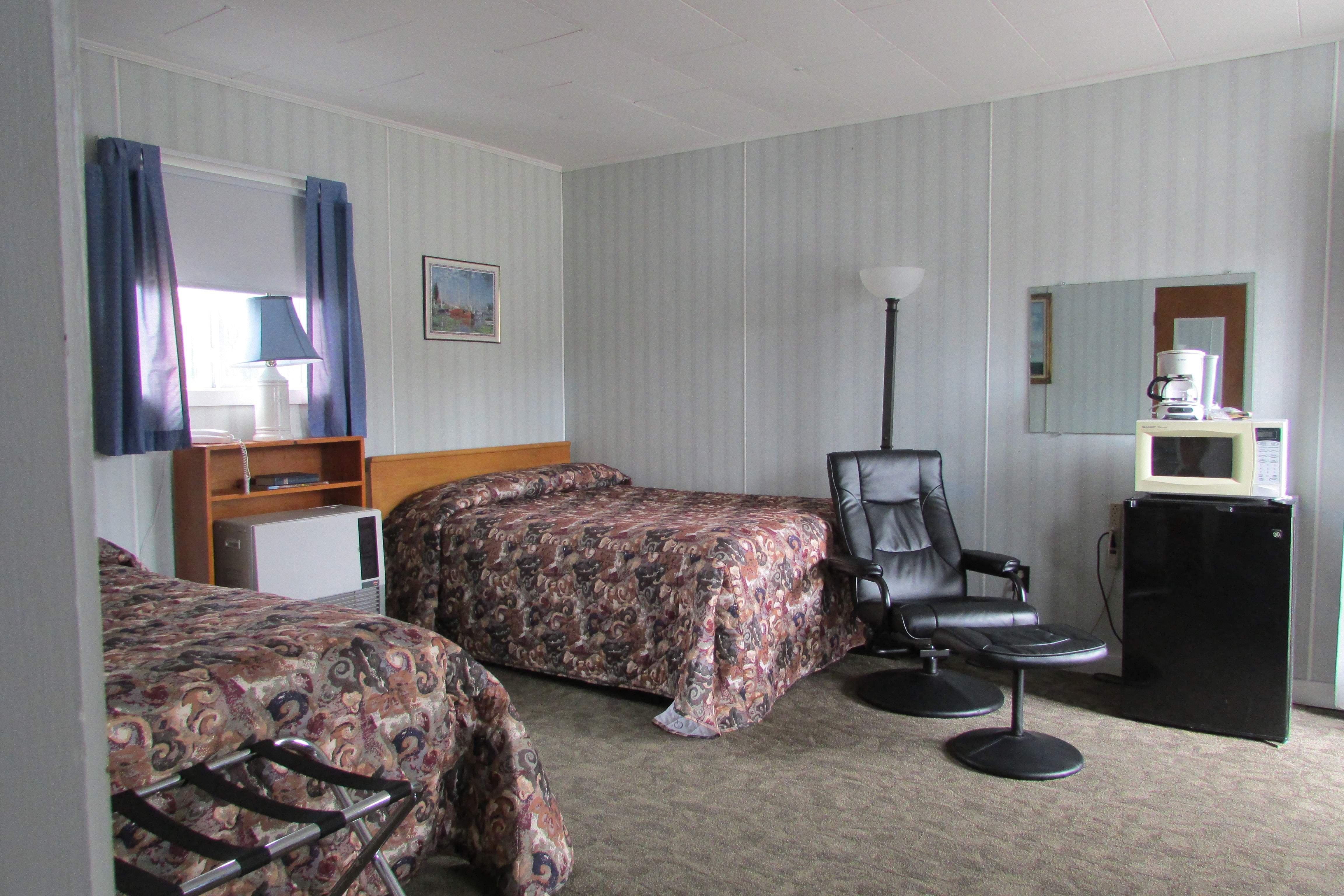
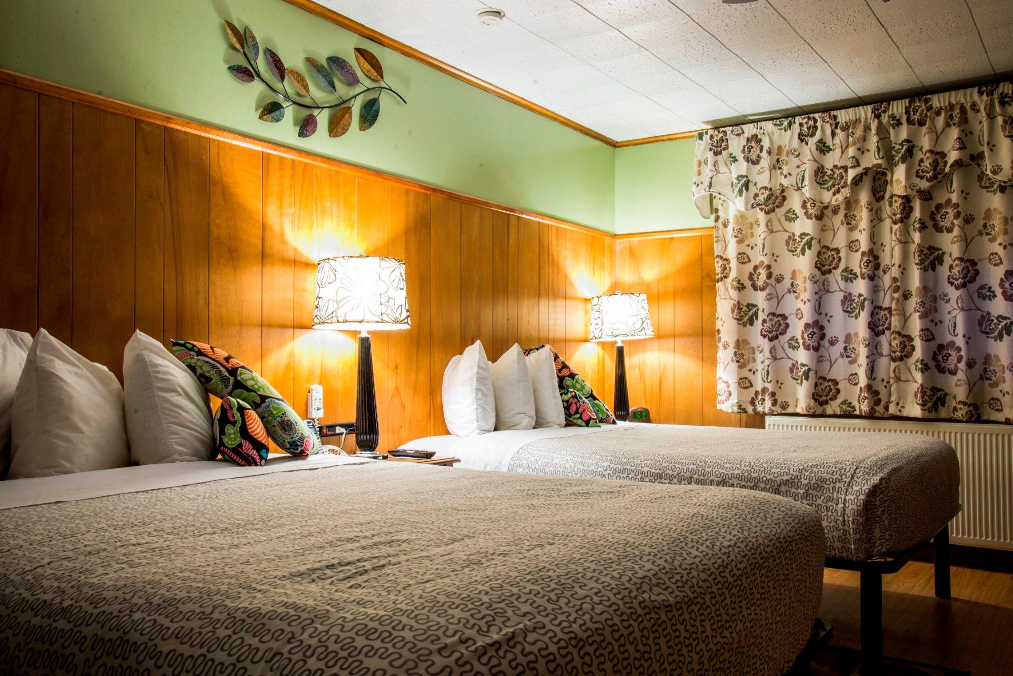
Places to stay
Hang your (vacation) hat in a place that’s just your style.
Advertisement


