Machiasport, ME
Advertisement
Machiasport, ME Map
Machiasport is a US city in Washington County in the state of Maine. Located at the longitude and latitude of -67.394722, 44.698611 and situated at an elevation of 0 meters. In the 2020 United States Census, Machiasport, ME had a population of 962 people. Machiasport is in the Eastern Standard Time timezone at Coordinated Universal Time (UTC) -5. Find directions to Machiasport, ME, browse local businesses, landmarks, get current traffic estimates, road conditions, and more.
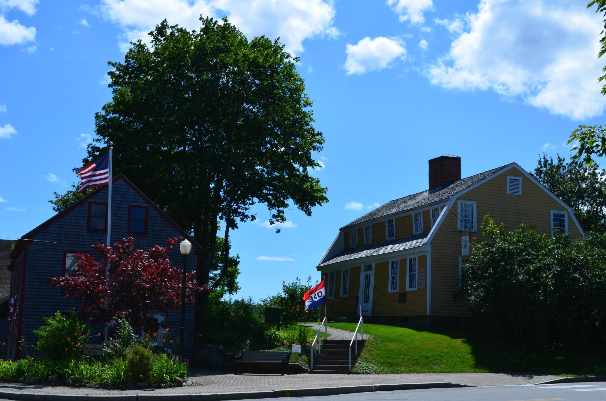
Machiasport, located in the state of Maine, is a quintessential New England coastal town known for its rugged beauty and historical significance. This town is steeped in history, most notably as the site of the first naval battle of the American Revolutionary War, the Battle of Machias, which took place in 1775. Visitors can explore remnants of this rich past at the Fort O'Brien State Historic Site, where the remains of a fort built to defend against British forces still stand. Machiasport's picturesque landscape is characterized by its rocky coastline and serene harbors, making it an appealing destination for those seeking tranquility and natural beauty.
One of the town's most popular spots is Jasper Beach, renowned for its unique array of colorful stones and the soothing sound of waves gently tumbling them. Nearby, the Machias Seal Island is a must-visit for bird enthusiasts, as it's home to a large colony of Atlantic puffins. For those interested in local culture, Machiasport offers a glimpse into traditional Maine life, with its quaint fishing communities and lobster shacks. The town's charm is further enhanced by its historic architecture, including classic New England-style homes and churches that add to its timeless appeal.
Nearby cities include: East Machias, ME, Machias, ME, Marshfield, ME, Whitneyville, ME, Roque Bluffs, ME, Jonesboro, ME, Cutler, ME, Northfield, ME, Whiting, ME, Centerville, ME.
Places in Machiasport
Dine and drink
Eat and drink your way through town.
Can't-miss activities
Culture, natural beauty, and plain old fun.
Places to stay
Hang your (vacation) hat in a place that’s just your style.
Advertisement


