


Tilghman, MD
Advertisement
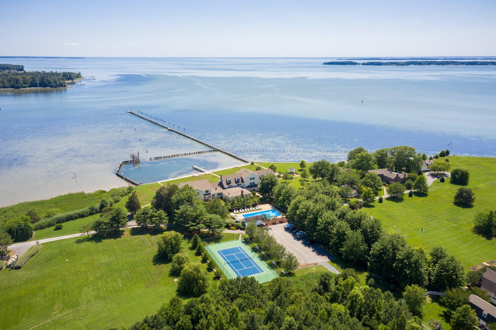
Tilghman Island, MD Map
Tilghman Island is a US city in Talbot County in the state of Maryland. Located at the longitude and latitude of -76.335000, 38.708900 and situated at an elevation of 2 meters. In the 2020 United States Census, Tilghman Island, MD had a population of 807 people. Tilghman Island is in the Eastern Standard Time timezone at Coordinated Universal Time (UTC) -5. Find directions to Tilghman Island, MD, browse local businesses, landmarks, get current traffic estimates, road conditions, and more.
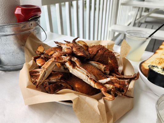
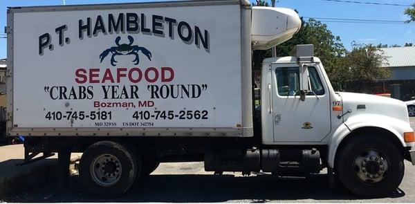
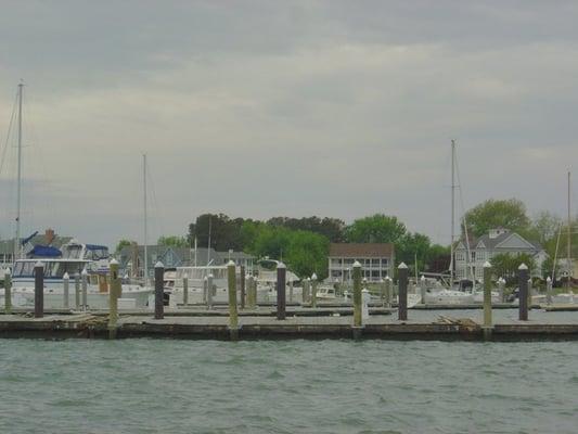
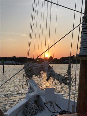
Tilghman Island, nestled in the heart of Maryland's Chesapeake Bay, is renowned for its rich maritime heritage and tranquil charm. This picturesque destination is known for its vibrant fishing community, where watermen have plied the bay for oysters, crabs, and fish for generations. Visitors can delve into this storied past at the Tilghman Watermen's Museum, which showcases the island's connection to the bay and its seafaring traditions. The island's serene landscapes offer a perfect backdrop for outdoor activities like kayaking, bird watching, and sailing, making it a haven for nature enthusiasts.
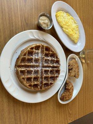
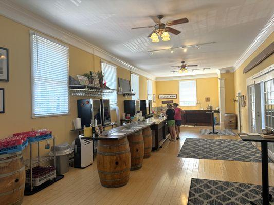
One of Tilghman Island's most popular attractions is the iconic Knapps Narrows Bridge, one of the few drawbridges still in operation, providing a glimpse into the island's maritime past. The island is also home to the historic Phillips Wharf Environmental Center, where visitors can learn about the local ecology and conservation efforts. For those seeking a taste of local cuisine, the island boasts several seafood restaurants offering fresh, locally sourced dishes. With its captivating blend of history, natural beauty, and warm hospitality, Tilghman Island offers a unique escape for those looking to explore the cultural and environmental treasures of Maryland's Eastern Shore.
Nearby cities include: Saint Michaels, MD, Oxford, MD, North Beach, MD, Chesapeake Beach, MD, Deale, MD, Shady Side, MD, Friendship, MD, Owings, MD, Galesville, MD, Easton, MD.
Places in Tilghman
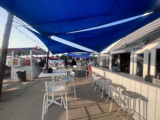
Dine and drink
Eat and drink your way through town.
Can't-miss activities
Culture, natural beauty, and plain old fun.

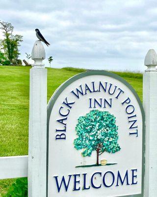
Places to stay
Hang your (vacation) hat in a place that’s just your style.

Advertisement