Kitzmiller, MD
Advertisement
Kitzmiller, MD Map
Kitzmiller is a US city in Garrett County in the state of Maryland. Located at the longitude and latitude of -79.182222, 39.387778 and situated at an elevation of 489 meters. In the 2020 United States Census, Kitzmiller, MD had a population of 300 people. Kitzmiller is in the Eastern Standard Time timezone at Coordinated Universal Time (UTC) -5. Find directions to Kitzmiller, MD, browse local businesses, landmarks, get current traffic estimates, road conditions, and more.
Kitzmiller, Maryland, is a quaint town nestled along the banks of the North Branch Potomac River. Known for its picturesque natural surroundings, the area is a haven for outdoor enthusiasts and offers a peaceful retreat from bustling city life. The town's history is rooted in its role as a hub for the coal mining industry in the early 20th century, which shaped much of its cultural and historical landscape. Visitors can explore the remnants of this era, enjoying a glimpse into the town's past while taking in the scenic beauty that defines the region.
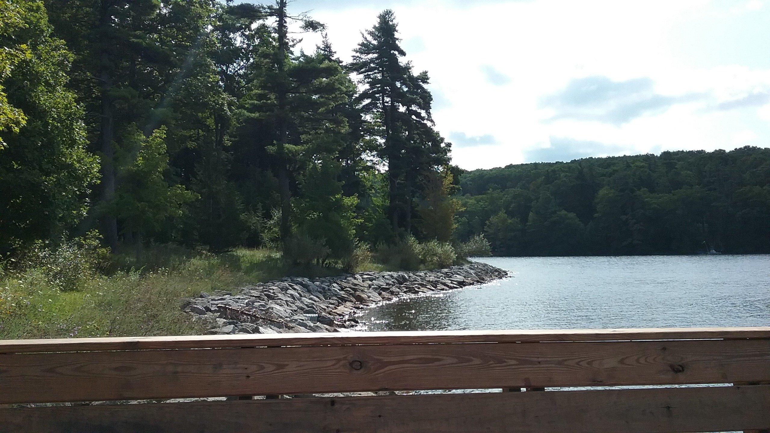
A key attraction in Kitzmiller is the nearby Jennings Randolph Lake, which provides opportunities for boating, fishing, and hiking, making it a favorite spot for nature lovers and adventure seekers. Additionally, the town's charming atmosphere is enhanced by its historic architecture and community events that bring locals and visitors together. With its rich history and natural allure, Kitzmiller offers a unique blend of tranquility and exploration for those looking to experience a small-town charm amidst Maryland's stunning landscapes.
Nearby cities include: Elk Garden, WV, Swanton, MD, Deer Park, MD, Bloomington, MD, Luke, MD, Piedmont, WV, Westernport, MD, Loch Lynn Heights, MD, Franklin, MD, Mountain Lake Park, MD.
Places in Kitzmiller
Dine and drink
Eat and drink your way through town.
Can't-miss activities
Culture, natural beauty, and plain old fun.
Places to stay
Hang your (vacation) hat in a place that’s just your style.
Advertisement


