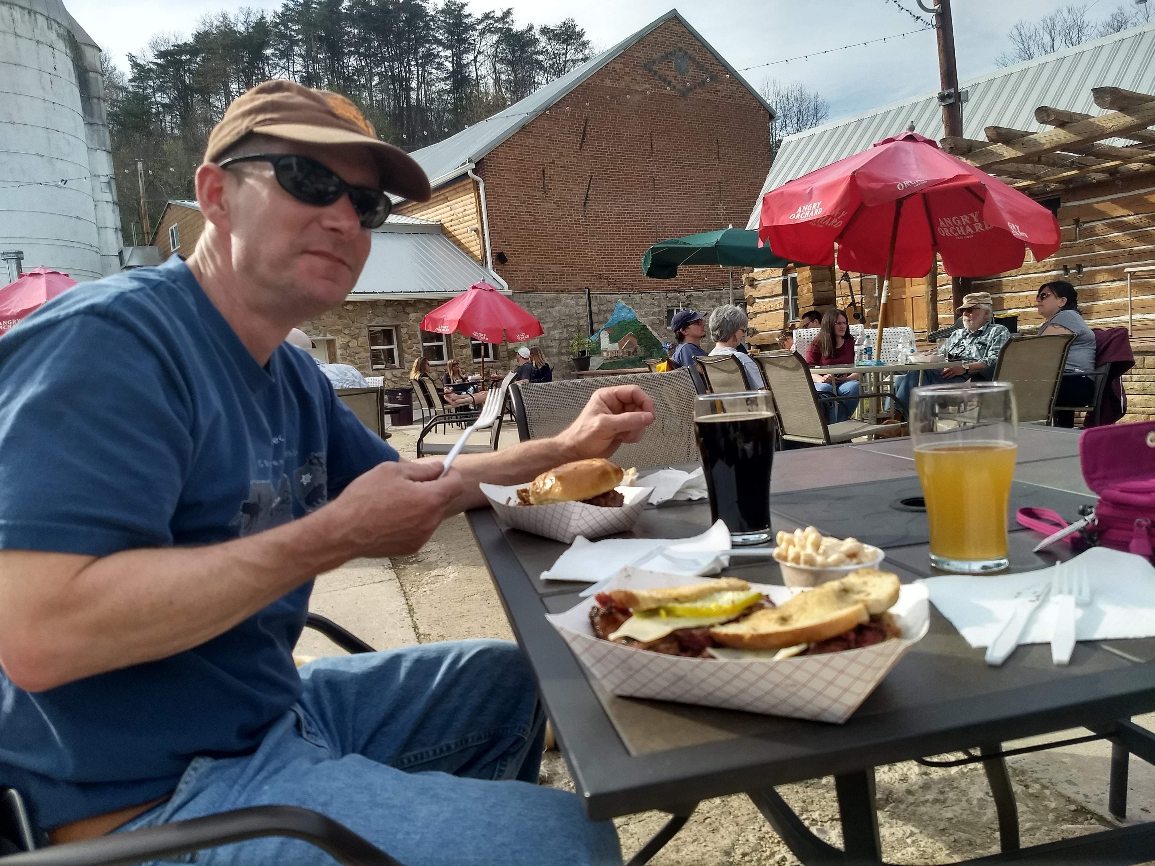
Flintstone, MD
Advertisement
Flintstone Map
Flintstone is a small unincorporated town in Allegany County, Maryland, USA. Flintstone lies between the southern foot of Tussey Mountain and a water gap in the Warrior Mountain formed by Flintstone Creek, north of the North Branch Potomac River and south of the Mason-Dixon Line. Rocky Gap State Park and Green Ridge State Forest are both in the Flintstone zip code. It is part of the Cumberland, MD-WV Metropolitan Statistical Area. The Breakneck Road Historic District was listed on the National Register of Historic Places in 1980.
Cumberland - Frostburg
Barton - Lonaconing - Luke - Midland - Westernport
Nearby cities include Cumberland, Little Orleans, Ellerslie, Hyndman, Oldtown.
Places in Flintstone
Dine and drink
Eat and drink your way through town.
Can't-miss activities
Culture, natural beauty, and plain old fun.
Places to stay
Hang your (vacation) hat in a place that’s just your style.
Advertisement


