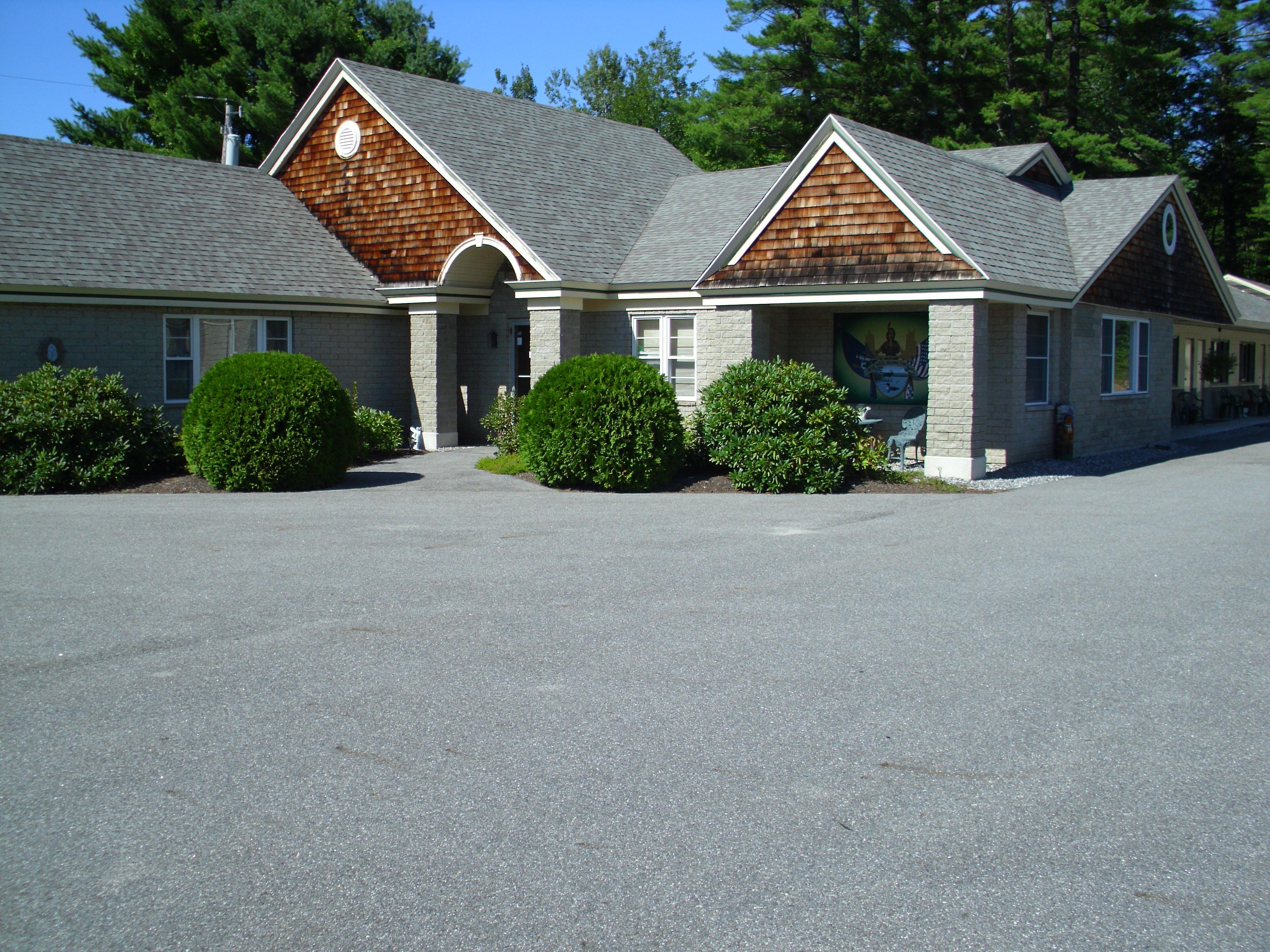
Windham, ME
Advertisement
Little Falls-South Windham, ME Map
Little Falls-South Windham is a US city in Cumberland County in the state of Maine. Located at the longitude and latitude of -70.420300, 43.731700 and situated at an elevation of 30 meters. In the 2020 United States Census, Little Falls-South Windham, ME had a population of 1,792 people. Little Falls-South Windham is in the Eastern Standard Time timezone at Coordinated Universal Time (UTC) -5. Find directions to Little Falls-South Windham, ME, browse local businesses, landmarks, get current traffic estimates, road conditions, and more.
Little Falls-South Windham, located in the state of Maine, is a quaint area known for its charming New England character and picturesque landscapes. This small yet vibrant community is nestled along the Presumpscot River, providing scenic views and opportunities for outdoor recreation such as kayaking and fishing. The area is known for its rich history, with roots dating back to the early days of settlement in Maine. Visitors often explore the historic buildings and remnants of the old mills that once powered the local economy, giving insight into the industrial past of the region.
Popular places in Little Falls-South Windham include the Little Falls-South Windham Historic District, where you can admire well-preserved 19th-century architecture. The area is also home to several local parks and trails, like the Mountain Division Trail, which offers a peaceful retreat for hikers and cyclists. The community hosts various local events throughout the year, celebrating its heritage and fostering a sense of camaraderie among residents and visitors alike. Whether you're interested in exploring its historical roots or enjoying the natural beauty, Little Falls-South Windham offers a unique glimpse into the quintessential charm of Maine.
Nearby cities include: Gorham, ME, Westbrook, ME, Standish, ME, Buxton, ME, Falmouth, ME, Frye Island, ME, Cumberland Center, ME, Portland, ME, South Portland, ME, Steep Falls, ME.
Places in Windham
Dine and drink
Eat and drink your way through town.
Can't-miss activities
Culture, natural beauty, and plain old fun.
Places to stay
Hang your (vacation) hat in a place that’s just your style.
Advertisement


