


Orono, ME
Advertisement
Orono, ME Map
Orono is a US city in Penobscot County in the state of Maine. Located at the longitude and latitude of -68.672000, 44.883000 and situated at an elevation of 38 meters. In the 2020 United States Census, Orono, ME had a population of 11,183 people. Orono is in the Eastern Standard Time timezone at Coordinated Universal Time (UTC) -5. Find directions to Orono, ME, browse local businesses, landmarks, get current traffic estimates, road conditions, and more.
Orono, Maine, is primarily known as the home of the University of Maine, the state's flagship institution, which brings a vibrant academic and cultural atmosphere to this quaint New England town. The university's presence has fostered a community rich in educational and cultural opportunities, including the Collins Center for the Arts, which hosts a variety of performances ranging from music to theater. Orono is also characterized by its scenic natural beauty, with the Stillwater River flowing through the town, providing opportunities for kayaking and fishing. The town's history is intertwined with the lumber industry, which played a significant role in its development during the 19th century.
Visitors to Orono can explore a number of intriguing spots, such as the Hudson Museum, which is located on the University of Maine campus and offers a glimpse into Native American and other cultural artifacts. Outdoor enthusiasts will appreciate the Orono Bog Boardwalk, a 4,200-foot boardwalk that takes visitors through a unique peat bog ecosystem. The town's downtown area offers a selection of charming shops and restaurants, perfect for a leisurely afternoon. Orono's blend of academic influence, historical roots, and natural surroundings make it an appealing destination for those exploring Maine's rich cultural and geographic landscape.
Nearby cities include: Veazie, ME, Bradley, ME, Eddington, ME, Old Town, ME, Milford, ME, Bangor, ME, Brewer, ME, Holden, ME, Clifton, ME, Alton, ME.
Places in Orono
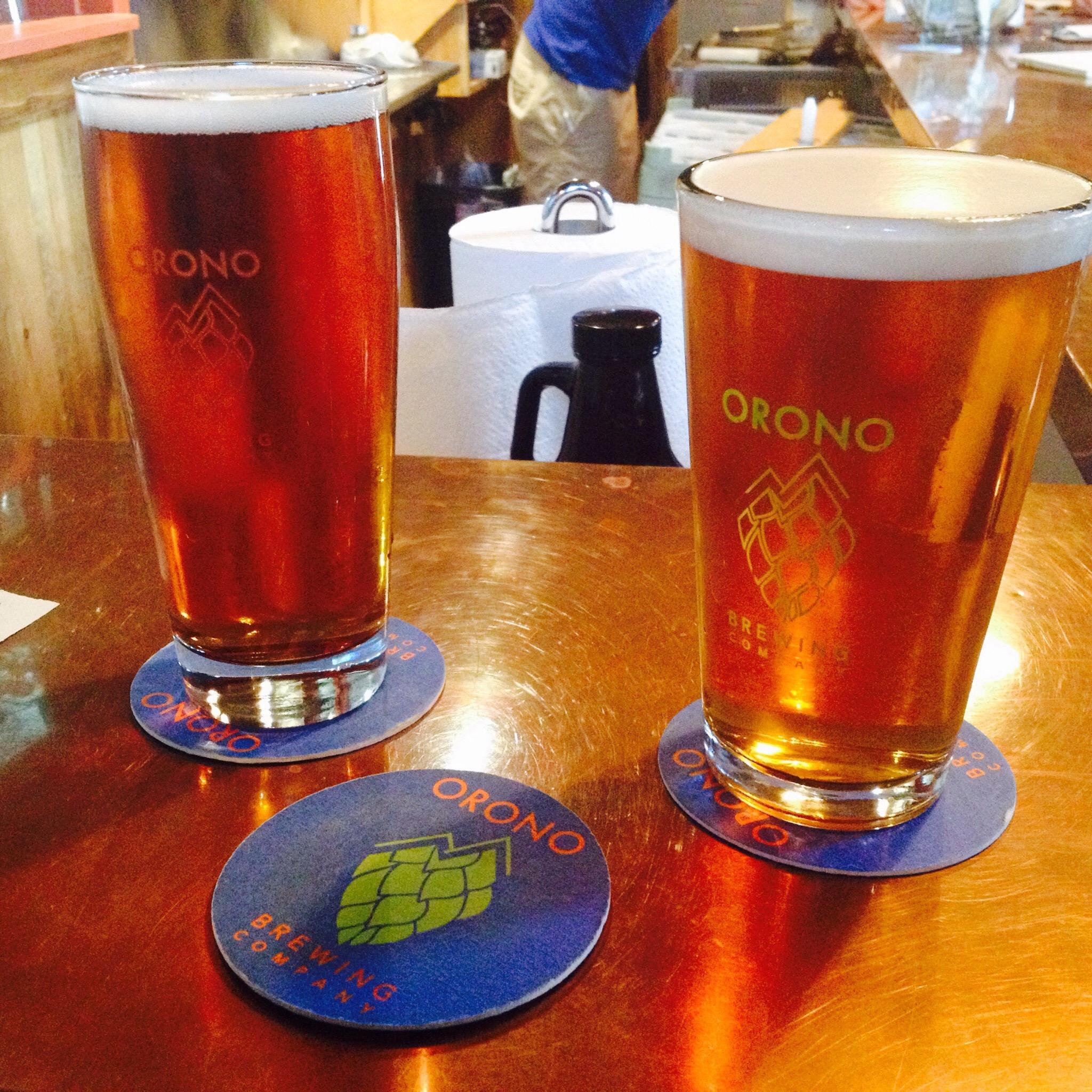
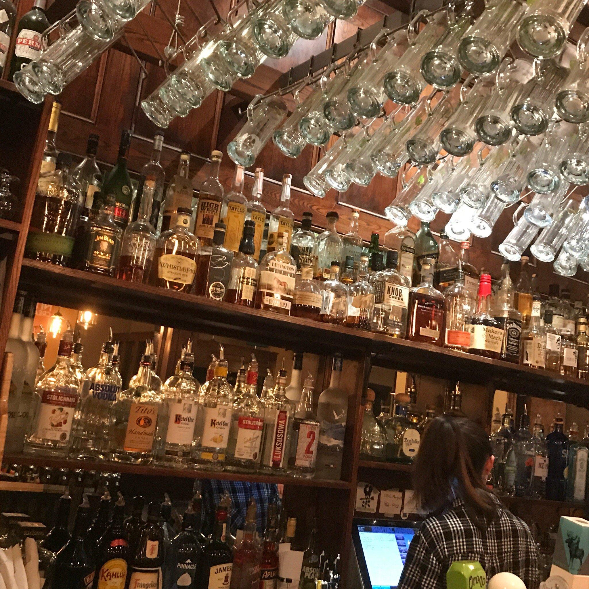
Dine and drink
Eat and drink your way through town.


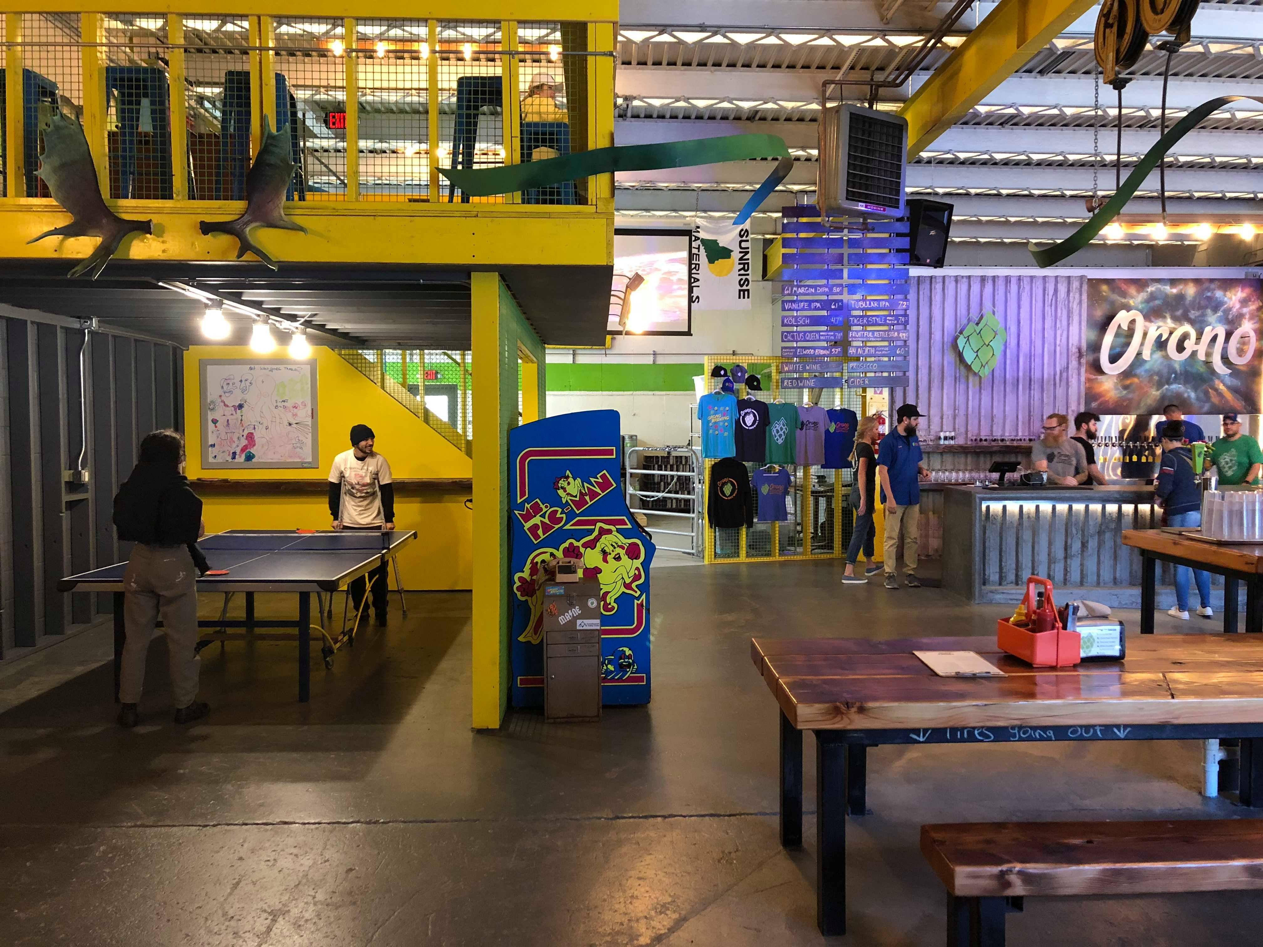
Can't-miss activities
Culture, natural beauty, and plain old fun.

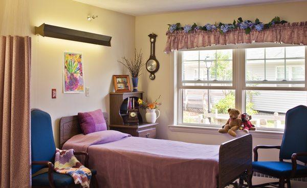
Places to stay
Hang your (vacation) hat in a place that’s just your style.


Advertisement