Lovell, ME
Advertisement
Lovell, ME Map
Lovell is a US city in Oxford County in the state of Maine. Located at the longitude and latitude of -70.891730, 44.126740 and situated at an elevation of 141 meters. In the 2020 United States Census, Lovell, ME had a population of 1,104 people. Lovell is in the Eastern Standard Time timezone at Coordinated Universal Time (UTC) -5. Find directions to Lovell, ME, browse local businesses, landmarks, get current traffic estimates, road conditions, and more.
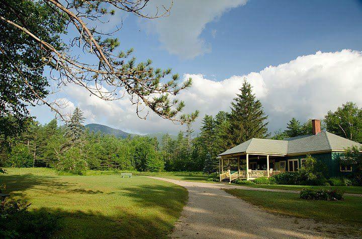
Lovell, nestled in the scenic state of Maine, is a quintessential New England town known for its charming, rustic appeal and natural beauty. It is perhaps most famous for its proximity to Kezar Lake, a stunning body of water that attracts outdoor enthusiasts for activities such as boating, fishing, and swimming. The lake's serene environment and picturesque views have made it a beloved spot for both locals and visitors seeking a tranquil retreat. The town's rural setting and lush landscapes provide ample opportunities for hiking and exploring, particularly in the nearby White Mountain National Forest, which offers breathtaking trails and wildlife viewing experiences.
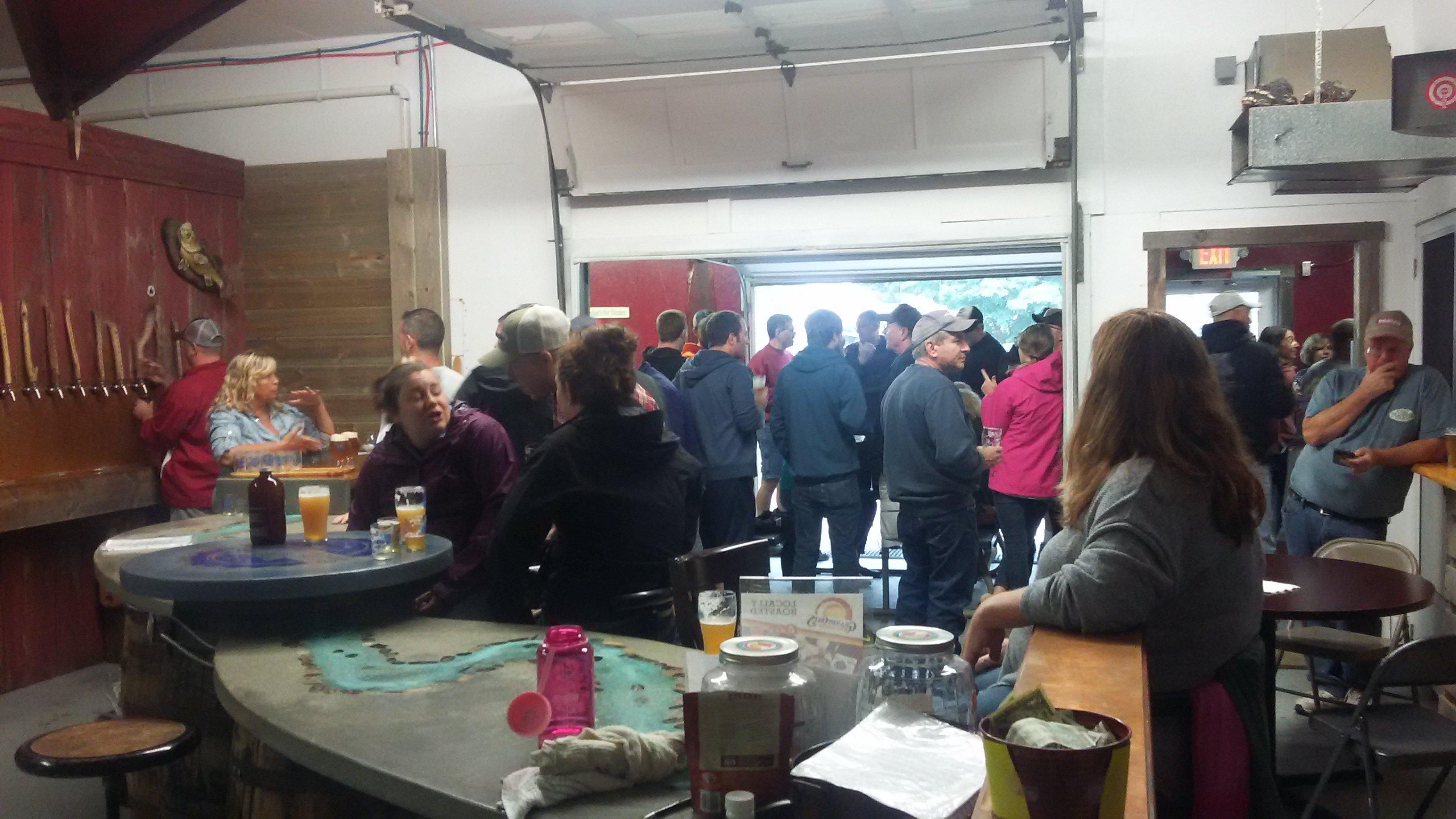
In addition to its natural attractions, Lovell is home to a few notable establishments that reflect its community spirit and cultural heritage. The Lovell Historical Society preserves and promotes the town's rich history, offering insights into its past through exhibits and events. Another highlight is Ebenezer's Pub, renowned for its extensive selection of Belgian beers and consistently ranked among the best beer destinations in the world. Whether you're exploring the great outdoors or indulging in local flavors, Lovell offers a delightful blend of relaxation and adventure.
Nearby cities include: Sweden, ME, Stow, ME, Chatham, NH, Fryeburg, ME, Bridgton, ME, Harrison, ME, Denmark, ME, North Conway, NH, Brownfield, ME, Jackson, NH.
Places in Lovell
Dine and drink
Eat and drink your way through town.
Can't-miss activities
Culture, natural beauty, and plain old fun.
Places to stay
Hang your (vacation) hat in a place that’s just your style.
Advertisement


