Levant, ME
Advertisement
Levant, ME Map
Levant is a US city in Penobscot County in the state of Maine. Located at the longitude and latitude of -68.934760, 44.869240 and situated at an elevation of 90 meters. In the 2020 United States Census, Levant, ME had a population of 2,940 people. Levant is in the Eastern Standard Time timezone at Coordinated Universal Time (UTC) -5. Find directions to Levant, ME, browse local businesses, landmarks, get current traffic estimates, road conditions, and more.
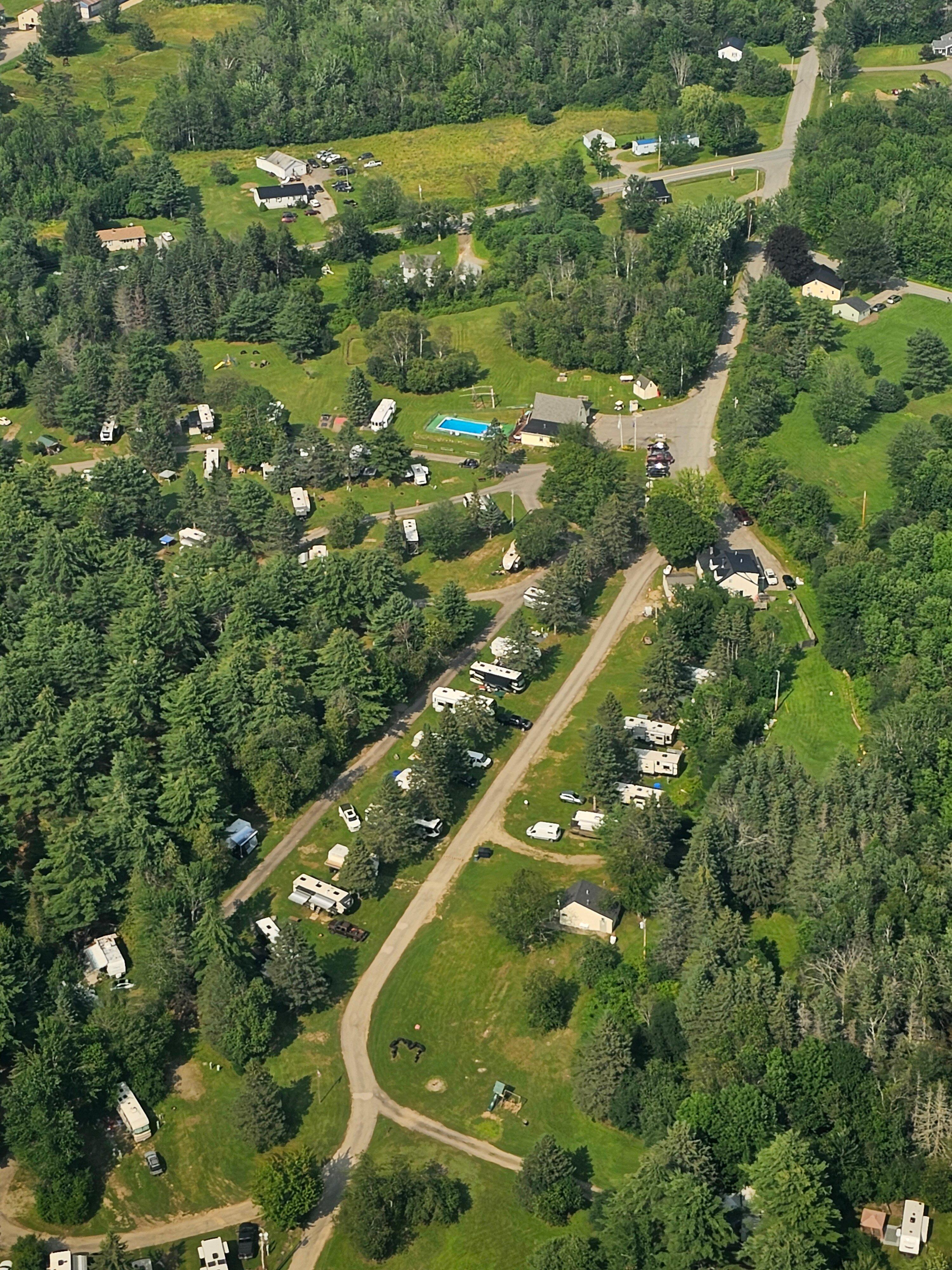
Levant, located in the state of Maine, is a small town that exudes a quintessential New England charm. Known for its scenic landscapes and tranquil rural setting, Levant offers a peaceful retreat from the hustle and bustle of urban life. The town is enveloped in natural beauty, with lush forests and rolling hills that are perfect for outdoor activities such as hiking and birdwatching. History enthusiasts may find the town's heritage intriguing, with roots dating back to its incorporation in 1813, showcasing a rich tapestry of early American life.
While Levant might not boast bustling tourist attractions, it is home to several local gems that draw visitors seeking an authentic small-town experience. The Levant Heritage Library, housed in a historic building, offers a glimpse into the town's past with its collection of local history resources. Additionally, the area is dotted with charming farms and orchards, particularly popular in the autumn months when visitors can enjoy apple picking and hayrides. The community spirit in Levant is palpable, with local events and fairs providing an opportunity for both residents and visitors to come together and celebrate the town's unique character.
Nearby cities include: Kenduskeag, ME, Hermon, ME, Carmel, ME, Plymouth, ME, Etna, ME, Bangor, ME, Hudson, ME, Hampden, ME, Brewer, ME, Stetson, ME.
Places in Levant
Dine and drink
Eat and drink your way through town.
Can't-miss activities
Culture, natural beauty, and plain old fun.
Places to stay
Hang your (vacation) hat in a place that’s just your style.
Advertisement


