


Wilbraham, MA
Advertisement
Wilbraham, MA Map
Wilbraham is a US city in Hampden County in the state of Massachusetts. Located at the longitude and latitude of -72.431470, 42.123710 and situated at an elevation of 88 meters. In the 2020 United States Census, Wilbraham, MA had a population of 14,613 people. Wilbraham is in the Eastern Standard Time timezone at Coordinated Universal Time (UTC) -5. Find directions to Wilbraham, MA, browse local businesses, landmarks, get current traffic estimates, road conditions, and more.
Wilbraham, Massachusetts, is a charming New England town known primarily for its picturesque landscapes and historical significance. Established in 1763, it carries a rich history, reflected in its well-preserved colonial architecture and historic sites. The town is particularly renowned for the Wilbraham & Monson Academy, a prestigious institution founded in 1804, which draws students from around the globe. Visitors often enjoy exploring the serene hiking trails of the Rice Nature Preserve, offering panoramic views of the surrounding countryside, or taking a stroll through the town’s quaint center, which features a variety of local shops and eateries.
A notable attraction in Wilbraham is The Big E, officially known as the Eastern States Exposition, which, although technically located in nearby West Springfield, significantly influences the town’s cultural landscape each fall. This multi-state fair is one of the largest in the United States, showcasing agricultural exhibits, entertainment, and food. Additionally, the annual Peach Festival is a local favorite, celebrating the area's agricultural roots with events and activities for all ages. Overall, Wilbraham provides a peaceful yet engaging experience, steeped in history and natural beauty.
Nearby cities include: Ludlow, MA, Hampden, MA, Three Rivers, MA, East Longmeadow, MA, Monson, MA, Springfield, MA, Monson Center, MA, Chicopee, MA, Longmeadow, MA, North Chicopee, MA.
Places in Wilbraham
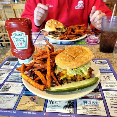
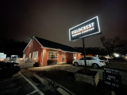
Dine and drink
Eat and drink your way through town.


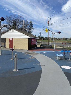
Can't-miss activities
Culture, natural beauty, and plain old fun.

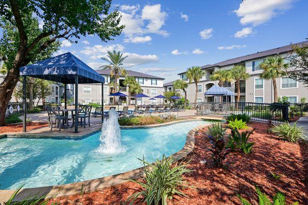
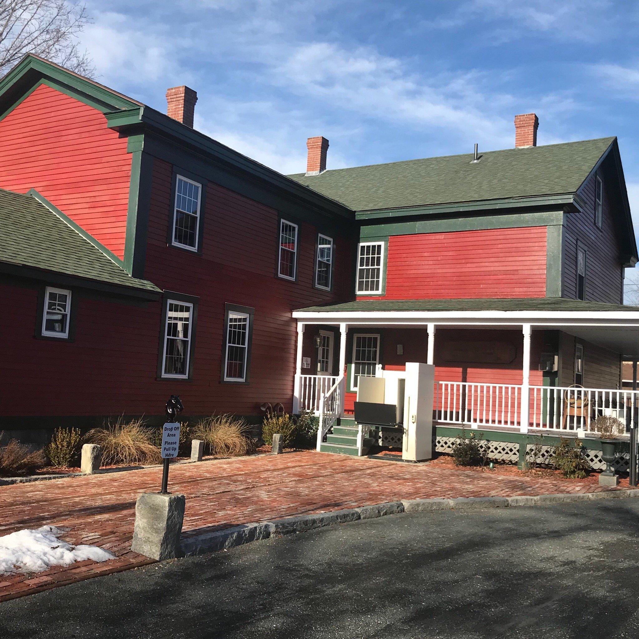
Places to stay
Hang your (vacation) hat in a place that’s just your style.

Advertisement