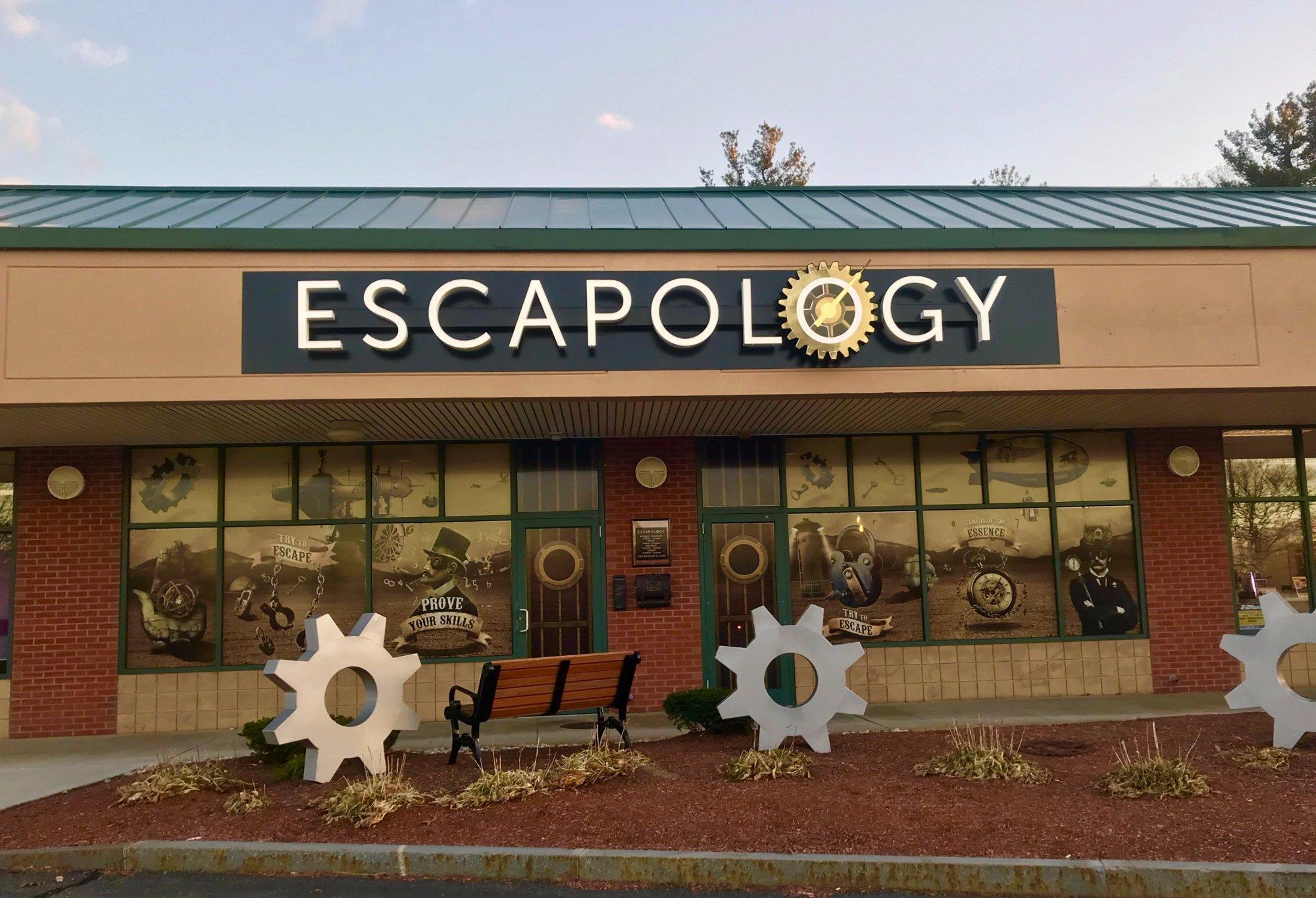
Tewksbury, MA
Advertisement
Tewksbury, MA Map
Tewksbury is a US city in Middlesex County in the state of Massachusetts. Located at the longitude and latitude of -71.218056, 42.610556 and situated at an elevation of 38 meters. In the 2020 United States Census, Tewksbury, MA had a population of 31,342 people. Tewksbury is in the Eastern Standard Time timezone at Coordinated Universal Time (UTC) -5. Find directions to Tewksbury, MA, browse local businesses, landmarks, get current traffic estimates, road conditions, and more.
Tewksbury, Massachusetts, is a town with a rich historical background and a community-oriented atmosphere. Established in 1734, Tewksbury is known for its blend of historical significance and modern suburban charm. One of the town's notable historical sites is the Tewksbury Hospital, which was originally opened in 1854 as an almshouse and later became a significant medical facility. The town's history is also reflected in its classic New England architecture and its involvement in various historical events over the centuries, making it a place of interest for history enthusiasts.
Visitors to Tewksbury can enjoy a variety of recreational activities and attractions. The Tewksbury Country Club offers a picturesque setting for golf enthusiasts, while Livingston Street Park provides ample space for outdoor activities and family gatherings. Additionally, the Public Library serves as a cultural hub, frequently hosting events and programs for residents and visitors alike. For those interested in shopping and dining, Tewksbury offers a range of local eateries and retail options, providing a comprehensive experience of this quintessential New England town.
Nearby cities include: Billerica, MA, Wilmington, MA, Andover, MA, Lowell, MA, Dracut, MA, Lawrence, MA, Burlington, MA, North Andover, MA, North Reading, MA, Chelmsford, MA.
Places in Tewksbury
Dine and drink
Eat and drink your way through town.
Can't-miss activities
Culture, natural beauty, and plain old fun.
Places to stay
Hang your (vacation) hat in a place that’s just your style.
Advertisement


