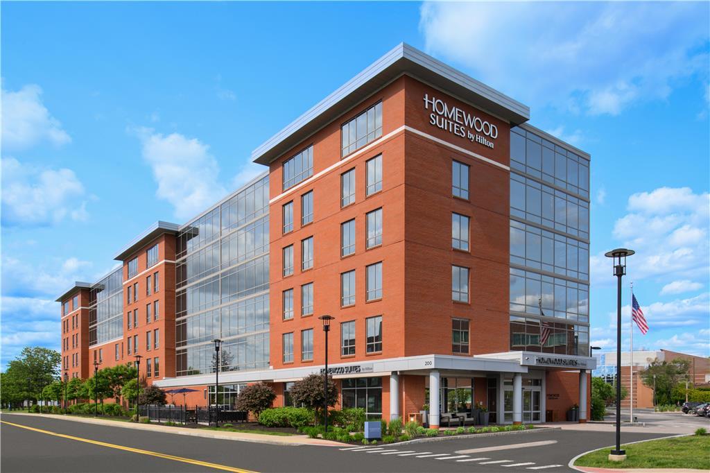
Needham, MA
Needham, MA
Advertisement
Needham, MA Map
Needham is a US city in Norfolk County in the state of Massachusetts. Located at the longitude and latitude of -71.233333, 42.283333 and situated at an elevation of 49 meters. In the 2020 United States Census, Needham, MA had a population of 32,091 people. Needham is in the Eastern Standard Time timezone at Coordinated Universal Time (UTC) -5. Find directions to Needham, MA, browse local businesses, landmarks, get current traffic estimates, road conditions, and more.
Needham, Massachusetts, is a charming town known for its quintessential New England character and strong community spirit. Established in 1711, Needham has a rich history that is reflected in its well-preserved architecture and historical sites. The town is home to the Needham History Center & Museum, which offers a fascinating glimpse into the area's past through its exhibits and preserved buildings. Needham is also renowned for its vibrant town center, filled with a variety of shops, restaurants, and cafes that provide a welcoming atmosphere for both residents and visitors.
One of the town's popular attractions is the Needham Town Common, a central gathering spot for community events and seasonal festivals. Nature enthusiasts will appreciate the scenic beauty of the Charles River Peninsula, where trails and open spaces offer opportunities for outdoor activities. Additionally, Needham's proximity to Boston makes it an attractive location for those looking to enjoy suburban life while having easy access to the cultural and economic opportunities of a major city. With its blend of historical charm and modern amenities, Needham is a delightful destination for anyone exploring the Greater Boston area.
Nearby cities include: Wellesley, MA, Dover, MA, Newton, MA, Dedham, MA, Westwood, MA, Natick, MA, Jamaica Plain, MA, Norwood, MA, Watertown, MA, Brookline, MA.
Places in Needham
Dine and drink
Eat and drink your way through town.
Can't-miss activities
Culture, natural beauty, and plain old fun.
Places to stay
Hang your (vacation) hat in a place that’s just your style.
Advertisement


