Nantucket, MA
Advertisement
Nantucket, MA Map
Nantucket is a US city in Nantucket County in the state of Massachusetts. Located at the longitude and latitude of -70.100000, 41.283300 and situated at an elevation of 8 meters. In the 2020 United States Census, Nantucket, MA had a population of 14,255 people. Nantucket is in the Eastern Standard Time timezone at Coordinated Universal Time (UTC) -5. Find directions to Nantucket, MA, browse local businesses, landmarks, get current traffic estimates, road conditions, and more.
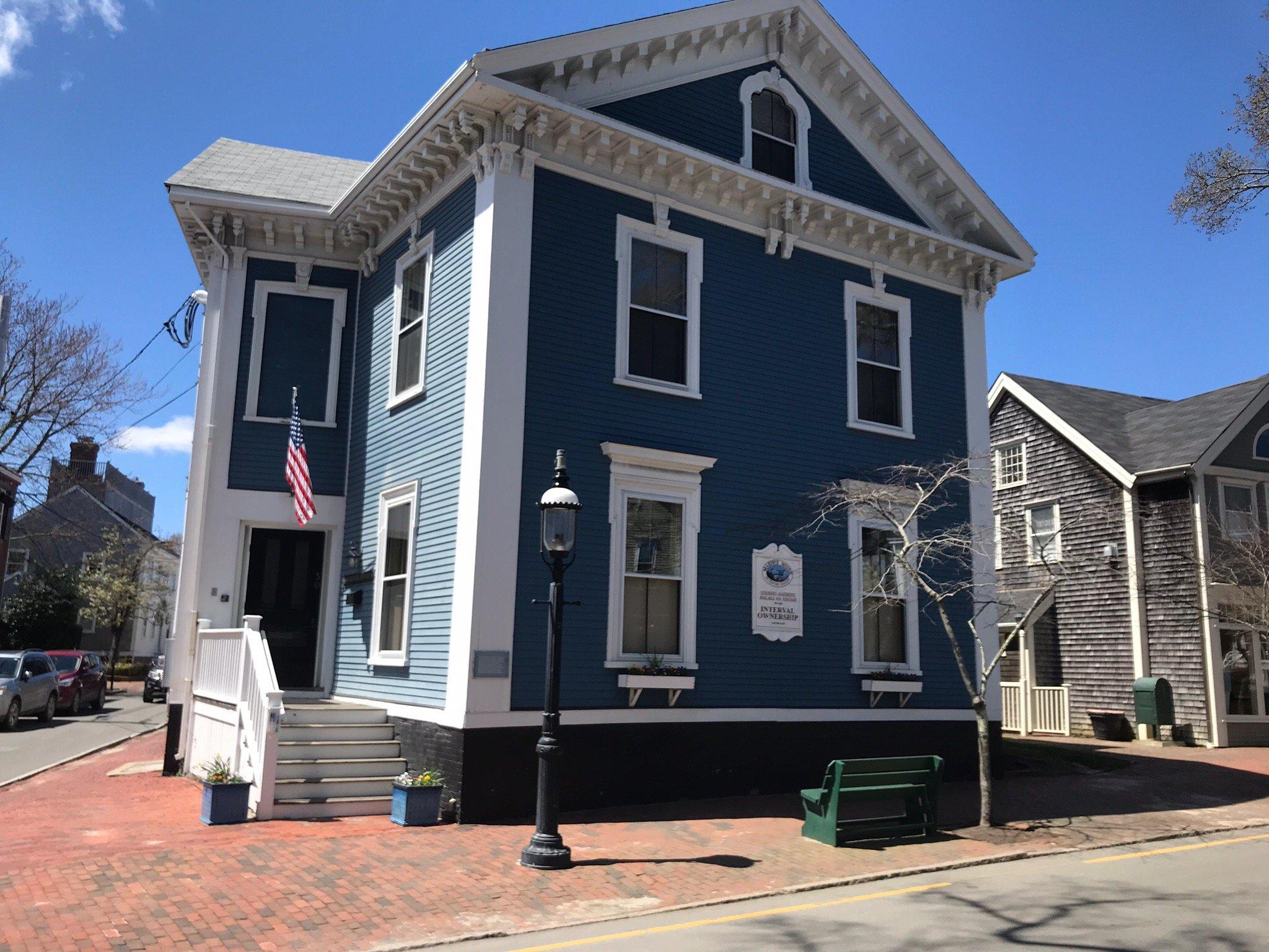
Nantucket, a picturesque island town off the coast of Massachusetts, is renowned for its stunning beaches, well-preserved cobblestone streets, and quintessential New England charm. Historically, Nantucket was a prominent whaling hub in the 19th century, a legacy that is captured vividly at the Whaling Museum, where visitors can explore artifacts and exhibits that tell the story of the island's maritime past. The town itself is a National Historic Landmark District, reflecting its rich history through beautifully maintained homes and historic sites.
Among the popular attractions in Nantucket is the Brant Point Lighthouse, the second oldest lighthouse in America, offering a perfect backdrop for scenic views and photographs. The island is also famous for its vibrant arts scene, with the Nantucket Arts Festival and numerous galleries showcasing local talent. Visitors can enjoy leisurely strolls through the charming downtown area, filled with boutique shops and gourmet restaurants, or explore natural beauty at the Coskata-Coatue Wildlife Refuge, which provides opportunities for wildlife watching and hiking. Nantucket's unique blend of history, culture, and natural beauty makes it a beloved destination for travelers seeking a tranquil escape.
Nearby cities include: Siasconset, MA, Edgartown, MA, West Dennis, MA, Dennis Port, MA, West Yarmouth, MA, Harwich Port, MA, Oak Bluffs, MA, South Yarmouth, MA, Hyannis, MA, Harwich, MA.
Places in Nantucket
Dine and drink
Eat and drink your way through town.
Can't-miss activities
Culture, natural beauty, and plain old fun.
Places to stay
Hang your (vacation) hat in a place that’s just your style.
Advertisement


