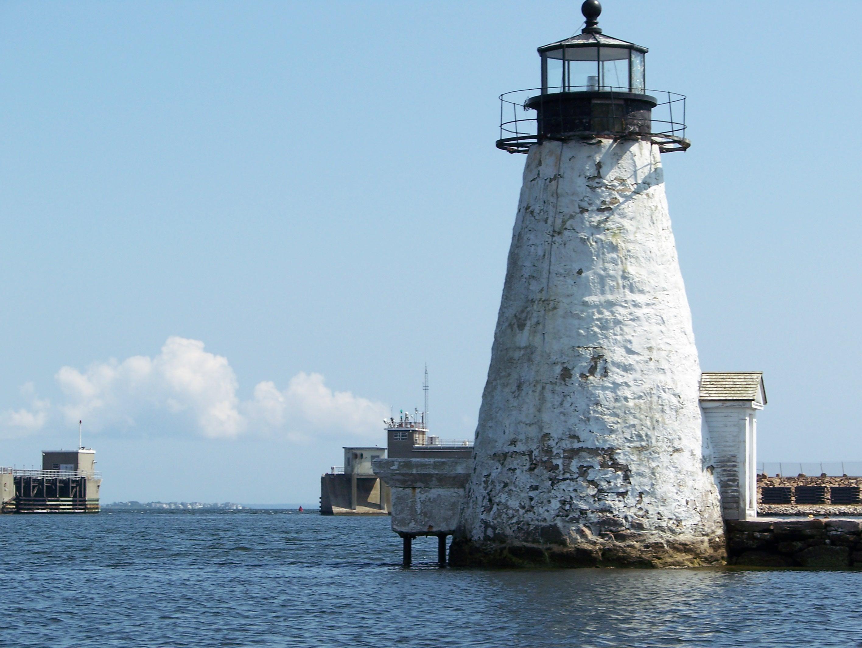
Fairhaven, MA
Advertisement
Fairhaven, MA Map
Fairhaven is a US city in Bristol County in the state of Massachusetts. Located at the longitude and latitude of -70.904167, 41.637500 and situated at an elevation of 5 meters. In the 2020 United States Census, Fairhaven, MA had a population of 15,924 people. Fairhaven is in the Eastern Standard Time timezone at Coordinated Universal Time (UTC) -5. Find directions to Fairhaven, MA, browse local businesses, landmarks, get current traffic estimates, road conditions, and more.
Fairhaven, Massachusetts, is a charming coastal town known for its rich maritime history and picturesque New England architecture. Established in 1812, Fairhaven boasts a storied past tied to the whaling industry, which is evident in its preserved historical buildings and monuments. One of the town's most notable benefactors was Henry Huttleston Rogers, an oil magnate who funded the construction of several architecturally significant structures in the early 20th century, including the Millicent Library and the Fairhaven Town Hall, both of which are renowned for their grandeur and intricate design.
Visitors to Fairhaven can enjoy a variety of attractions that highlight its historical and cultural significance. The Fort Phoenix State Reservation offers a glimpse into the town's military past with remnants of a Revolutionary War fort, along with scenic views of Buzzards Bay. For those interested in local lore, the Fairhaven Historical Society Museum provides insights into the town's development and its pivotal role in America's maritime history. Additionally, the town's beautiful coastal parks and beaches make it an ideal spot for outdoor activities such as hiking, picnicking, and bird watching.
Nearby cities include: New Bedford, MA, Acushnet, MA, Acushnet Center, MA, Dartmouth, MA, Mattapoisett, MA, Mattapoisett Center, MA, Westport, MA, Rochester, MA, Marion, MA, Marion Center, MA.
Places in Fairhaven
Dine and drink
Eat and drink your way through town.
Can't-miss activities
Culture, natural beauty, and plain old fun.
Places to stay
Hang your (vacation) hat in a place that’s just your style.
Advertisement


