Westlake, LA
Advertisement
Westlake, LA 70669
Westlake Map
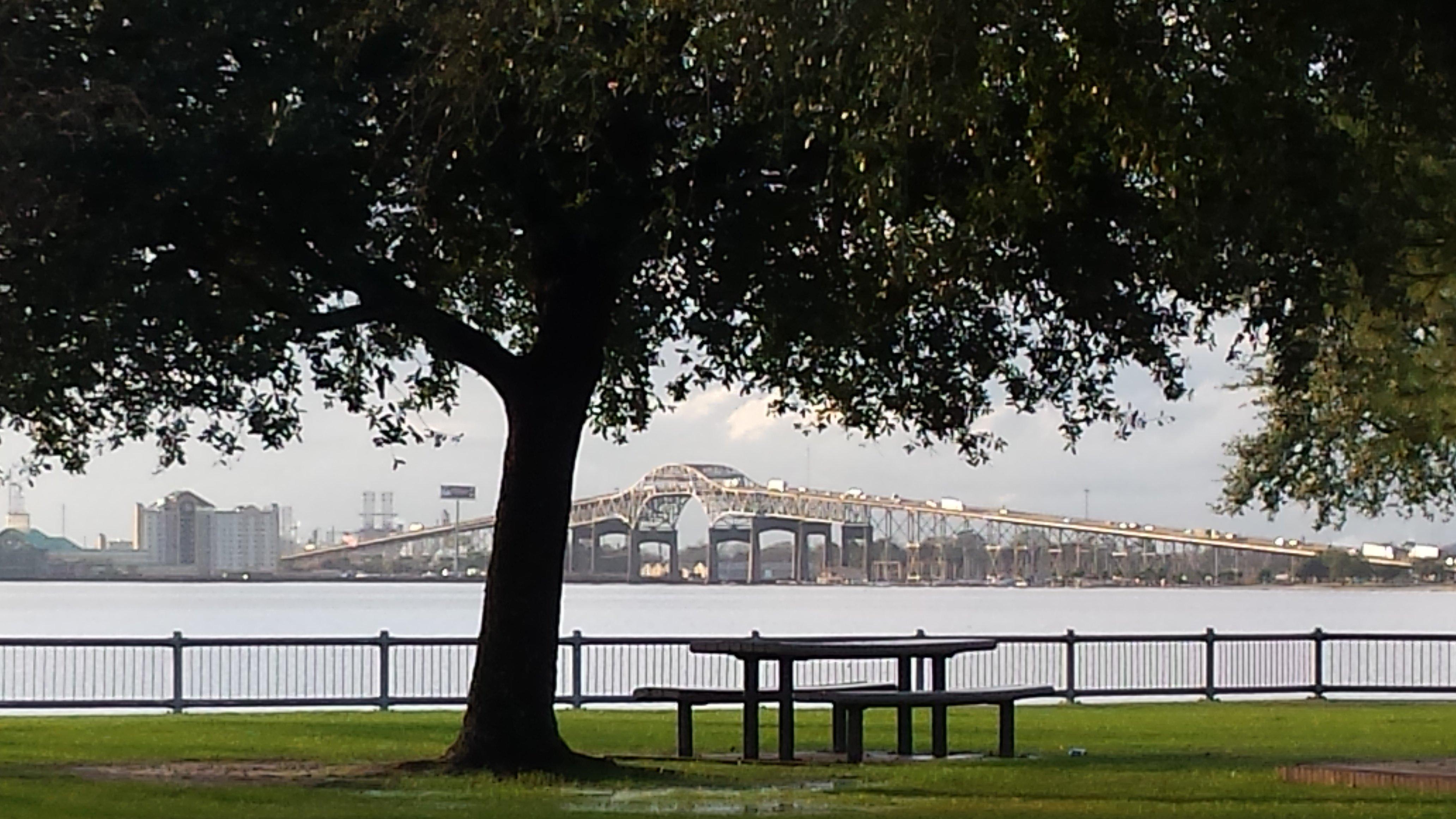
Westlake is a city in Calcasieu Parish, Louisiana, United States and is part of the Lake Charles Metropolitan Statistical Area. It is considered a suburb of Lake Charles. The population was 4,668 at the 2000 census. Westlake was incorporated in 1945.
Westlake is located at 30°14?54?N 93°15?33?W / 30.24833°N 93.25917°W / 30.24833; -93.25917 (30.248455, -93.259047).
According to the United States Census Bureau, the city has a total area of 2.3 square miles , all of it land.
Nearby cities include Iowa, Hackberry, Vinton, Lacassine, Lake Charles.
Places in Westlake
Dine and drink
Eat and drink your way through town.
Can't-miss activities
Culture, natural beauty, and plain old fun.
Places to stay
Hang your (vacation) hat in a place that’s just your style.
See a problem?
Advertisement


