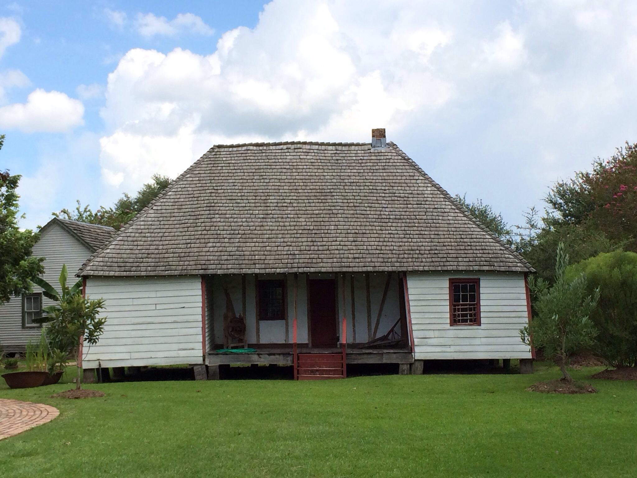
Opelousas, LA
Advertisement
Opelousas Map
Opelousas is a city in and the parish seat of St. Landry Parish, Louisiana, United States. It lies at the juncture of Interstate 49 and U.S. Route 190. The population was 22,860 at the 2000 census. Although the 2006 population estimate was 23,222, a 2004 annexation should put the city's population above 25,000. Opelousas is the principal city for the Opelousas-Eunice Micropolitan Statistical Area, which had an estimated population of 92,178 in 2008. Opelousas is also the 3rd largest city in the Lafayette-Acadiana Combined Statistical Area, which has a population of 537,947.
At only 7.5 square miles, Opelousas is the most densely populated incorporated city in Louisiana.
Founded in 1720, Opelousas is Louisiana's 3rd oldest city. The city served as a major trading post between New Orleans and Natchitoches in the 18th and 19th centuries.
Nearby cities include Church Point, Arnaudville, Cankton, Chataignier, Carencro.
Places in Opelousas
Dine and drink
Eat and drink your way through town.
Can't-miss activities
Culture, natural beauty, and plain old fun.
Places to stay
Hang your (vacation) hat in a place that’s just your style.
Advertisement


