


Natalbany, LA
Advertisement
Natalbany, LA Map
Natalbany is a US city in Tangipahoa County in the state of Louisiana. Located at the longitude and latitude of -90.483900, 30.547800 and situated at an elevation of 1,494 meters. In the 2020 United States Census, Natalbany, LA had a population of 2,510 people. Natalbany is in the Central Standard Time timezone at Coordinated Universal Time (UTC) -6. Find directions to Natalbany, LA, browse local businesses, landmarks, get current traffic estimates, road conditions, and more.
Natalbany, located in the state of Louisiana, is a small, unassuming community best known for its tranquil surroundings and Southern charm. While not a bustling metropolis, it offers visitors a sense of peace and a taste of classic Louisiana life. The area is characterized by its lush greenery and proximity to natural attractions, making it a pleasant stop for those interested in exploring the region's natural beauty. A notable highlight for visitors is the local farmer's markets, where you can find fresh produce and homemade goods, offering a glimpse into the local culture and lifestyle.
Though Natalbany might not boast a wide array of tourist attractions, it is steeped in the rich history typical of Louisiana towns. The community reflects the cultural tapestry of the state, with historical roots that echo the broader narrative of the South. Visitors often appreciate the small-town feel, where friendly locals are willing to share stories of the area's past. It's an ideal spot for those looking to experience a quiet, more laid-back side of Louisiana, away from the hustle and bustle of larger cities.
Nearby cities include: Tickfaw, LA, Hammond, LA, Independence, LA, Albany, LA, Ponchatoula, LA, Springfield, LA, Amite City, LA, Killian, LA, Montpelier, LA, Roseland, LA.
Places in Natalbany
Dine and drink
Eat and drink your way through town.


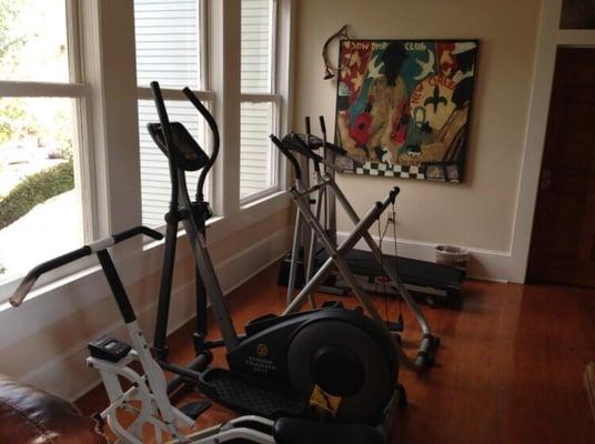
Can't-miss activities
Culture, natural beauty, and plain old fun.
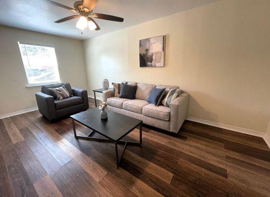


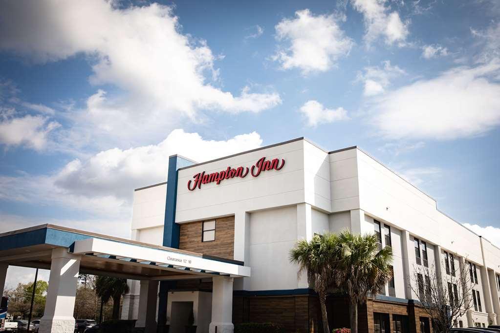
Places to stay
Hang your (vacation) hat in a place that’s just your style.


Advertisement