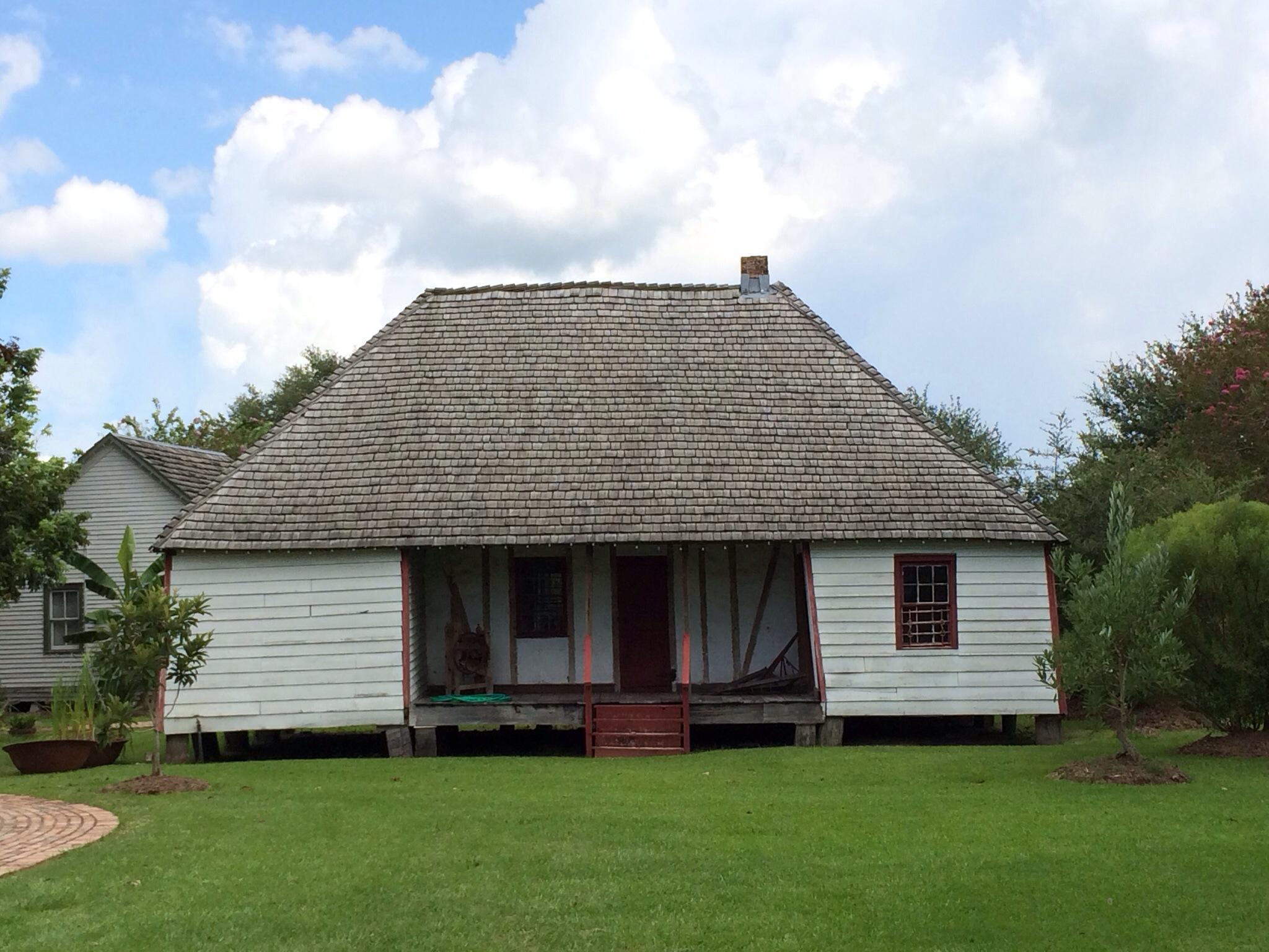
Leonville, LA
Advertisement
Leonville, LA Map
Leonville is a US city in St Landry County in the state of Louisiana. Located at the longitude and latitude of -91.978450, 30.470470 and situated at an elevation of 9 meters. In the 2020 United States Census, Leonville, LA had a population of 868 people. Leonville is in the Central Standard Time timezone at Coordinated Universal Time (UTC) -6. Find directions to Leonville, LA, browse local businesses, landmarks, get current traffic estimates, road conditions, and more.
Leonville, located in the heart of Louisiana, is a small yet vibrant community known for its rich cultural heritage and warm Southern hospitality. The city is steeped in history, with its roots tracing back to the early 19th century when it was predominantly a farming area. One of the key highlights of Leonville is its strong connection to Cajun culture, which is evident in its local festivals and traditional cuisine that visitors can enjoy. The St. Leo the Great Catholic Church stands as a testament to the town's deep-rooted religious traditions and serves as a central gathering place for community events and celebrations.
While Leonville may not boast a sprawling list of tourist attractions, it offers a quaint charm that is perfect for those looking to explore authentic Louisiana life. The town is known for its scenic landscapes and outdoor activities, particularly along the Bayou Teche, which provides opportunities for fishing and leisurely boat rides. Visitors can also explore local crafts and produce at small markets and stores that dot the town. Overall, Leonville offers a peaceful retreat with an authentic Cajun flair, making it a unique stop for those traveling through Louisiana.
Nearby cities include: Grand Coteau, LA, Arnaudville, LA, Port Barre, LA, Sunset, LA, Opelousas, LA, Washington, LA, Carencro, LA, Cankton, LA, Lawtell, LA, Krotz Springs, LA.
Places in Leonville
Dine and drink
Eat and drink your way through town.
Can't-miss activities
Culture, natural beauty, and plain old fun.
Places to stay
Hang your (vacation) hat in a place that’s just your style.
Advertisement


