Grand Cane, LA
Advertisement
Grand Cane, LA Map
Grand Cane is a US city in De Soto County in the state of Louisiana. Located at the longitude and latitude of -93.809200, 32.083600 and situated at an elevation of 91 meters. In the 2020 United States Census, Grand Cane, LA had a population of 217 people. Grand Cane is in the Central Standard Time timezone at Coordinated Universal Time (UTC) -6. Find directions to Grand Cane, LA, browse local businesses, landmarks, get current traffic estimates, road conditions, and more.
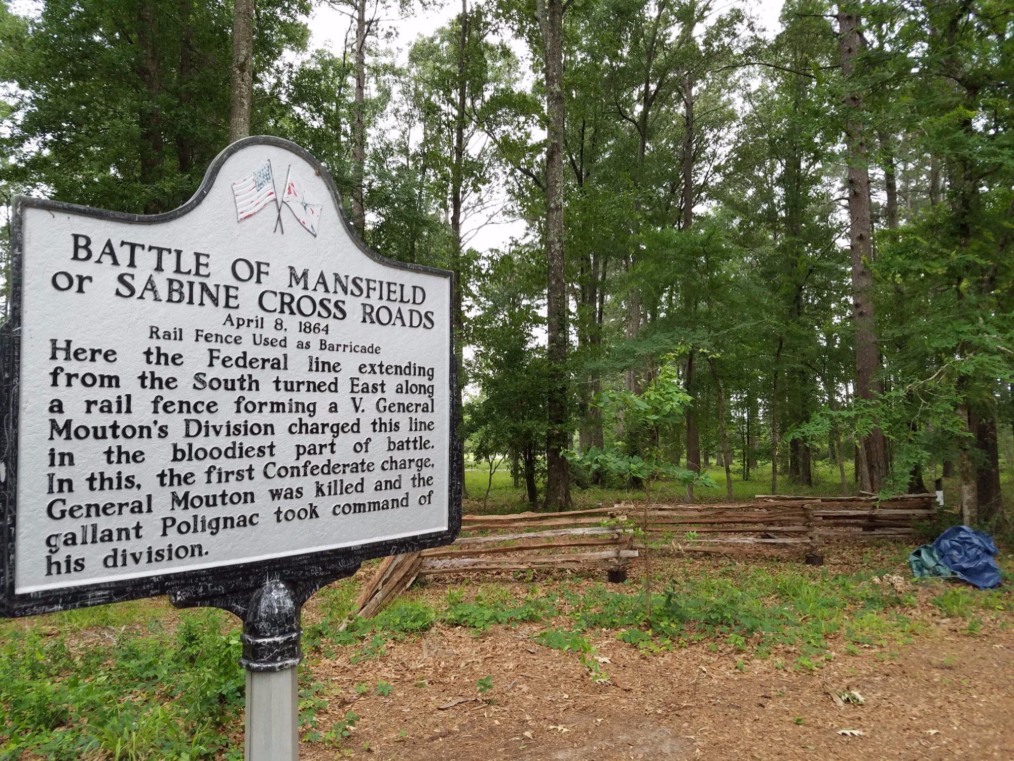
Grand Cane, located in the state of Louisiana, is a small town known for its charming historical ambiance and a strong sense of community. Established in the late 19th century, this town has preserved its heritage with pride, featuring a well-preserved historic district that transports visitors back in time. The town is particularly celebrated for its quaint, picturesque main street lined with antique shops, boutiques, and cozy cafes that reflect its rich past.
One of the highlights of Grand Cane is the BackAlley Community Theatre, a cultural hub where locals and visitors alike enjoy a range of performances, from plays to musical concerts. The town also hosts various seasonal events and festivals, which are a testament to its vibrant cultural life and community spirit. For those interested in history and rural charm, Grand Cane offers a delightful peek into Louisiana’s small-town life, making it a unique stop for travelers exploring the region.
Nearby cities include: South Mansfield, LA, Mansfield, LA, Gloster, LA, Longstreet, LA, Keachi, LA, Keatchie, LA, Stanley, LA, Stonewall, LA, Logansport, LA, Frierson, LA.
Places in Grand Cane
Dine and drink
Eat and drink your way through town.
Can't-miss activities
Culture, natural beauty, and plain old fun.
Places to stay
Hang your (vacation) hat in a place that’s just your style.
Advertisement


