Bastrop, LA
Advertisement
Bastrop, LA Map
Bastrop is a US city in Morehouse County in the state of Louisiana. Located at the longitude and latitude of -91.915000, 32.777800 and situated at an elevation of 51 meters. In the 2020 United States Census, Bastrop, LA had a population of 9,691 people. Bastrop is in the Central Standard Time timezone at Coordinated Universal Time (UTC) -6. Find directions to Bastrop, LA, browse local businesses, landmarks, get current traffic estimates, road conditions, and more.
Bastrop, located in the northeastern part of Louisiana, is a city with a rich tapestry of history and southern charm. Historically, Bastrop was established in the 19th century and has a legacy tied to agriculture and the timber industry, which played a crucial role in its development. Its historical roots are evident in the architecture and the stories preserved in local museums and heritage sites. Bastrop is known for its warm community and serene natural surroundings, making it an inviting stop for those exploring the state.
Visitors to Bastrop can explore the nearby Chemin-A-Haut State Park, which offers opportunities for hiking, picnicking, and wildlife observation, perfect for nature enthusiasts. The city's downtown area features a selection of local shops and eateries that provide a taste of local culture and hospitality. Additionally, the Snyder Museum and Creative Arts Center offer insights into the area's cultural heritage and artistic endeavors. Bastrop's combination of history, nature, and community spirit makes it a noteworthy destination in Louisiana.
Nearby cities include: Collinston, LA, Mer Rouge, LA, Sterlington, LA, Oak Ridge, LA, Bonita, LA, Start, LA, Marion, LA, Monroe, LA, West Monroe, LA, Rayville, LA.
Places in Bastrop
Dine and drink
Eat and drink your way through town.
Can't-miss activities
Culture, natural beauty, and plain old fun.
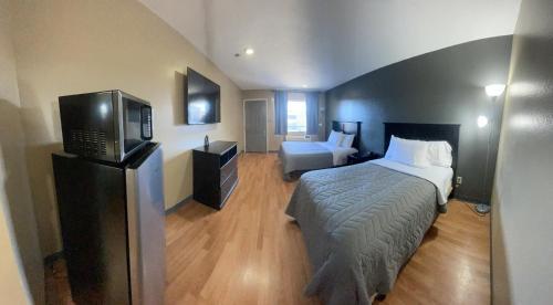
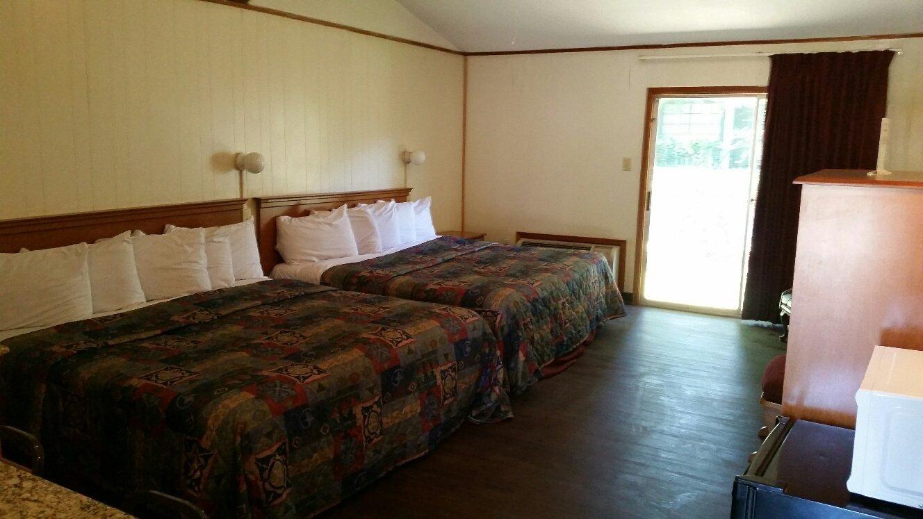
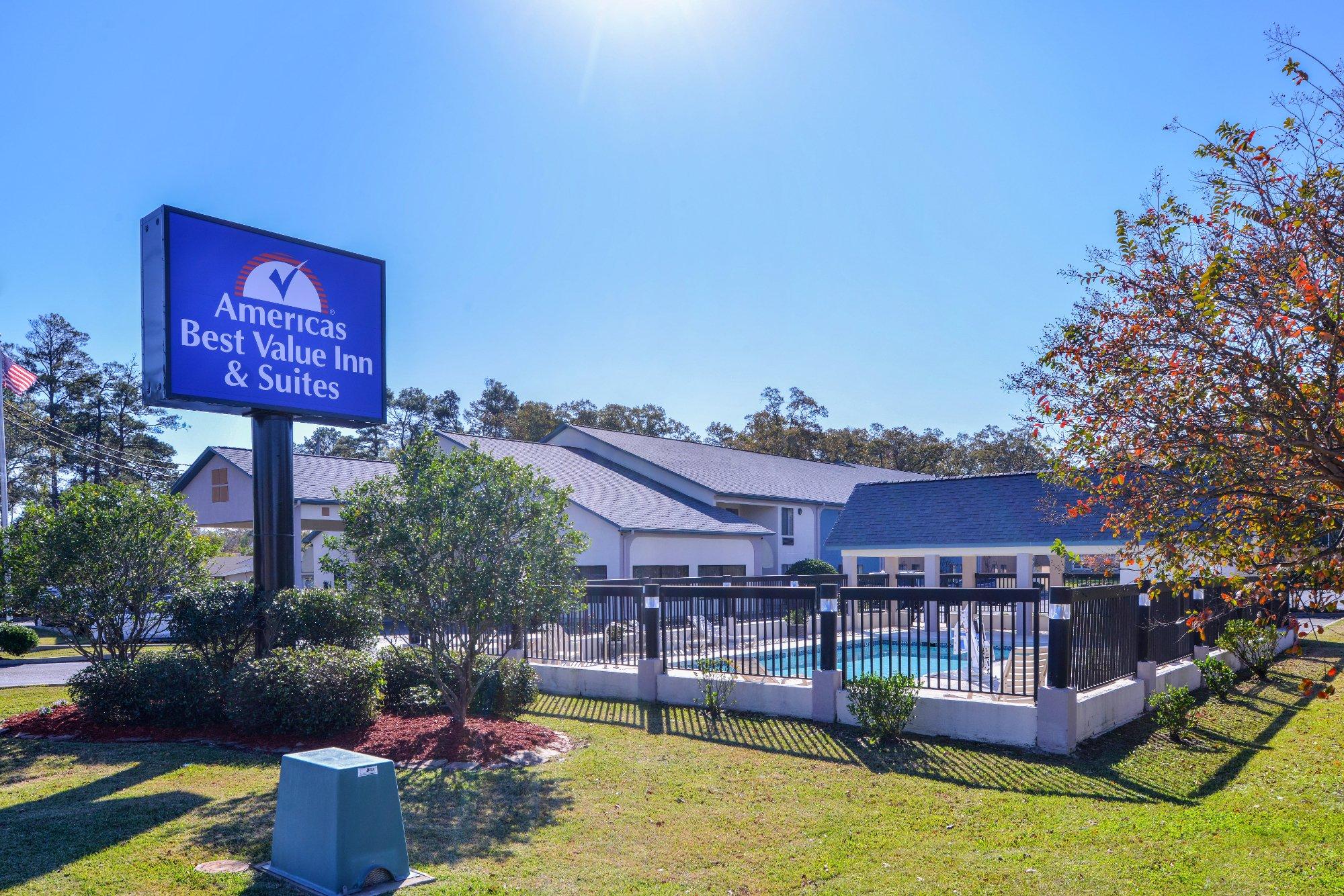
Places to stay
Hang your (vacation) hat in a place that’s just your style.
Advertisement


