Paintsville, KY
Advertisement
Paintsville, KY Map
Paintsville is a US city in Johnson County in the state of Kentucky. Located at the longitude and latitude of -82.806667, 37.811389 and situated at an elevation of 187 meters. In the 2020 United States Census, Paintsville, KY had a population of 4,312 people. Paintsville is in the Eastern Standard Time timezone at Coordinated Universal Time (UTC) -5. Find directions to Paintsville, KY, browse local businesses, landmarks, get current traffic estimates, road conditions, and more.
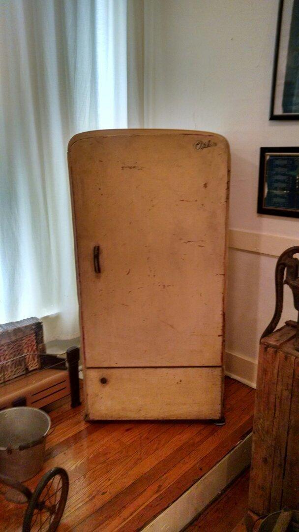
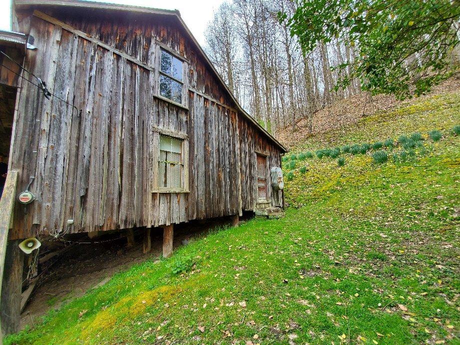
Paintsville, located in the heart of Kentucky, is a city that embraces both its rich Appalachian heritage and scenic natural surroundings. Known for its deep roots in country music, Paintsville proudly celebrates its connection to the legendary Loretta Lynn, who spent part of her childhood in the nearby Butcher Hollow. Visitors can explore the U.S. 23 Country Music Highway Museum, which offers an insightful tribute to the region's musical icons. The city is also home to the historic Mayo Mansion, a testament to the opulent lifestyle during the coal boom era, offering tours that delve into its architectural grandeur and historical significance.
For those seeking outdoor adventure, Paintsville Lake State Park is a popular destination, offering opportunities for fishing, boating, and hiking amidst the picturesque Appalachian landscape. The park's serene beauty provides a perfect escape for nature enthusiasts. Additionally, the city hosts the annual Kentucky Apple Festival, celebrating local culture with parades, crafts, and apple-themed treats, drawing visitors from across the state. Paintsville's blend of cultural history and natural beauty makes it a noteworthy stop for travelers exploring Kentucky.
Nearby cities include: Van Lear, KY, Auxier, KY, Prestonsburg, KY, Dwale, KY, Allen, KY, Salyersville, KY, Blaine, KY, Inez, KY, Martin, KY, Maytown, KY.
Places in Paintsville
Dine and drink
Eat and drink your way through town.
Can't-miss activities
Culture, natural beauty, and plain old fun.
Places to stay
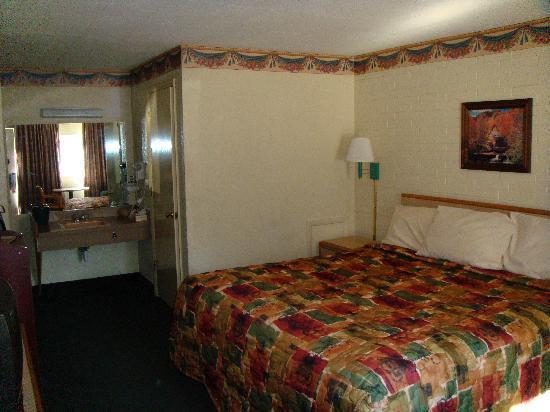
Hang your (vacation) hat in a place that’s just your style.
Advertisement


