


Pawnee Rock, KS
Advertisement
Pawnee Rock, KS Map
Pawnee Rock is a US city in Barton County in the state of Kansas. Located at the longitude and latitude of -98.982500, 38.265300 and situated at an elevation of 594 meters. In the 2020 United States Census, Pawnee Rock, KS had a population of 193 people. Pawnee Rock is in the Central Standard Time timezone at Coordinated Universal Time (UTC) -6. Find directions to Pawnee Rock, KS, browse local businesses, landmarks, get current traffic estimates, road conditions, and more.
Pawnee Rock, located in Kansas, is a small town with a rich historical significance, primarily known for its namesake landmark, Pawnee Rock State Historic Site. This sandstone bluff was a prominent landmark on the Santa Fe Trail in the 19th century, serving as a key navigation point for travelers and traders. It is believed that Native American tribes, including the Pawnee, used the site for ceremonial purposes and as a vantage point to observe bison herds and approaching wagon trains. Today, visitors can explore the site, which offers a panoramic view of the surrounding plains, providing a tangible connection to the past with interpretive signs and a small monument commemorating its importance.
Beyond its historical landmark, Pawnee Rock is celebrated for its quiet, rural charm and the opportunity to delve into Kansas' frontier history. While the town itself is modest, the Pawnee Rock State Historic Site is the central attraction, drawing history enthusiasts and those interested in the Santa Fe Trail. The site is maintained to preserve its historical integrity and offers a glimpse into the challenges and triumphs of the trailblazers who once traversed the rugged landscape. For visitors seeking a peaceful retreat that offers both historical insights and scenic beauty, Pawnee Rock provides a unique and enriching stop.
Nearby cities include: Pawnee Rock, KS, River, KS, Larned, KS, Radium, KS, Clarence, KS, Larned, KS, Buffalo, KS, Pleasant Grove, KS, Pawnee, KS, Douglas, KS.
Places in Pawnee Rock


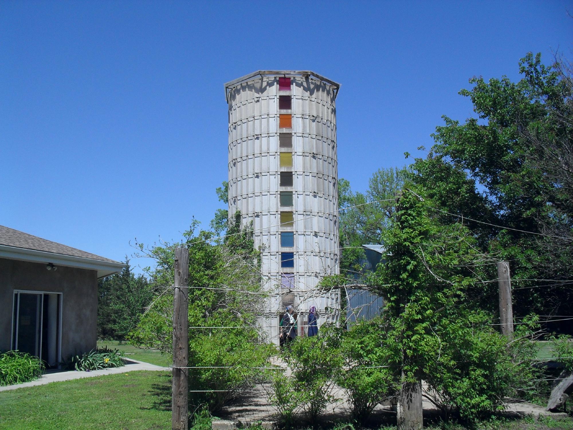
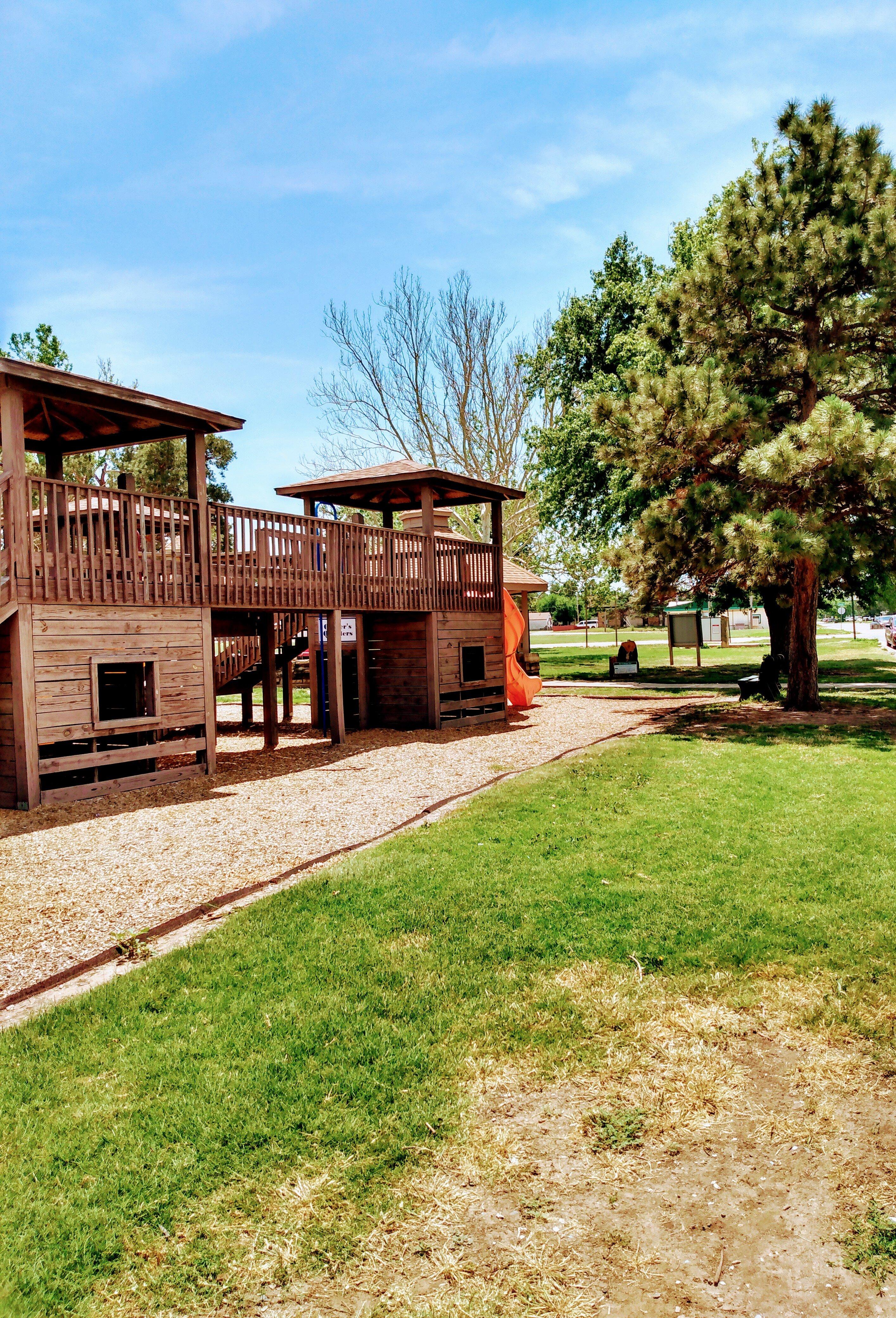
Can't-miss activities
Culture, natural beauty, and plain old fun.


Places to stay
Hang your (vacation) hat in a place that’s just your style.


Advertisement