McLouth, KS
Advertisement
McLouth, KS Map
McLouth is a US city in Jefferson County in the state of Kansas. Located at the longitude and latitude of -95.207500, 39.195280 and situated at an elevation of 356 meters. In the 2020 United States Census, McLouth, KS had a population of 859 people. McLouth is in the Central Standard Time timezone at Coordinated Universal Time (UTC) -6. Find directions to McLouth, KS, browse local businesses, landmarks, get current traffic estimates, road conditions, and more.
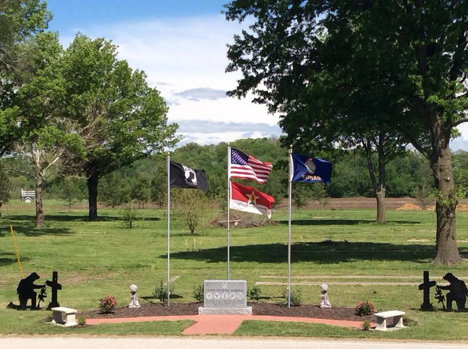
McLouth, Kansas, is a small city that offers a glimpse into the quiet, rural lifestyle of the American Midwest. Known for its friendly community and agricultural surroundings, McLouth provides a serene escape from the hustle and bustle of larger urban areas. The city is home to the annual McLouth Threshing Bee, an event that celebrates the region's rich agricultural heritage with demonstrations of vintage farming equipment, parades, and various family-friendly activities. This event is a highlight for both locals and visitors, drawing people interested in farming history and traditional techniques.
A visit to McLouth would not be complete without spending some time at the McLouth Public Library, which serves as a community hub offering a range of activities and resources. The library often hosts events and workshops that cater to all ages, making it a central part of the town's social life. For those interested in outdoor activities, McLouth's surrounding landscapes provide opportunities for hiking, fishing, and enjoying the natural beauty of Kansas. While McLouth may not boast a large number of tourist attractions, its charm lies in its simplicity and the warm hospitality of its residents, making it a peaceful destination for those looking to experience small-town America.
Nearby cities include: Union, KS, Tonganoxie, KS, Oskaloosa, KS, Oskaloosa, KS, Alexandria, KS, Sarcoxie, KS, Rural, KS, Tonganoxie, KS, Winchester, KS, Stranger, KS.
Places in McLouth
Dine and drink
Eat and drink your way through town.
Can't-miss activities
Culture, natural beauty, and plain old fun.
Places to stay
Hang your (vacation) hat in a place that’s just your style.
Advertisement


