Manhattan, KS
Advertisement
Manhattan, KS Map
Manhattan is a US city in Riley County in the state of Kansas. Located at the longitude and latitude of -96.586670, 39.190000 and situated at an elevation of 311 meters. In the 2020 United States Census, Manhattan, KS had a population of 54,100 people. Manhattan is in the Central Standard Time timezone at Coordinated Universal Time (UTC) -6. Find directions to Manhattan, KS, browse local businesses, landmarks, get current traffic estimates, road conditions, and more.
Manhattan, Kansas, often referred to as "The Little Apple," is known for its vibrant college town atmosphere, thanks primarily to Kansas State University. The university is a central hub of activity, bringing a youthful energy to the city and offering a range of cultural and sporting events throughout the year. One of the city's most popular attractions is the Flint Hills Discovery Center, which offers interactive exhibits that highlight the natural history of the unique Flint Hills region. Additionally, the downtown area, known as Aggieville, is a lively district filled with eclectic shops, restaurants, and bars, making it a favorite spot for both students and residents.
Historically, Manhattan was founded in the 1850s and has grown to become a significant agricultural and educational center in the region. The city has a charming mix of historic and modern architecture, with some buildings reflecting its 19th-century roots. Outdoor enthusiasts can enjoy the nearby Tuttle Creek State Park, which offers opportunities for hiking, camping, and water sports. Furthermore, the Konza Prairie Biological Station provides a chance to explore one of the few remaining tallgrass prairies in North America, offering a glimpse into the natural beauty that surrounds this dynamic and welcoming city.
Nearby cities include: Manhattan, KS, Ashland, KS, Blue, KS, Ogden, KS, Wildcat, KS, Ogden, KS, Green, KS, Fort Riley-Camp Whiteside, KS, Wingfield, KS, Fort Riley North, KS.
Places in Manhattan
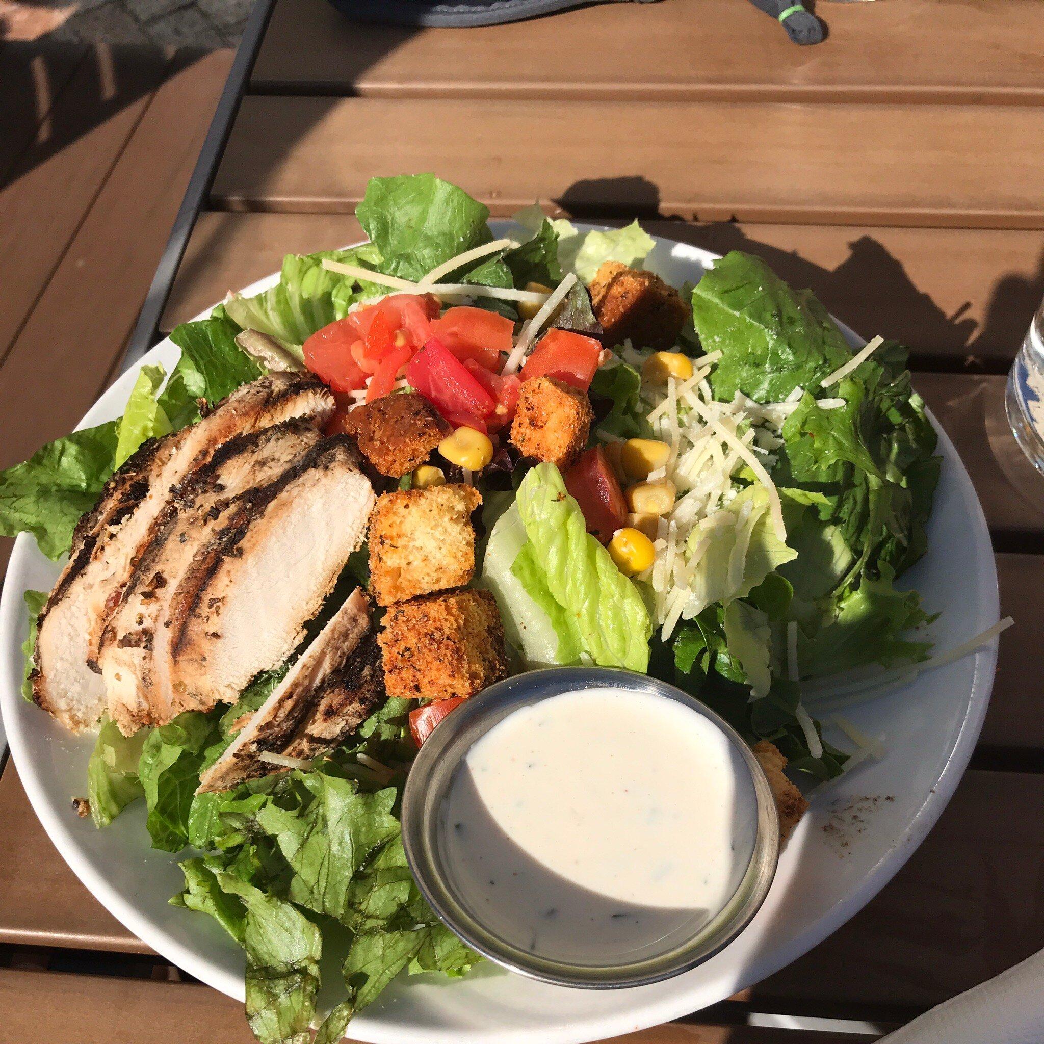
Dine and drink
Eat and drink your way through town.
Can't-miss activities
Culture, natural beauty, and plain old fun.
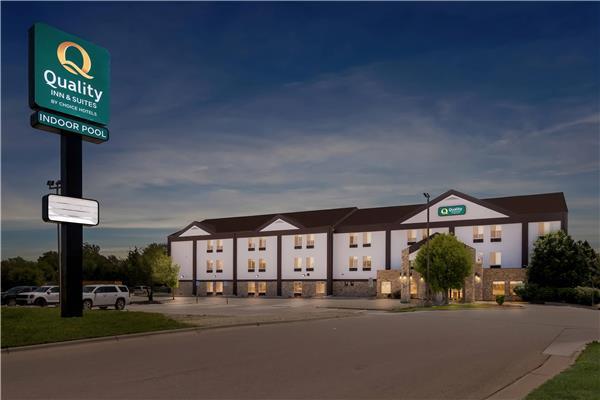
Places to stay
Hang your (vacation) hat in a place that’s just your style.
Advertisement


