


Louisburg, KS
Advertisement
Louisburg, KS Map
Louisburg is a US city in Miami County in the state of Kansas. Located at the longitude and latitude of -94.679200, 38.619700 and situated at an elevation of 333 meters. In the 2020 United States Census, Louisburg, KS had a population of 4,969 people. Louisburg is in the Central Standard Time timezone at Coordinated Universal Time (UTC) -6. Find directions to Louisburg, KS, browse local businesses, landmarks, get current traffic estimates, road conditions, and more.
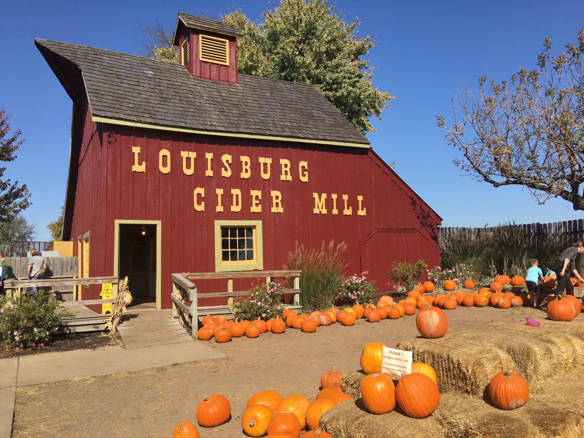
Louisburg, Kansas, is a charming city that offers a quintessential small-town American experience with a touch of historical allure. Known for its welcoming community and scenic landscapes, Louisburg is a popular destination for those seeking a peaceful retreat from the hustle and bustle of urban life. The city is particularly renowned for the Louisburg Cider Mill, a beloved local landmark where visitors can enjoy fresh cider and delicious homemade donuts, especially during the fall harvest season. This site also hosts annual events like the Ciderfest, which draws crowds for its festive atmosphere and traditional activities.
In addition to its culinary delights, Louisburg boasts several attractions that highlight its rich history and natural beauty. The Powell Observatory is a notable stop for astronomy enthusiasts, offering public viewing nights that allow guests to gaze at the stars through one of the largest telescopes available for public use in the Midwest. For those interested in history, the Louisburg Historical Museum provides a glimpse into the area's past, with exhibits showcasing artifacts and stories from the city's early days. Together, these attractions make Louisburg a unique and inviting destination for visitors of all ages.
Nearby cities include: Middle Creek, KS, West Line, MO, Ten Mile, KS, Cleveland, MO, Bucyrus, KS, Lake Annette, MO, Marysville, KS, Drexel, MO, Paola, KS, Sugar Creek, KS.
Places in Louisburg
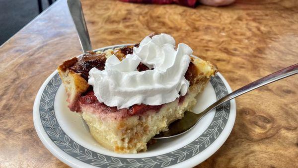
Dine and drink
Eat and drink your way through town.


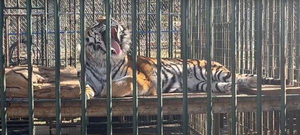
Can't-miss activities
Culture, natural beauty, and plain old fun.


Places to stay
Hang your (vacation) hat in a place that’s just your style.


Advertisement