


Great Bend, KS
Advertisement
Great Bend, KS Map
Great Bend is a US city in Barton County in the state of Kansas. Located at the longitude and latitude of -98.764700, 38.364400 and situated at an elevation of 564 meters. In the 2020 United States Census, Great Bend, KS had a population of 14,733 people. Great Bend is in the Central Standard Time timezone at Coordinated Universal Time (UTC) -6. Find directions to Great Bend, KS, browse local businesses, landmarks, get current traffic estimates, road conditions, and more.
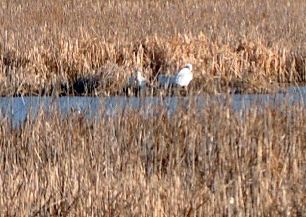
Great Bend, located in Kansas, is a city that is particularly known for its proximity to the Cheyenne Bottoms, one of the most significant inland wetlands in the United States. This natural area is a crucial habitat for migratory birds, making it a prime spot for birdwatching enthusiasts. The city embraces its natural heritage with the Kansas Wetlands Education Center, which provides insights into the unique ecosystem and its importance. Great Bend is also home to the Barton County Historical Society Museum and Village, where visitors can explore local history through a collection of preserved buildings and artifacts that paint a picture of life in the region from past centuries.
Great Bend's history is deeply tied to its location on the historic Santa Fe Trail, a 19th-century transportation route that was essential for trade and migration. This heritage is commemorated with the Santa Fe Trail Center, offering exhibits that delve into the trail's impact on the area. Additionally, the city offers recreational opportunities at the Great Bend Brit Spaugh Zoo, which provides a family-friendly environment to learn about various animal species, and Veterans Memorial Park, where visitors can enjoy outdoor activities and pay respects at the memorials. With its blend of natural beauty and historical significance, Great Bend offers a unique perspective on Kansas' cultural and ecological landscape.
Nearby cities include: Great Bend, KS, South Bend, KS, Buffalo, KS, South Homestead, KS, North Seward, KS, Ellinwood, KS, Comanche, KS, Lakin, KS, Hoisington, KS, Clarence, KS.
Places in Great Bend
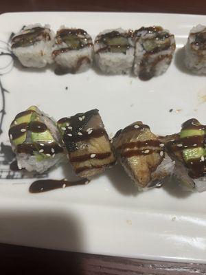
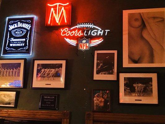
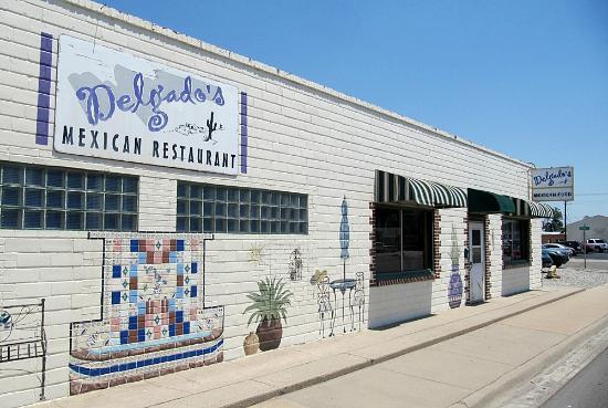
Dine and drink
Eat and drink your way through town.

Can't-miss activities
Culture, natural beauty, and plain old fun.


Places to stay
Hang your (vacation) hat in a place that’s just your style.


Advertisement