Ellinwood, KS
Advertisement
Ellinwood, KS Map
Ellinwood is a US city in Barton County in the state of Kansas. Located at the longitude and latitude of -98.580800, 38.356100 and situated at an elevation of 546 meters. In the 2020 United States Census, Ellinwood, KS had a population of 2,011 people. Ellinwood is in the Central Standard Time timezone at Coordinated Universal Time (UTC) -6. Find directions to Ellinwood, KS, browse local businesses, landmarks, get current traffic estimates, road conditions, and more.
Ellinwood, located in the heart of Kansas, is a city steeped in rich history and small-town charm. Known for its unique underground tunnels, Ellinwood offers a glimpse into its storied past when these subterranean passages were bustling with businesses and services in the late 19th and early 20th centuries. Today, visitors can explore the preserved sections of these tunnels, offering a fascinating peek into the city's entrepreneurial spirit during that era. The Ellinwood Historical Museum provides further insights into the city's development and the heritage of the local community.
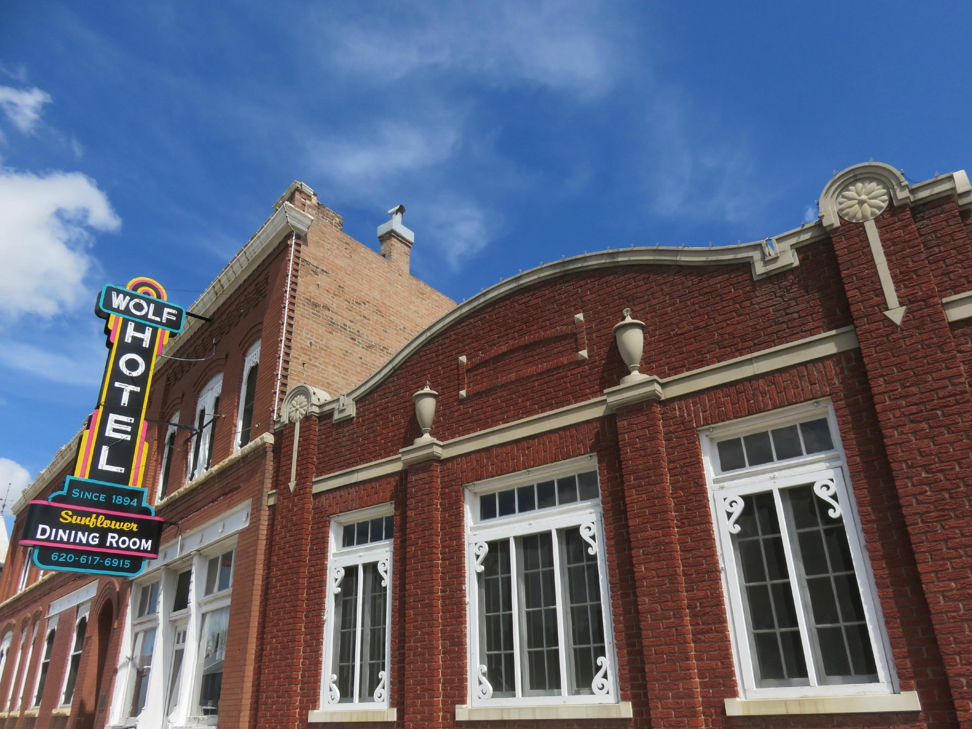
Among the notable attractions in Ellinwood is the Wolf Hotel, a historic establishment that has been restored to reflect its original grandeur, offering both a glimpse into the past and a cozy lodging option. The city also hosts several annual events, such as the After Harvest Festival, which celebrates the community's agricultural roots with parades, food, and entertainment. Visitors can enjoy a leisurely day at the city park or explore the nearby Cheyenne Bottoms, a renowned wetland area ideal for birdwatching and nature photography. Ellinwood's blend of history, local culture, and natural beauty makes it a noteworthy destination for those exploring Kansas.
Nearby cities include: Lakin, KS, Comanche, KS, Pioneer, KS, Raymond, KS, Great Bend, KS, Great Bend, KS, South Bend, KS, Byron, KS, Raymond, KS, Claflin, KS.
Places in Ellinwood
Dine and drink
Eat and drink your way through town.
Can't-miss activities
Culture, natural beauty, and plain old fun.
Places to stay
Hang your (vacation) hat in a place that’s just your style.
Advertisement


