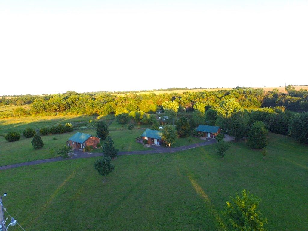
Douglass, KS
Advertisement
Douglass, KS Map
Douglass is a US city in Butler County in the state of Kansas. Located at the longitude and latitude of -97.011700, 37.516700 and situated at an elevation of 369 meters. In the 2020 United States Census, Douglass, KS had a population of 1,555 people. Douglass is in the Central Standard Time timezone at Coordinated Universal Time (UTC) -6. Find directions to Douglass, KS, browse local businesses, landmarks, get current traffic estimates, road conditions, and more.
Douglass, located in Kansas, is a quaint city known for its tight-knit community and serene rural landscape. Historically, Douglass has roots that trace back to the late 19th century, with its establishment closely linked to the expansion of the railway system, which played a significant role in its development. The city exudes a small-town charm that is representative of the American Midwest, offering a peaceful lifestyle away from the hustle and bustle of larger urban centers.
Among the popular places within Douglass is the Douglass Historical Museum, which provides insights into the city's past with its collection of artifacts and exhibits that showcase the local heritage. The city is also home to picturesque parks such as the Douglass City Park, where residents and visitors can enjoy outdoor activities and community events. The welcoming atmosphere and the city's commitment to preserving its historical roots make Douglass an interesting destination for those looking to explore the heart of Kansas.
Nearby cities include: Douglass, KS, Richland, KS, Rock, KS, Rock Creek, KS, Maple, KS, Rose Hill, KS, Bloomington, KS, Udall, KS, Rockford, KS, Gore, KS.
Places in Douglass
Dine and drink
Eat and drink your way through town.
Can't-miss activities
Culture, natural beauty, and plain old fun.
Places to stay
Hang your (vacation) hat in a place that’s just your style.
Advertisement


