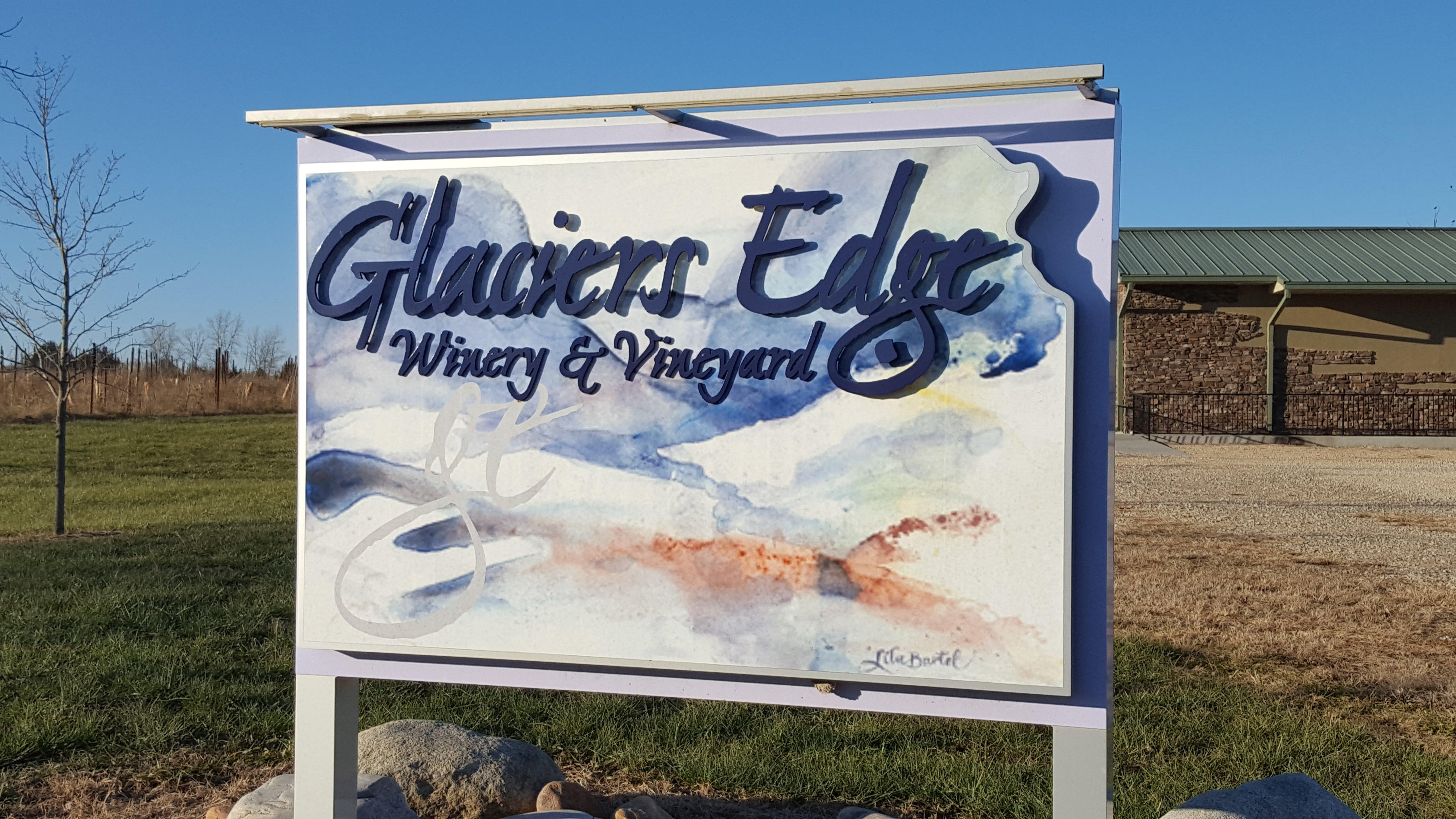
Burlingame, KS
Advertisement
Burlingame Map
Burlingame is a city in Osage County, Kansas, United States. It is part of the Topeka, Kansas Metropolitan Statistical Area. As of the 2010 census, the city population was 934.
Burlingame was originally established as Council City and was an important stop on the Santa Fe Trail. The Council City post office was opened on April 30, 1855. The wide brick main street, Santa Fe Avenue, was built wide enough for an oxen team to be able to make a U-turn. The city and post office name was changed from Council City to Burlingame on January 30, 1858, in honor of Anson Burlingame.
During the Civil War the townspeople constructed a stone fort in the town center. Burlingame's Fort was torn down after the war.
Nearby cities include Auburn, Lyndon, Vassar, Overbrook, Eskridge.
Places in Burlingame
Dine and drink
Eat and drink your way through town.
Can't-miss activities
Culture, natural beauty, and plain old fun.
Places to stay
Hang your (vacation) hat in a place that’s just your style.
Advertisement


