Stearns, KY
Advertisement
Stearns, KY Map
Stearns is a US city in McCreary County in the state of Kentucky. Located at the longitude and latitude of -84.476700, 36.698100 and situated at an elevation of 408 meters. In the 2020 United States Census, Stearns, KY had a population of 1,365 people. Stearns is in the Eastern Standard Time timezone at Coordinated Universal Time (UTC) -5. Find directions to Stearns, KY, browse local businesses, landmarks, get current traffic estimates, road conditions, and more.
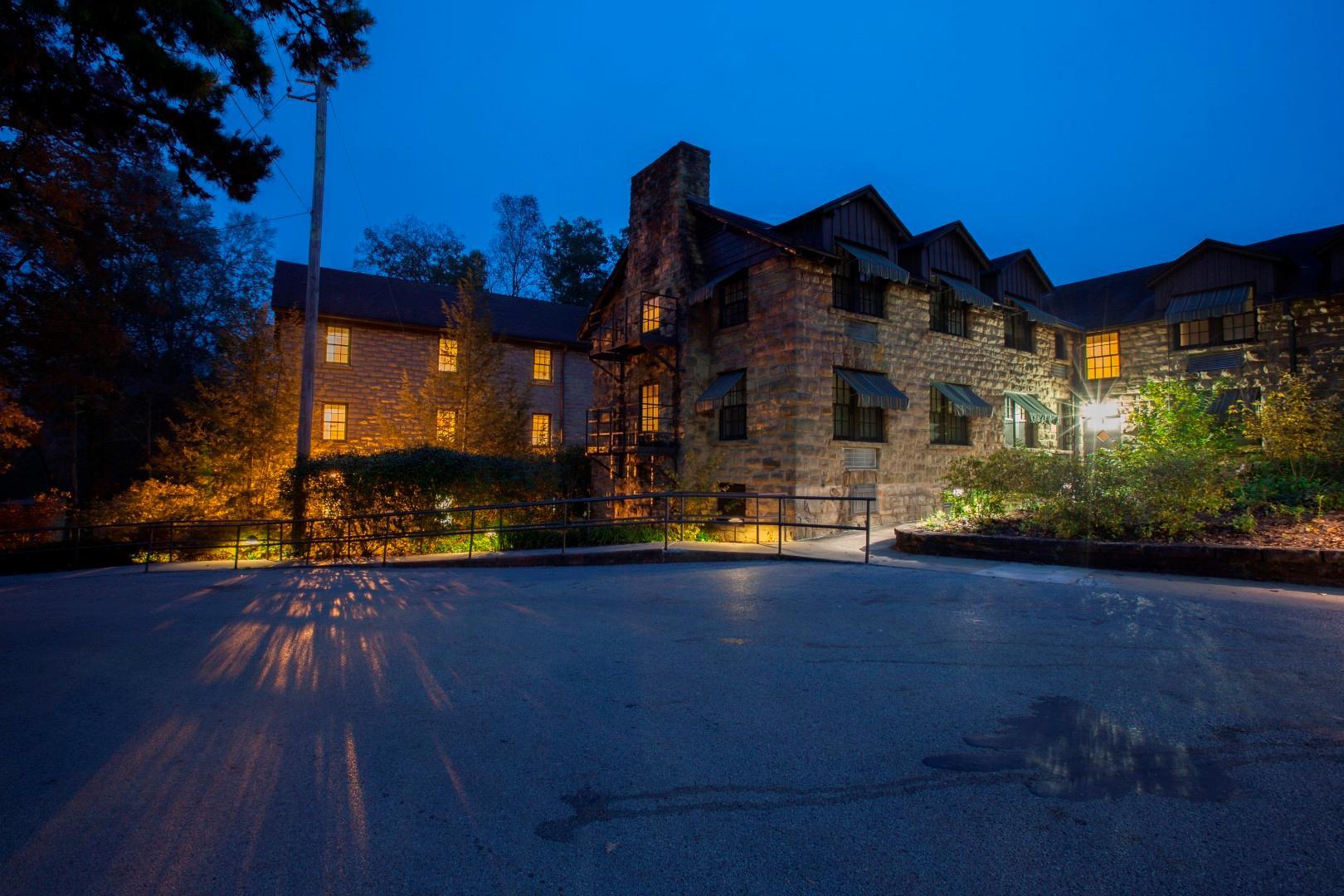
Stearns, Kentucky, is a small town known for its rich history tied to the coal mining industry and the lumber trade. Established in the early 20th century, the town was originally developed by the Stearns Coal and Lumber Company, which played a pivotal role in the region's economic growth. Visitors to Stearns can explore the historic McCreary County Museum, housed in the old Stearns Coal and Lumber Company office, which offers insights into the area's industrial past and the lives of the people who worked in the mines and forests.
One of the town's major attractions is the Big South Fork Scenic Railway, a heritage railroad that takes passengers on a picturesque journey through the Daniel Boone National Forest and into the heart of the Big South Fork National River and Recreation Area. This excursion not only showcases the natural beauty of the region but also provides a glimpse into the historical significance of rail transport in the area. Additionally, Stearns serves as a gateway to outdoor adventures, with numerous hiking, biking, and horseback riding trails available in the nearby national forest, making it a popular destination for nature enthusiasts.
Nearby cities include: Whitley City, KY, Pine Knot, KY, Winfield, TN, Oneida, TN, Williamsburg, KY, Helenwood, TN, Huntsville, TN, Jellico, TN, Burnside, KY, Rockholds, KY.
Places in Stearns
Dine and drink
Eat and drink your way through town.
Can't-miss activities
Culture, natural beauty, and plain old fun.
Places to stay
Hang your (vacation) hat in a place that’s just your style.
Advertisement


