Rosine, KY
Advertisement
Rosine, KY Map
Rosine is a US city in Ohio County in the state of Kentucky. Located at the longitude and latitude of -86.741389, 37.450278 and situated at an elevation of 169 meters. In the 2020 United States Census, Rosine, KY had a population of 110 people. Rosine is in the Central Standard Time timezone at Coordinated Universal Time (UTC) -6. Find directions to Rosine, KY, browse local businesses, landmarks, get current traffic estimates, road conditions, and more.
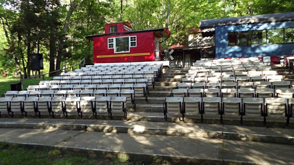
Rosine, Kentucky, is renowned as the birthplace of bluegrass music, a genre that has left a profound impact on the world of music. This small, unassuming town holds a significant place in the hearts of bluegrass enthusiasts due to its association with Bill Monroe, the "Father of Bluegrass." Visitors to Rosine can explore the Bill Monroe Homeplace, a preserved log cabin where Monroe grew up, offering a glimpse into the humble beginnings of this influential musician. Additionally, the Rosine Barn Jamboree is a must-visit spot, where live bluegrass music fills the air every Friday night, capturing the authentic spirit of this musical tradition.
History buffs and music lovers alike will find Rosine an intriguing destination, as the town's history is closely intertwined with the evolution of bluegrass music. The Rosine Cemetery is another notable site, where Bill Monroe and several of his family members are laid to rest, providing a place of reflection for those who wish to pay their respects. The town's charm lies in its dedication to preserving and celebrating its musical heritage, making it a unique and culturally rich destination for anyone interested in the roots of American music.
Nearby cities include: Beaver Dam, KY, Hartford, KY, McHenry, KY, Fordsville, KY, Caneyville, KY, Centertown, KY, Rockport, KY, Morgantown, KY, Whitesville, KY, Rochester, KY.
Places in Rosine
Dine and drink
Eat and drink your way through town.
Can't-miss activities
Culture, natural beauty, and plain old fun.
Places to stay
Hang your (vacation) hat in a place that’s just your style.
Advertisement


